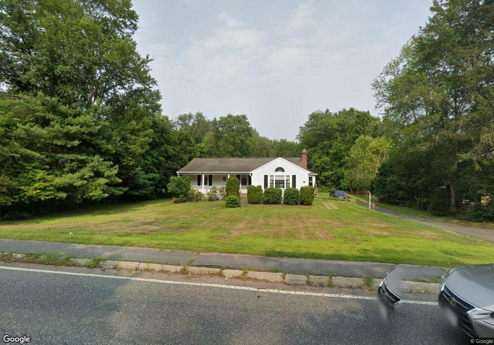
233 Concord St Holliston, MA 01746
Estimated Value: $604,000 - $653,000
3
Beds
1
Bath
1,440
Sq Ft
$435/Sq Ft
Est. Value
About This Home
This home is located at 233 Concord St, Holliston, MA 01746 and is currently estimated at $626,188, approximately $434 per square foot. 233 Concord St is a home located in Middlesex County with nearby schools including Placentino Elementary School, Miller Elementary School, and Robert H. Adams Middle School.
Ownership History
Date
Name
Owned For
Owner Type
Purchase Details
Closed on
Apr 11, 2023
Sold by
Guyon Paul L and Guyon Lois A
Bought by
Guyon Ft and Garbarino
Current Estimated Value
Purchase Details
Closed on
Apr 18, 1979
Bought by
Guyon Paul L and Guyon Lois A
Create a Home Valuation Report for This Property
The Home Valuation Report is an in-depth analysis detailing your home's value as well as a comparison with similar homes in the area
Home Values in the Area
Average Home Value in this Area
Purchase History
| Date | Buyer | Sale Price | Title Company |
|---|---|---|---|
| Guyon Ft | -- | None Available | |
| Guyon Ft | -- | None Available | |
| Guyon Paul L | $30,000 | -- |
Source: Public Records
Mortgage History
| Date | Status | Borrower | Loan Amount |
|---|---|---|---|
| Previous Owner | Guyon Paul L | $58,000 | |
| Previous Owner | Guyon Paul L | $255,000 | |
| Previous Owner | Guyon Paul L | $58,500 |
Source: Public Records
Tax History
| Year | Tax Paid | Tax Assessment Tax Assessment Total Assessment is a certain percentage of the fair market value that is determined by local assessors to be the total taxable value of land and additions on the property. | Land | Improvement |
|---|---|---|---|---|
| 2025 | $8,270 | $564,500 | $289,900 | $274,600 |
| 2024 | $7,953 | $528,100 | $289,900 | $238,200 |
| 2023 | $7,075 | $459,400 | $241,700 | $217,700 |
| 2022 | $6,983 | $401,800 | $241,700 | $160,100 |
| 2021 | $7,078 | $396,500 | $233,000 | $163,500 |
| 2020 | $7,227 | $383,400 | $232,200 | $151,200 |
| 2019 | $6,585 | $349,700 | $202,000 | $147,700 |
| 2018 | $6,529 | $349,700 | $202,000 | $147,700 |
| 2017 | $5,999 | $323,900 | $194,100 | $129,800 |
| 2016 | $6,086 | $323,900 | $194,100 | $129,800 |
| 2015 | $5,632 | $290,600 | $151,900 | $138,700 |
Source: Public Records
Map
Nearby Homes
- 140 Concord St
- 1 Danforth Dr
- 3 Danforth Dr
- 59 Brooksmont Dr Unit 59
- 11 Wingate Rd
- 160 Winter St
- 151 Mohawk Path
- 152 Turner Rd Unit 13
- 152 Turner Rd Unit 43
- 147 Turner Rd Unit 80
- 241 Trailside Way
- 26 Meeting House Path Unit 26
- 306 Trailside Way
- 74 Meeting House Path
- 1366 Washington St
- 277 Meeting House Path
- 8 Raymond Way
- 33 Garett Way Unit 33
- 37 Garett Way Unit 37
- 7 Lone Oak Cir