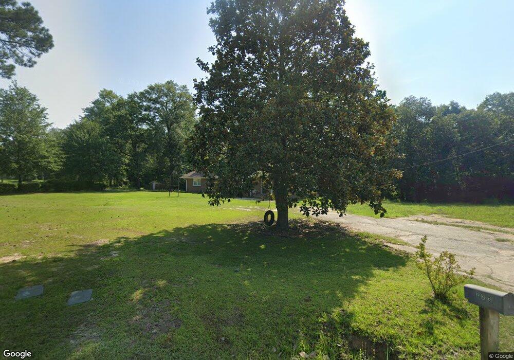
233 Davidson Rd Bonaire, GA 31005
Estimated Value: $160,199 - $388,000
--
Bed
2
Baths
2,472
Sq Ft
$115/Sq Ft
Est. Value
About This Home
This home is located at 233 Davidson Rd, Bonaire, GA 31005 and is currently estimated at $283,550, approximately $114 per square foot. 233 Davidson Rd is a home located in Houston County with nearby schools including Bonaire Elementary School, Bonaire Middle School, and Veterans High School.
Ownership History
Date
Name
Owned For
Owner Type
Purchase Details
Closed on
Mar 5, 2013
Sold by
Davidson Ruel Howard and Howard Davidson R
Bought by
Davidson Larry
Current Estimated Value
Purchase Details
Closed on
Apr 12, 2007
Sold by
Davidson Ruel Howard and Howard Davidson R
Bought by
Houston County
Purchase Details
Closed on
Mar 29, 1998
Sold by
Davidson Henrietta K
Bought by
Davidson Howard R
Purchase Details
Closed on
Dec 16, 1967
Bought by
Davidson Howard R and Davidson Henrietta K
Create a Home Valuation Report for This Property
The Home Valuation Report is an in-depth analysis detailing your home's value as well as a comparison with similar homes in the area
Home Values in the Area
Average Home Value in this Area
Purchase History
| Date | Buyer | Sale Price | Title Company |
|---|---|---|---|
| Davidson Larry | -- | None Available | |
| Houston County | -- | None Available | |
| Davidson Howard R | -- | -- | |
| Davidson Howard R | -- | -- |
Source: Public Records
Tax History Compared to Growth
Tax History
| Year | Tax Paid | Tax Assessment Tax Assessment Total Assessment is a certain percentage of the fair market value that is determined by local assessors to be the total taxable value of land and additions on the property. | Land | Improvement |
|---|---|---|---|---|
| 2024 | $739 | $30,908 | $12,160 | $18,748 |
| 2023 | $538 | $22,268 | $10,120 | $12,148 |
| 2022 | $473 | $21,588 | $10,120 | $11,468 |
| 2021 | $417 | $19,160 | $7,920 | $11,240 |
| 2020 | $380 | $17,560 | $6,320 | $11,240 |
| 2019 | $380 | $17,560 | $6,320 | $11,240 |
| 2018 | $380 | $17,560 | $6,320 | $11,240 |
| 2017 | $380 | $17,560 | $6,320 | $11,240 |
| 2016 | $381 | $17,560 | $6,320 | $11,240 |
| 2015 | $382 | $17,560 | $6,320 | $11,240 |
| 2014 | -- | $17,560 | $6,320 | $11,240 |
| 2013 | -- | $17,560 | $6,320 | $11,240 |
Source: Public Records
Map
Nearby Homes
- 412 Chelsea Leigh Ave Unit 8
- 814 Brittany Nichole Lot 121 Ct
- 701 Linda Gail Way Unit 109
- Perry Plan at Harley Farms - South
- Bedford Plan at Harley Farms - South
- Peachwood Plan at Harley Farms - South
- Auburn Plan at Harley Farms - South
- Woodbury Plan at Harley Farms - South
- Yarborough Plan at Harley Farms - South
- Kathleen Plan at Harley Farms - South
- Montrose Plan at Harley Farms - South
- 816 Brittany Nichole Lot 120 Ct
- 814 Brittany Nichole Court 121
- 808
- 806 Brittany Nichole Lot 125
- 813 Brittany Nichole Ct Unit 134
- 806 Brittany Nichole Ct
- 813 Brittany Nichole Ct Unit LOT 135
- 811 Brittany Nichole Ct Unit LOT 134
- 801 Brittany Nichole Ct Unit LOT 129
- 229 Davidson Rd
- 217 Davidson Rd
- 228 Davidson Rd
- 182 Davidson Rd
- 501 Foster Sydney Ct
- 269 Ashley Nicole Ave
- 402 Sugarberry Ct
- 404 Sugarberry Ct
- 614 Jeffery Thomas Dr
- 400 Sugarberry Ct
- 405 Sugarberry Ct
- 610 Jeffery Thomas Dr
- 257 Ashley Nicole Ave
- 331 Loblolly Dr
- 608 Jeffery Thomas Dr
- 0 Sugarberry Ct
- 236 Davidson Rd
- 710 Lindsey Brooke
- lot 166 Lindsey Brooke
- 403 Sugarberry Ct
