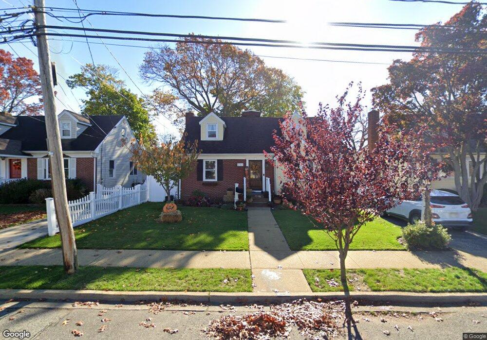
233 Elsie Ave Merrick, NY 11566
Estimated Value: $693,000 - $740,050
4
Beds
2
Baths
1,248
Sq Ft
$574/Sq Ft
Est. Value
About This Home
This home is located at 233 Elsie Ave, Merrick, NY 11566 and is currently estimated at $716,525, approximately $574 per square foot. 233 Elsie Ave is a home located in Nassau County with nearby schools including Merrick Avenue Middle School, Sanford H Calhoun High School, and Grace Christian Academy.
Ownership History
Date
Name
Owned For
Owner Type
Purchase Details
Closed on
Aug 16, 2016
Sold by
Tapia America and Warner Debra Susan
Bought by
Martin Michael A and Giorgio Martin Jenna M
Current Estimated Value
Home Financials for this Owner
Home Financials are based on the most recent Mortgage that was taken out on this home.
Original Mortgage
$11,700
Outstanding Balance
$9,352
Interest Rate
3.45%
Mortgage Type
Second Mortgage Made To Cover Down Payment
Estimated Equity
$707,173
Purchase Details
Closed on
Jun 13, 2007
Sold by
Tapia America
Create a Home Valuation Report for This Property
The Home Valuation Report is an in-depth analysis detailing your home's value as well as a comparison with similar homes in the area
Home Values in the Area
Average Home Value in this Area
Purchase History
| Date | Buyer | Sale Price | Title Company |
|---|---|---|---|
| Martin Michael A | $390,000 | Chicago Title Insurance Comp | |
| -- | -- | -- |
Source: Public Records
Mortgage History
| Date | Status | Borrower | Loan Amount |
|---|---|---|---|
| Open | Martin Michael A | $11,700 | |
| Open | Martin Michael A | $370,000 |
Source: Public Records
Tax History Compared to Growth
Tax History
| Year | Tax Paid | Tax Assessment Tax Assessment Total Assessment is a certain percentage of the fair market value that is determined by local assessors to be the total taxable value of land and additions on the property. | Land | Improvement |
|---|---|---|---|---|
| 2025 | $13,690 | $453 | $190 | $263 |
| 2024 | $3,168 | $466 | $196 | $270 |
| 2023 | $12,368 | $469 | $197 | $272 |
| 2022 | $12,368 | $490 | $206 | $284 |
| 2021 | $17,327 | $471 | $198 | $273 |
| 2020 | $11,689 | $531 | $524 | $7 |
| 2019 | $10,101 | $569 | $527 | $42 |
| 2018 | $10,166 | $607 | $0 | $0 |
| 2017 | $666 | $649 | $440 | $209 |
| 2016 | $2,890 | $649 | $440 | $209 |
| 2015 | $2,493 | $829 | $562 | $267 |
| 2014 | $2,493 | $829 | $562 | $267 |
| 2013 | $2,358 | $829 | $562 | $267 |
Source: Public Records
Map
Nearby Homes
- 1729 Gormley Ave
- 1707 Carroll Ave
- 1938 Meadowbrook Rd
- 1818 Gormley Ave
- 1824 Gildersleeve St
- 96 Thelma Ave
- 1772 Rose St
- 25 Babylon Turnpike
- 78 Jesse St
- 1922 Horatio Ave
- 1931 Miller Place
- 1800 Remson Ave
- 45 Lakeview Ave
- 451 Babylon Turnpike
- 251 Grand Ave
- 1741 Pettit Ave
- 49 Elizabeth St
- 1690 Argyle Rd
- 1910 Adair Place
- 221 E Dean St