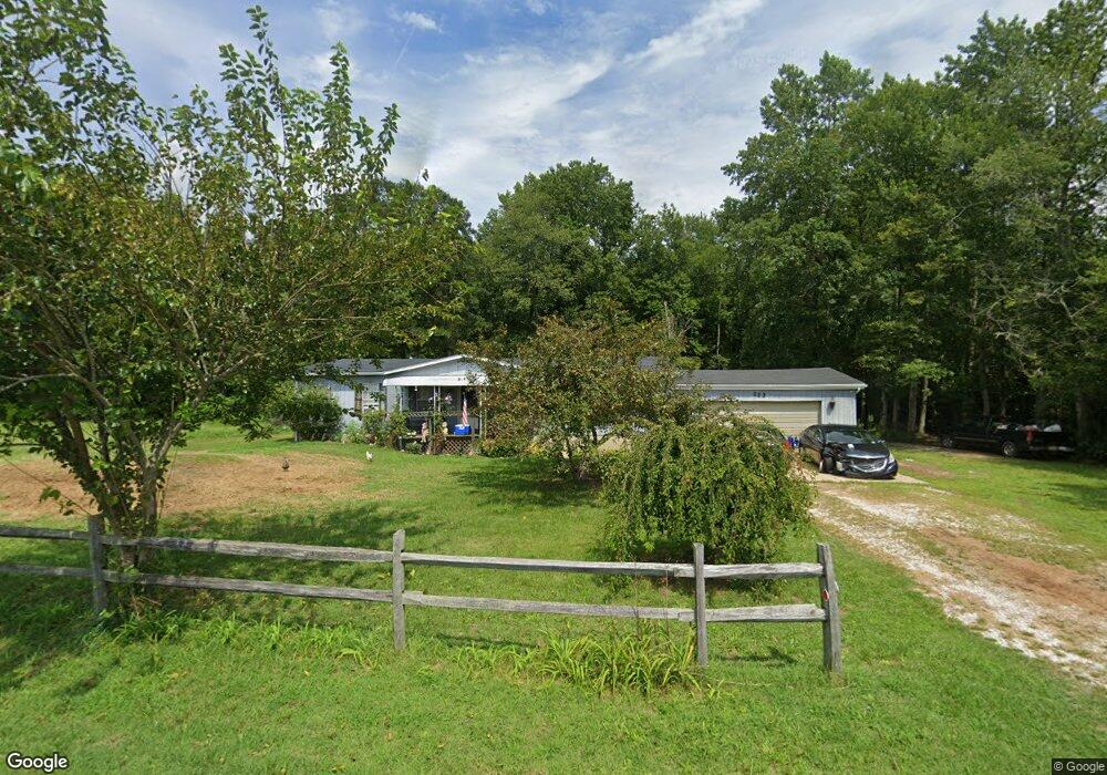
233 Fortescue Rd Newport, NJ 08345
Estimated Value: $222,000 - $286,365
3
Beds
2
Baths
1,352
Sq Ft
$198/Sq Ft
Est. Value
About This Home
This home is located at 233 Fortescue Rd, Newport, NJ 08345 and is currently estimated at $268,341, approximately $198 per square foot. 233 Fortescue Rd is a home located in Cumberland County with nearby schools including Downe Township Elementary School.
Ownership History
Date
Name
Owned For
Owner Type
Purchase Details
Closed on
Mar 23, 2011
Sold by
Pugh Earl L and Pugh Joan M
Bought by
Whilden Michael and Buono Alexis
Current Estimated Value
Home Financials for this Owner
Home Financials are based on the most recent Mortgage that was taken out on this home.
Original Mortgage
$86,809
Outstanding Balance
$58,825
Interest Rate
4.5%
Mortgage Type
FHA
Estimated Equity
$209,516
Purchase Details
Closed on
Aug 8, 2006
Sold by
Miller Allen W
Bought by
Pugh Walter T
Create a Home Valuation Report for This Property
The Home Valuation Report is an in-depth analysis detailing your home's value as well as a comparison with similar homes in the area
Home Values in the Area
Average Home Value in this Area
Purchase History
| Date | Buyer | Sale Price | Title Company |
|---|---|---|---|
| Whilden Michael | $89,100 | -- | |
| Pugh Walter T | -- | -- |
Source: Public Records
Mortgage History
| Date | Status | Borrower | Loan Amount |
|---|---|---|---|
| Open | Whilden Michael | $86,809 |
Source: Public Records
Tax History Compared to Growth
Tax History
| Year | Tax Paid | Tax Assessment Tax Assessment Total Assessment is a certain percentage of the fair market value that is determined by local assessors to be the total taxable value of land and additions on the property. | Land | Improvement |
|---|---|---|---|---|
| 2025 | $4,136 | $143,400 | $36,000 | $107,400 |
| 2024 | $4,136 | $143,400 | $36,000 | $107,400 |
| 2023 | $3,771 | $143,400 | $36,000 | $107,400 |
| 2022 | $3,677 | $143,400 | $36,000 | $107,400 |
| 2021 | $3,353 | $143,400 | $36,000 | $107,400 |
| 2020 | $3,449 | $143,400 | $36,000 | $107,400 |
| 2019 | $3,391 | $143,400 | $36,000 | $107,400 |
| 2018 | $3,436 | $143,400 | $36,000 | $107,400 |
| 2017 | $3,300 | $143,400 | $36,000 | $107,400 |
| 2016 | $3,297 | $143,400 | $36,000 | $107,400 |
| 2015 | $3,092 | $143,400 | $36,000 | $107,400 |
| 2014 | $2,864 | $143,400 | $36,000 | $107,400 |
Source: Public Records
Map
Nearby Homes
- 281 Fortescue Rd
- 13 Hall St
- 184 Landing Rd
- 0 Relm Ave Unit NJCB2022890
- 0 Keln Ave Unit NJCB2022904
- 91 Landis Ave
- 554 Old Beaver Dam Rd
- 12 Lores Ln
- 442 Shaws Mill Rd
- 873 875 Downe Ave
- 102 Garrison Ave
- 94 Delaware Ave
- 7 Princeton Ave
- 116 Delaware Ave
- 114 Delaware Ave
- 18 Vassar Ave
- 21 Vassar Ave
- 860 Downe Ave
- 870 Downe Ave
- 184 New Jersey Ave
- 237 Fortescue Rd
- 211 Fortescue Rd
- 139 Fortescue Rd
- 248 Newport Neck Rd
- 186 Fortescue Rd
- 187 Fortescue Rd
- 149 Fortescue Rd
- 264 Newport Neck Rd
- 180 Fortescue Rd
- 177 Fortescue Rd
- 280 Newport Neck Rd
- 124 Newport Ave
- 287 Fortescue Rd Unit 293
- 19 Husted Ln
- 9 Husted Ln
- 159 Fortescue Rd
- 303 Fortescue Rd
- 150 Fortescue Rd
- 169 Fortescue Rd
- 310 Newport Neck Rd