233 High Point Cir Spring Branch, TX 78070
Canyon Lake NeighborhoodEstimated Value: $765,000 - $970,000
5
Beds
3
Baths
3,877
Sq Ft
$214/Sq Ft
Est. Value
About This Home
This home is located at 233 High Point Cir, Spring Branch, TX 78070 and is currently estimated at $829,867, approximately $214 per square foot. 233 High Point Cir is a home located in Comal County with nearby schools including Rebecca Creek Elementary School, Mt Valley Middle School, and Canyon Lake High School.
Ownership History
Date
Name
Owned For
Owner Type
Purchase Details
Closed on
Mar 4, 2024
Sold by
Kasch Christopher Lee and Kasch Erika K
Bought by
Farmer Robert K and Farmer Casandria C
Current Estimated Value
Home Financials for this Owner
Home Financials are based on the most recent Mortgage that was taken out on this home.
Original Mortgage
$650,000
Outstanding Balance
$639,127
Interest Rate
6.6%
Mortgage Type
Seller Take Back
Estimated Equity
$190,740
Create a Home Valuation Report for This Property
The Home Valuation Report is an in-depth analysis detailing your home's value as well as a comparison with similar homes in the area
Home Values in the Area
Average Home Value in this Area
Purchase History
| Date | Buyer | Sale Price | Title Company |
|---|---|---|---|
| Farmer Robert K | -- | Alamo Title Company |
Source: Public Records
Mortgage History
| Date | Status | Borrower | Loan Amount |
|---|---|---|---|
| Open | Farmer Robert K | $650,000 |
Source: Public Records
Tax History Compared to Growth
Tax History
| Year | Tax Paid | Tax Assessment Tax Assessment Total Assessment is a certain percentage of the fair market value that is determined by local assessors to be the total taxable value of land and additions on the property. | Land | Improvement |
|---|---|---|---|---|
| 2025 | $6,545 | $708,220 | $107,000 | $601,220 |
| 2024 | $6,545 | $655,873 | -- | -- |
| 2023 | $6,545 | $596,248 | $0 | $0 |
| 2022 | $6,394 | $542,044 | -- | -- |
| 2021 | $8,778 | $510,970 | $42,000 | $468,970 |
| 2020 | $8,300 | $447,970 | $35,700 | $412,270 |
| 2019 | $9,026 | $475,530 | $29,400 | $446,130 |
| 2018 | $8,190 | $432,620 | $29,400 | $403,220 |
| 2017 | $7,928 | $422,150 | $24,000 | $398,150 |
| 2016 | $7,312 | $404,400 | $20,000 | $384,400 |
| 2015 | $5,211 | $353,960 | $20,000 | $333,960 |
| 2014 | $5,211 | $353,960 | $20,000 | $333,960 |
Source: Public Records
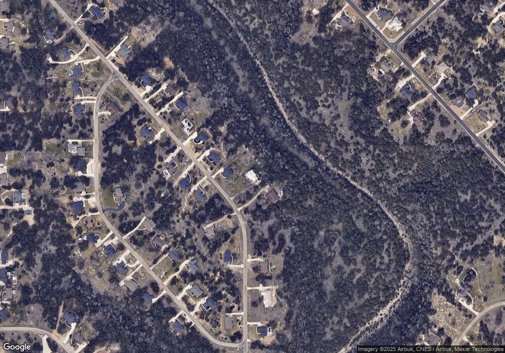
Map
Nearby Homes
- 353 Warbler Dr
- 356 Warbler Dr
- 340 Warbler Dr
- 113 Alondra Ln
- 1318 Mystic Shores Blvd
- 1225 Mystic Shores Blvd
- 192 Macaw Ln
- 273 Toucan Dr
- 306 Toucan Dr
- 319 Toucan Dr
- 237 Toucan Dr
- 1366 Mystic Shores Blvd
- 133 Macaw Ln
- 311 Toucan Dr
- 149 Alondra Ln
- 1372 Mystic Shores Blvd
- 211 Macaw Ln
- 123 Heron Pass
- 523 Mystic Pkwy
- 5028 Tanglewood Trail
- 229 High Point Cir Unit 10
- 229 High Point Cir
- 237 High Point Cir
- 225 High Point Cir
- 241 High Point Cir Unit 10
- 241 High Point Cir
- 228 High Point Cir Unit 10
- 221 High Point Cir
- 236 High Point Cir
- 245 High Point Cir
- 224 High Point Cir Unit 10
- 224 High Point Cir
- 246 High Point Cir
- 220 High Point Cir
- 217 High Point Cir
- 249 High Point Cir Unit 10
- 249 High Point Cir
- 213 High Point
- 213 High Point Cir
- 349 Warbler Dr