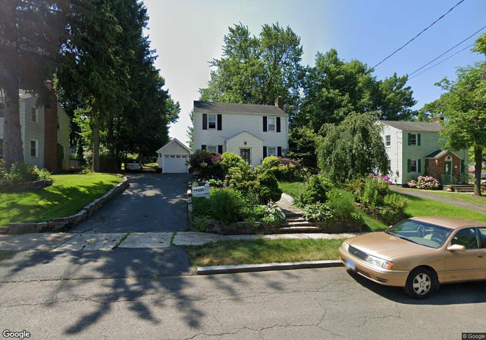
233 Manchester St Hartford, CT 06112
Blue Hills NeighborhoodEstimated Value: $269,000 - $278,000
3
Beds
2
Baths
1,128
Sq Ft
$242/Sq Ft
Est. Value
About This Home
This home is located at 233 Manchester St, Hartford, CT 06112 and is currently estimated at $273,299, approximately $242 per square foot. 233 Manchester St is a home located in Hartford County with nearby schools including Rawson School, Breakthrough Magnet School - North Campus, and West Middle School.
Ownership History
Date
Name
Owned For
Owner Type
Purchase Details
Closed on
Jul 31, 1989
Sold by
Perz Roberto L
Bought by
Tibby Renette
Current Estimated Value
Home Financials for this Owner
Home Financials are based on the most recent Mortgage that was taken out on this home.
Original Mortgage
$103,600
Interest Rate
9.9%
Mortgage Type
Purchase Money Mortgage
Purchase Details
Closed on
Jan 14, 1987
Sold by
Raynor Linford G
Bought by
Perez Roberto L
Create a Home Valuation Report for This Property
The Home Valuation Report is an in-depth analysis detailing your home's value as well as a comparison with similar homes in the area
Home Values in the Area
Average Home Value in this Area
Purchase History
| Date | Buyer | Sale Price | Title Company |
|---|---|---|---|
| Tibby Renette | $120,000 | -- | |
| Perez Roberto L | $80,000 | -- |
Source: Public Records
Mortgage History
| Date | Status | Borrower | Loan Amount |
|---|---|---|---|
| Open | Perez Roberto L | $89,176 | |
| Closed | Perez Roberto L | $96,000 | |
| Closed | Perez Roberto L | $96,800 | |
| Closed | Perez Roberto L | $103,600 |
Source: Public Records
Tax History Compared to Growth
Tax History
| Year | Tax Paid | Tax Assessment Tax Assessment Total Assessment is a certain percentage of the fair market value that is determined by local assessors to be the total taxable value of land and additions on the property. | Land | Improvement |
|---|---|---|---|---|
| 2025 | $4,574 | $66,334 | $5,770 | $60,564 |
| 2024 | $4,574 | $66,334 | $5,770 | $60,564 |
| 2023 | $4,265 | $61,850 | $5,770 | $56,080 |
| 2022 | $4,265 | $61,851 | $5,770 | $56,081 |
| 2021 | $3,141 | $42,280 | $6,860 | $35,420 |
| 2020 | $3,141 | $42,280 | $6,860 | $35,420 |
| 2019 | $3,141 | $42,280 | $6,860 | $35,420 |
| 2018 | $3,035 | $40,855 | $6,629 | $34,226 |
| 2016 | $3,336 | $44,901 | $6,313 | $38,588 |
| 2015 | $3,177 | $42,768 | $6,013 | $36,755 |
| 2014 | $3,100 | $41,722 | $5,866 | $35,856 |
Source: Public Records
Map
Nearby Homes
- 179 Manchester St
- 90 Manchester St
- 355 Cornwall St Unit 357
- 86 Hartland St
- 218 Holcomb St Unit 220
- 157 Pembroke St Unit 159
- 211 Holcomb St Unit 213
- 144 Thomaston St
- 171 N Canaan St
- 152 Burnham St
- 147 Morningside St W
- 70 Burnham St Unit 72
- 180 Brookline Ave
- 11 Pershing St Unit 13
- 165 Bloomfield Ave
- 25 Cornwall St
- 10 Baltic St Unit 12
- 125 Lebanon St Unit 127
- 111 Bloomfield Ave
- 36 Baltic St Unit 38
- 229 Manchester St
- 239 Manchester St
- 225 Manchester St
- 324 Branford St
- 330 Branford St
- 240 Manchester St
- 320 Branford St
- 334 Branford St
- 219 Manchester St
- 312 Branford St
- 400 Granby St
- 232 Manchester St
- 228 Manchester St
- 308 Branford St
- 224 Manchester St
- 215 Manchester St
- 383 Granby St
- 377 Granby St
- 404 Granby St