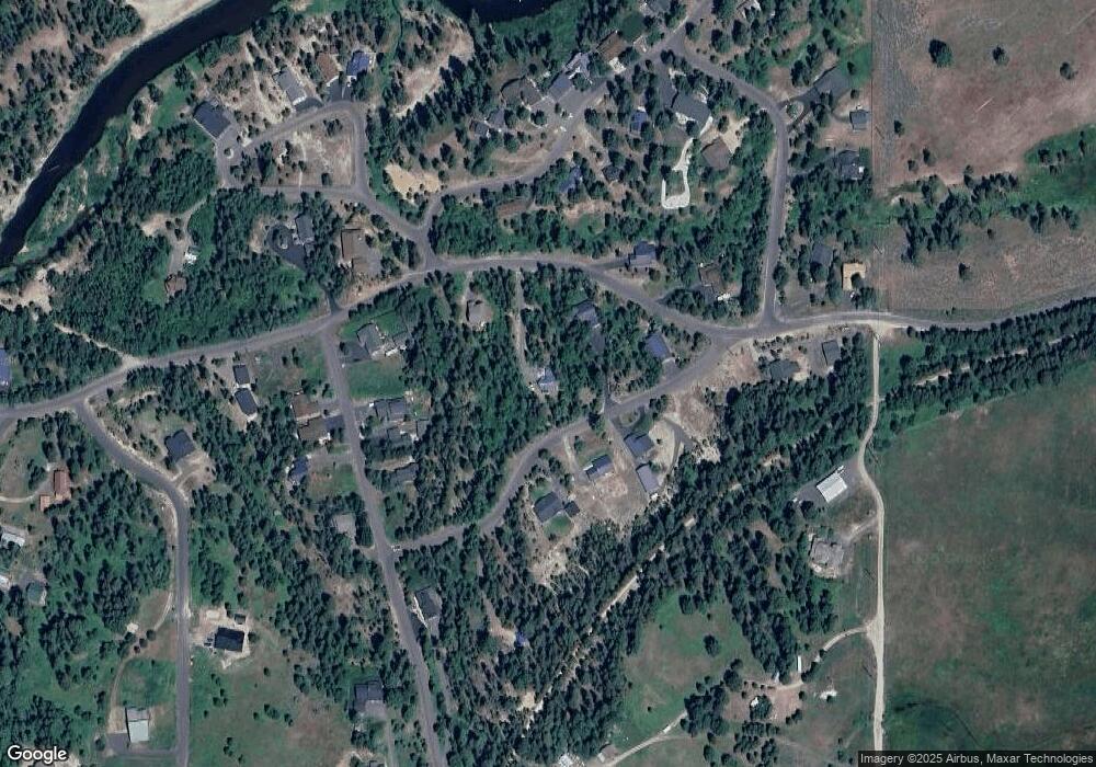
233 Moonridge Dr McCall, ID 83638
Estimated Value: $618,000 - $770,000
3
Beds
1
Bath
1,508
Sq Ft
$455/Sq Ft
Est. Value
About This Home
This home is located at 233 Moonridge Dr, McCall, ID 83638 and is currently estimated at $686,426, approximately $455 per square foot. 233 Moonridge Dr is a home with nearby schools including McCall-Donnelly High School.
Ownership History
Date
Name
Owned For
Owner Type
Purchase Details
Closed on
Jul 5, 2023
Sold by
Bowen Michael O
Bought by
Bowen Michael O
Current Estimated Value
Home Financials for this Owner
Home Financials are based on the most recent Mortgage that was taken out on this home.
Original Mortgage
$200,000
Outstanding Balance
$194,202
Interest Rate
6.57%
Mortgage Type
New Conventional
Estimated Equity
$492,224
Purchase Details
Closed on
Apr 25, 2023
Sold by
Bowen Linda M
Bought by
Bowen Michael O
Create a Home Valuation Report for This Property
The Home Valuation Report is an in-depth analysis detailing your home's value as well as a comparison with similar homes in the area
Purchase History
| Date | Buyer | Sale Price | Title Company |
|---|---|---|---|
| Bowen Michael O | -- | Amerititle | |
| Bowen Michael O | -- | None Listed On Document |
Source: Public Records
Mortgage History
| Date | Status | Borrower | Loan Amount |
|---|---|---|---|
| Open | Bowen Michael O | $200,000 |
Source: Public Records
Tax History
| Year | Tax Paid | Tax Assessment Tax Assessment Total Assessment is a certain percentage of the fair market value that is determined by local assessors to be the total taxable value of land and additions on the property. | Land | Improvement |
|---|---|---|---|---|
| 2025 | $1,093 | $566,908 | $159,702 | $407,206 |
| 2023 | $1,093 | $594,399 | $199,628 | $394,771 |
| 2022 | $1,541 | $565,291 | $178,706 | $386,585 |
| 2021 | $1,629 | $382,687 | $55,829 | $326,858 |
| 2020 | $1,433 | $283,032 | $52,979 | $230,053 |
| 2019 | $1,377 | $255,280 | $48,163 | $207,117 |
| 2018 | $976 | $261,052 | $66,663 | $194,389 |
| 2017 | $917 | $230,703 | $52,156 | $178,547 |
| 2016 | $928 | $223,121 | $37,617 | $185,504 |
| 2015 | $1,495 | $207,703 | $0 | $0 |
| 2013 | -- | $192,865 | $0 | $0 |
Source: Public Records
Map
Nearby Homes
- 269 Moon Dr Unit 78
- 38 Wood Run Trail Unit 8
- 110 Fawnlilly
- 26 Wood Run Trail Unit 5
- Lot 2 Wood Run Trail Unit 2
- 48 Fawnlilly Dr
- 48 Fawnlilly Dr Unit 29
- Lot 88 Fawnlilly Dr Unit 88
- Lot 1 Wood Run Trail Unit 1
- 287 Rawhide Loop Unit 32
- 287 Rawhide Loop
- 268 Rawhide Loop Unit 51
- 11 Owleclover Ln
- 6 Compass Ln
- 29 Fawnlilly Dr
- 15 Meadowbright Dr
- Lot 16 Compass Ln Unit 16
- 22 Compass Ln Unit 6
- 102 Johnson Ln
- 29 Compass Ln Unit 20
