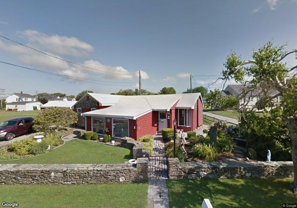
233 Morrison Ave Middletown, RI 02842
Estimated Value: $545,000 - $668,000
2
Beds
1
Bath
1,100
Sq Ft
$535/Sq Ft
Est. Value
About This Home
This home is located at 233 Morrison Ave, Middletown, RI 02842 and is currently estimated at $587,980, approximately $534 per square foot. 233 Morrison Ave is a home located in Newport County with nearby schools including Middletown High School, St Michael's Country Day School, and St George's School.
Ownership History
Date
Name
Owned For
Owner Type
Purchase Details
Closed on
Mar 31, 2021
Sold by
Rosa Nicole
Bought by
Miller Rayvon
Current Estimated Value
Home Financials for this Owner
Home Financials are based on the most recent Mortgage that was taken out on this home.
Original Mortgage
$160,000
Outstanding Balance
$143,348
Interest Rate
2.8%
Mortgage Type
Purchase Money Mortgage
Estimated Equity
$444,632
Purchase Details
Closed on
Oct 18, 1984
Bought by
Santos Francis Richard
Create a Home Valuation Report for This Property
The Home Valuation Report is an in-depth analysis detailing your home's value as well as a comparison with similar homes in the area
Home Values in the Area
Average Home Value in this Area
Purchase History
| Date | Buyer | Sale Price | Title Company |
|---|---|---|---|
| Miller Rayvon | $200,000 | None Available | |
| Santos Francis Richard | -- | -- |
Source: Public Records
Mortgage History
| Date | Status | Borrower | Loan Amount |
|---|---|---|---|
| Open | Miller Rayvon | $160,000 |
Source: Public Records
Tax History
| Year | Tax Paid | Tax Assessment Tax Assessment Total Assessment is a certain percentage of the fair market value that is determined by local assessors to be the total taxable value of land and additions on the property. | Land | Improvement |
|---|---|---|---|---|
| 2025 | $5,054 | $428,700 | $292,900 | $135,800 |
| 2024 | $4,827 | $428,700 | $292,900 | $135,800 |
| 2023 | $3,859 | $306,500 | $213,600 | $92,900 |
| 2022 | $3,684 | $306,500 | $213,600 | $92,900 |
| 2021 | $3,684 | $306,500 | $213,600 | $92,900 |
| 2020 | $3,638 | $264,400 | $164,300 | $100,100 |
| 2018 | $3,636 | $264,400 | $164,300 | $100,100 |
| 2016 | $3,630 | $235,400 | $147,100 | $88,300 |
| 2015 | $3,540 | $235,400 | $147,100 | $88,300 |
| 2014 | $3,569 | $222,100 | $133,600 | $88,500 |
| 2013 | $3,489 | $222,100 | $133,600 | $88,500 |
Source: Public Records
Map
Nearby Homes
- 10 Oceanview Dr
- 476 Green End Ave
- 55 John Clarke Rd Unit 8
- 55 John Clarke Rd Unit 3
- 55 John Clarke Rd Unit 24
- 206 Reservoir Rd
- 118 Wolcott Ave
- 403 Valley Rd
- 181 Center Ave
- 310 Corey Ln
- 57 Warren Ave
- 223 Corey Ln
- 0 Bliss Mine Rd
- 1 Ichabod Ln
- 0 Allston Ave
- 1 Shangri-La Ln
- 5 Shangri la Ln
- 129 Bliss Mine Rd
- 141 Gray Craig Rd
- 16 Ward Ave
- 230 Morrison Ave
- 220 Morrison Ave
- 211 Morrison Ave
- 207 Morrison Ave
- 209 Morrison Ave
- 535 Aquidneck Ave
- 214A Morrison Ave
- 214 Morrison Ave
- 205 Morrison Ave
- 557 Aquidneck Ave
- 563 Aquidneck Ave Unit 565
- 527 Aquidneck Ave
- 543 Aquidneck Ave Unit A
- 575 Aquidneck Ave
- 202 Morrison Ave
- 217 Morrison Ave
- 197 Morrison Ave
- 546 Aquidneck Ave
- 579 Aquidneck Ave
- 566 Aquidneck Ave
Your Personal Tour Guide
Ask me questions while you tour the home.