233 Mountain Rd Albrightsville, PA 18210
Estimated Value: $249,536 - $280,000
4
Beds
2
Baths
1,485
Sq Ft
$177/Sq Ft
Est. Value
About This Home
This home is located at 233 Mountain Rd, Albrightsville, PA 18210 and is currently estimated at $262,884, approximately $177 per square foot. 233 Mountain Rd is a home located in Carbon County with nearby schools including Jim Thorpe Area High School.
Ownership History
Date
Name
Owned For
Owner Type
Purchase Details
Closed on
Jan 22, 2008
Sold by
Aceste Frank
Bought by
Connors Michael J and Connors Heather A
Current Estimated Value
Home Financials for this Owner
Home Financials are based on the most recent Mortgage that was taken out on this home.
Original Mortgage
$98,950
Outstanding Balance
$62,394
Interest Rate
6.14%
Mortgage Type
New Conventional
Estimated Equity
$200,490
Purchase Details
Closed on
Oct 9, 2007
Sold by
Stettler Janice
Bought by
Aceste Francis
Create a Home Valuation Report for This Property
The Home Valuation Report is an in-depth analysis detailing your home's value as well as a comparison with similar homes in the area
Home Values in the Area
Average Home Value in this Area
Purchase History
| Date | Buyer | Sale Price | Title Company |
|---|---|---|---|
| Connors Michael J | $110,000 | None Available | |
| Aceste Francis | -- | None Available |
Source: Public Records
Mortgage History
| Date | Status | Borrower | Loan Amount |
|---|---|---|---|
| Open | Connors Michael J | $98,950 |
Source: Public Records
Tax History Compared to Growth
Tax History
| Year | Tax Paid | Tax Assessment Tax Assessment Total Assessment is a certain percentage of the fair market value that is determined by local assessors to be the total taxable value of land and additions on the property. | Land | Improvement |
|---|---|---|---|---|
| 2025 | $2,670 | $43,400 | $3,750 | $39,650 |
| 2024 | $2,540 | $43,400 | $3,750 | $39,650 |
| 2023 | $2,507 | $43,400 | $3,750 | $39,650 |
| 2022 | $2,507 | $43,400 | $3,750 | $39,650 |
| 2021 | $2,507 | $43,400 | $3,750 | $39,650 |
| 2020 | $2,507 | $43,400 | $3,750 | $39,650 |
| 2019 | $2,420 | $43,400 | $3,750 | $39,650 |
| 2018 | $2,420 | $43,400 | $3,750 | $39,650 |
| 2017 | $2,420 | $43,400 | $3,750 | $39,650 |
| 2016 | -- | $43,400 | $3,750 | $39,650 |
| 2015 | -- | $43,400 | $3,750 | $39,650 |
| 2014 | -- | $43,400 | $3,750 | $39,650 |
Source: Public Records
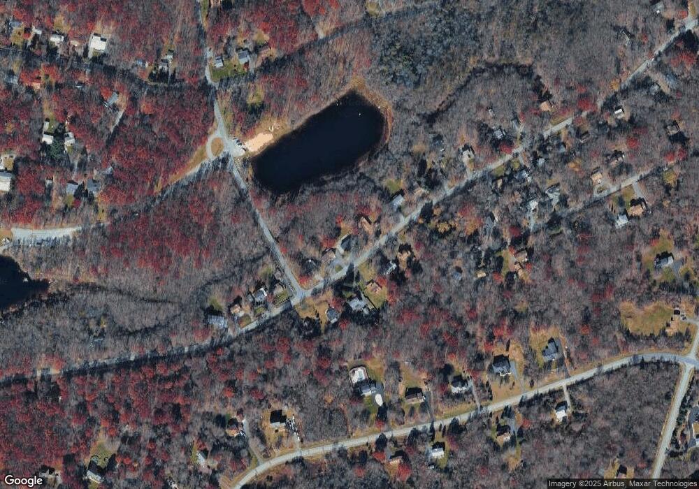
Map
Nearby Homes
- 212 Mountain Rd
- 0 Brittany Dr Unit PM-136500
- 303 Short Ridge Rd
- 14 Denise Ct
- 67 Twin Lake Rd
- 37 Highridge Rd
- 37 Highridge Rd Unit 805
- Lot 721 N Shore Dr
- 0 N Shore Dr Unit Lot 611 730487
- 1016 N Shore Dr
- 0 Spruce Ln
- 0 Spruce Ln Unit 752359
- 42 Hillcrest Dr
- 44 Sekani Trail Unit 1102
- 271 N Shore Dr
- 109 Knob Ct
- 703 Fox Hill Rd
- 407 Skyline Dr
- 429 Sekani Trail
- 123 Caddo Terrace