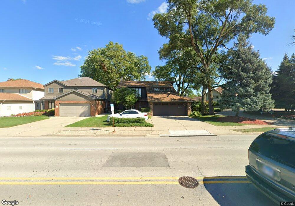
233 N Dee Rd Park Ridge, IL 60068
Estimated Value: $637,543 - $843,000
4
Beds
3
Baths
1,944
Sq Ft
$376/Sq Ft
Est. Value
About This Home
This home is located at 233 N Dee Rd, Park Ridge, IL 60068 and is currently estimated at $730,386, approximately $375 per square foot. 233 N Dee Rd is a home located in Cook County with nearby schools including George B Carpenter Elementary School, Lincoln Middle School, and Maine South High School.
Ownership History
Date
Name
Owned For
Owner Type
Purchase Details
Closed on
Aug 1, 2001
Sold by
Hoyt Patricia A
Bought by
Guerino Grank M and Guerino Nora C
Current Estimated Value
Home Financials for this Owner
Home Financials are based on the most recent Mortgage that was taken out on this home.
Original Mortgage
$364,000
Outstanding Balance
$141,580
Interest Rate
7.11%
Estimated Equity
$588,806
Purchase Details
Closed on
Jul 11, 1994
Sold by
Hoyt Robert S and Hoyt Patricia A
Bought by
Hoyt Patricia A
Create a Home Valuation Report for This Property
The Home Valuation Report is an in-depth analysis detailing your home's value as well as a comparison with similar homes in the area
Home Values in the Area
Average Home Value in this Area
Purchase History
| Date | Buyer | Sale Price | Title Company |
|---|---|---|---|
| Guerino Grank M | $455,000 | -- | |
| Hoyt Patricia A | -- | -- |
Source: Public Records
Mortgage History
| Date | Status | Borrower | Loan Amount |
|---|---|---|---|
| Open | Guerino Grank M | $364,000 |
Source: Public Records
Tax History Compared to Growth
Tax History
| Year | Tax Paid | Tax Assessment Tax Assessment Total Assessment is a certain percentage of the fair market value that is determined by local assessors to be the total taxable value of land and additions on the property. | Land | Improvement |
|---|---|---|---|---|
| 2024 | $10,864 | $43,344 | $6,270 | $37,074 |
| 2023 | $10,383 | $43,344 | $6,270 | $37,074 |
| 2022 | $10,383 | $43,344 | $6,270 | $37,074 |
| 2021 | $10,356 | $37,381 | $5,610 | $31,771 |
| 2020 | $10,012 | $37,381 | $5,610 | $31,771 |
| 2019 | $9,932 | $41,535 | $5,610 | $35,925 |
| 2018 | $10,224 | $39,164 | $4,950 | $34,214 |
| 2017 | $10,198 | $39,164 | $4,950 | $34,214 |
| 2016 | $10,061 | $39,164 | $4,950 | $34,214 |
| 2015 | $12,068 | $41,750 | $4,290 | $37,460 |
| 2014 | $11,846 | $41,750 | $4,290 | $37,460 |
| 2013 | $11,204 | $41,750 | $4,290 | $37,460 |
Source: Public Records
Map
Nearby Homes
- 20 S Dee Rd
- 60 S Dee Rd Unit G
- 300 Boardwalk Place Unit T300
- 44 Park Ln Unit 435
- 22 Park Ln Unit 203
- 2121 W Sibley St
- 408 N Seminary Ave
- 601 N Broadway Ave
- 200 Thames Pkwy Unit 1
- 2500 Archbury Ln Unit 2D
- 414 S Dee Rd Unit 13
- 500 Thames Pkwy Unit 1F
- 2300 Windsor Mall Unit 1F
- 2300 Windsor Mall Unit 2E
- 2500 Windsor Mall Unit 1J
- 1301 W Touhy Ave Unit 315
- 819 Busse Hwy
- 716 N Western Ave
- 516 Engel Blvd
- 1210 Elm St
- 241 N Dee Rd
- 245 N Dee Rd
- 230 N Redfield Ct
- 225 N Dee Rd
- 234 N Redfield Ct
- 222 N Redfield Ct
- 255 N Dee Rd
- 238 N Redfield Ct
- 230 N Dee Rd
- 244 N Redfield Ct
- 213 N Dee Rd
- 208 N Dee Rd
- 240 N Dee Rd
- 301 N Dee Rd
- 227 N Redfield Ct
- 204 N Dee Rd
- 231 N Redfield Ct
- 280 N Dee Rd
- 300 N Redfield Ct
- 235 N Redfield Ct