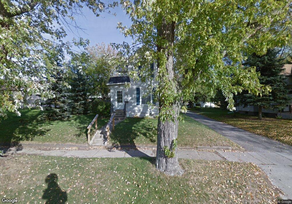
233 N Durand St Jackson, MI 49202
Wildwood NeighborhoodEstimated Value: $134,000 - $154,000
2
Beds
2
Baths
1,344
Sq Ft
$105/Sq Ft
Est. Value
About This Home
This home is located at 233 N Durand St, Jackson, MI 49202 and is currently estimated at $140,899, approximately $104 per square foot. 233 N Durand St is a home located in Jackson County with nearby schools including Hunt Elementary School, Middle School at Parkside, and Jackson High School.
Ownership History
Date
Name
Owned For
Owner Type
Purchase Details
Closed on
Apr 27, 2001
Sold by
Bonney Albert G and Bonney Suzanne L
Bought by
Maes Kyle
Current Estimated Value
Home Financials for this Owner
Home Financials are based on the most recent Mortgage that was taken out on this home.
Original Mortgage
$85,400
Outstanding Balance
$31,699
Interest Rate
6.95%
Mortgage Type
Purchase Money Mortgage
Estimated Equity
$109,200
Create a Home Valuation Report for This Property
The Home Valuation Report is an in-depth analysis detailing your home's value as well as a comparison with similar homes in the area
Home Values in the Area
Average Home Value in this Area
Purchase History
| Date | Buyer | Sale Price | Title Company |
|---|---|---|---|
| Maes Kyle | $89,900 | -- |
Source: Public Records
Mortgage History
| Date | Status | Borrower | Loan Amount |
|---|---|---|---|
| Open | Maes Kyle | $85,400 |
Source: Public Records
Tax History Compared to Growth
Tax History
| Year | Tax Paid | Tax Assessment Tax Assessment Total Assessment is a certain percentage of the fair market value that is determined by local assessors to be the total taxable value of land and additions on the property. | Land | Improvement |
|---|---|---|---|---|
| 2025 | $1,990 | $57,400 | $0 | $0 |
| 2024 | $1,648 | $50,400 | $0 | $0 |
| 2023 | $1,595 | $42,500 | $0 | $0 |
| 2022 | $1,841 | $39,400 | $0 | $0 |
| 2021 | $1,839 | $37,050 | $0 | $0 |
| 2020 | $1,683 | $34,750 | $0 | $0 |
| 2019 | $1,633 | $36,800 | $0 | $0 |
| 2018 | $1,542 | $35,050 | $0 | $0 |
| 2017 | $1,378 | $36,800 | $0 | $0 |
| 2016 | $1,118 | $33,800 | $33,800 | $0 |
| 2015 | $1,278 | $30,100 | $30,100 | $0 |
| 2014 | $1,278 | $29,150 | $29,150 | $0 |
| 2013 | -- | $29,150 | $29,150 | $0 |
Source: Public Records
Map
Nearby Homes
- 1513 Daniel Rd
- 200 N Thompson St
- 108 N Thompson St
- 916 Wildwood Ave
- 109 N Thompson St
- 1004 W Michigan Ave
- 913 W Michigan Ave
- 806 W Michigan Ave Unit 32
- 205 N West Ave
- 804 Hibbard Ave
- 113 S Webster St
- 821 N Wisner St
- 807 Winifred St
- 834 N Brown St
- 1000 W Washington Ave
- 902 W Washington Ave
- 713 Webb St
- 750 W Michigan Ave
- 612 Bush St
- 1202 W Franklin St
- 233 Grand River Cir
- 231 N Durand St
- 231 Grand River Cir
- 1317 Wildwood Ave
- 1317 Wildwood Ave Unit 1
- 229 N Durand St
- 229 Grand River Cir
- 1305 Wildwood Ave
- 227 N Durand St
- 227 Grand River Cir
- 228 N Thompson St Unit 1
- 228 Grand River Cir
- 226 N Thompson St
- 226 Grand River Cir
- 1301 Wildwood Ave
- 1318 Wildwood Ave
- 224 N Durand St
- 224 N Thompson St
- 1401 Daniel Rd
- 223 N Durand St