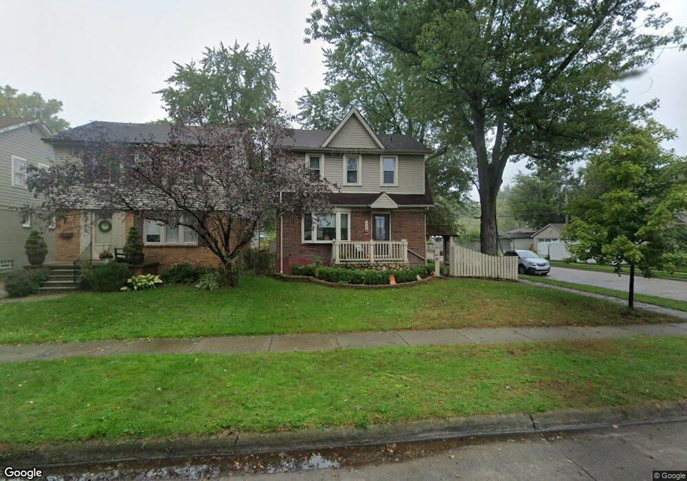
233 N Edison Ave Unit Bldg-Unit Royal Oak, MI 48067
Estimated Value: $324,000 - $470,000
3
Beds
3
Baths
1,152
Sq Ft
$323/Sq Ft
Est. Value
About This Home
This home is located at 233 N Edison Ave Unit Bldg-Unit, Royal Oak, MI 48067 and is currently estimated at $372,398, approximately $323 per square foot. 233 N Edison Ave Unit Bldg-Unit is a home located in Oakland County with nearby schools including Keller Elementary, Royal Oak Middle School, and Royal Oak High School.
Ownership History
Date
Name
Owned For
Owner Type
Purchase Details
Closed on
Feb 7, 2012
Sold by
Gemini Opportunity Llc
Bought by
Christoff Christopher P
Current Estimated Value
Purchase Details
Closed on
Sep 10, 2010
Sold by
Everhome Mortgage Company
Bought by
Federal National Mortgage Association
Purchase Details
Closed on
Aug 24, 2010
Sold by
Williams Alvin J
Bought by
Everhome Mortgage Company
Purchase Details
Closed on
Jul 27, 2000
Sold by
Felice Anthony P
Bought by
Williams Alvin J
Create a Home Valuation Report for This Property
The Home Valuation Report is an in-depth analysis detailing your home's value as well as a comparison with similar homes in the area
Home Values in the Area
Average Home Value in this Area
Purchase History
| Date | Buyer | Sale Price | Title Company |
|---|---|---|---|
| Christoff Christopher P | $165,500 | Greater Macomb Title Agency | |
| Federal National Mortgage Association | -- | None Available | |
| Everhome Mortgage Company | $176,586 | None Available | |
| Williams Alvin J | $60,000 | -- |
Source: Public Records
Mortgage History
| Date | Status | Borrower | Loan Amount |
|---|---|---|---|
| Closed | Williams Alvin J | -- |
Source: Public Records
Tax History Compared to Growth
Tax History
| Year | Tax Paid | Tax Assessment Tax Assessment Total Assessment is a certain percentage of the fair market value that is determined by local assessors to be the total taxable value of land and additions on the property. | Land | Improvement |
|---|---|---|---|---|
| 2024 | $5,084 | $135,160 | $0 | $0 |
| 2022 | $4,996 | $118,770 | $0 | $0 |
| 2020 | $4,764 | $106,470 | $0 | $0 |
| 2018 | $4,996 | $100,730 | $0 | $0 |
| 2017 | $3,385 | $100,730 | $0 | $0 |
| 2015 | -- | $93,960 | $0 | $0 |
| 2014 | -- | $91,520 | $0 | $0 |
| 2011 | -- | $73,070 | $0 | $0 |
Source: Public Records
Map
Nearby Homes
- 303 N Dorchester Ave
- 305 N Kenwood Ave
- 400 N Wilson Ave
- 306 N Kenwood Ave
- 117 N Wilson Ave
- 116 S Kenwood Ave
- 131 S Dorchester Ave
- 202 S Campbell Rd
- 622 N Wilson Ave
- 710 N Campbell Rd
- 2214 Baxter Ave
- 409 N Vermont Ave
- 627 Symes Ave
- 415 N Stephenson Hwy
- 800 N Edison Ave
- 121 N Blair Ave
- 800 N Dorchester Ave
- 812 N Edison Ave
- 302 S Vermont Ave
- 209 Helene Ave
- 233 N Edison Ave
- 229 N Edison Ave
- 301 N Edison Ave
- 223 N Edison Ave Unit Bldg-Unit
- 223 N Edison Ave
- 219 N Edison Ave
- 300 N Campbell Rd
- 232 N Edison Ave
- 1714 Taylor Ave
- 215 N Edison Ave
- 1718 Taylor Ave
- 304 N Campbell Rd
- 224 N Edison Ave
- 300 N Edison Ave
- 220 N Edison Ave
- 304 N Edison Ave
- 304 N Edison Ave
- 228 N Edison Ave
- 211 N Edison Ave
- 1724 Taylor Ave