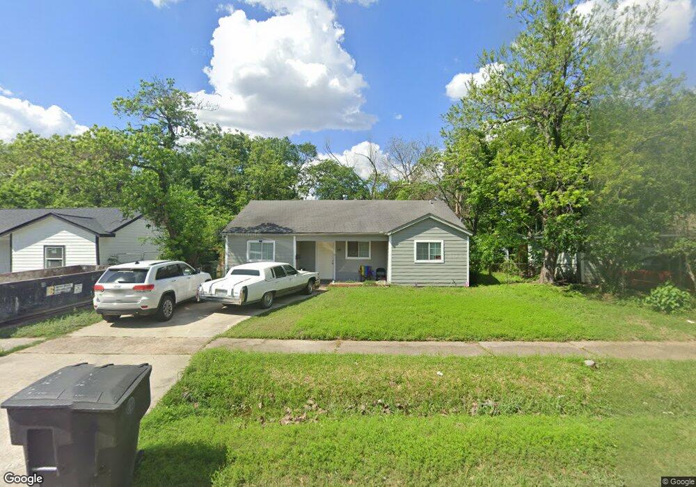
233 Norview Dr Houston, TX 77022
Independence Heights NeighborhoodEstimated Value: $180,853 - $284,000
2
Beds
1
Bath
1,153
Sq Ft
$195/Sq Ft
Est. Value
About This Home
This home is located at 233 Norview Dr, Houston, TX 77022 and is currently estimated at $225,213, approximately $195 per square foot. 233 Norview Dr is a home located in Harris County with nearby schools including Kennedy Elementary School, Williams Middle, and Booker T Washington Sr High.
Ownership History
Date
Name
Owned For
Owner Type
Purchase Details
Closed on
Jul 18, 2024
Sold by
Brehanu Abebe
Bought by
Prendergast Andonet Megan and Brehanu Sindu
Current Estimated Value
Purchase Details
Closed on
May 31, 2007
Sold by
Brehanu Martha Ann
Bought by
Brehanu Abebe
Home Financials for this Owner
Home Financials are based on the most recent Mortgage that was taken out on this home.
Original Mortgage
$10,000
Interest Rate
6.15%
Mortgage Type
Purchase Money Mortgage
Create a Home Valuation Report for This Property
The Home Valuation Report is an in-depth analysis detailing your home's value as well as a comparison with similar homes in the area
Home Values in the Area
Average Home Value in this Area
Purchase History
| Date | Buyer | Sale Price | Title Company |
|---|---|---|---|
| Prendergast Andonet Megan | -- | None Listed On Document | |
| Brehanu Abebe | -- | None Available |
Source: Public Records
Mortgage History
| Date | Status | Borrower | Loan Amount |
|---|---|---|---|
| Previous Owner | Brehanu Abebe | $10,000 |
Source: Public Records
Tax History Compared to Growth
Tax History
| Year | Tax Paid | Tax Assessment Tax Assessment Total Assessment is a certain percentage of the fair market value that is determined by local assessors to be the total taxable value of land and additions on the property. | Land | Improvement |
|---|---|---|---|---|
| 2025 | $3,349 | $159,051 | $114,368 | $44,683 |
| 2024 | $3,349 | $160,038 | $114,368 | $45,670 |
| 2023 | $3,349 | $137,663 | $91,494 | $46,169 |
| 2022 | $2,875 | $130,578 | $91,494 | $39,084 |
| 2021 | $2,902 | $124,519 | $91,494 | $33,025 |
| 2020 | $2,161 | $89,221 | $45,747 | $43,474 |
| 2019 | $2,236 | $88,383 | $45,747 | $42,636 |
| 2018 | $1,256 | $49,616 | $26,686 | $22,930 |
| 2017 | $1,255 | $49,616 | $26,686 | $22,930 |
| 2016 | $1,255 | $49,616 | $19,061 | $30,555 |
| 2015 | -- | $51,908 | $19,061 | $32,847 |
| 2014 | -- | $44,610 | $19,061 | $25,549 |
Source: Public Records
Map
Nearby Homes
- 303 Victoria Dr
- 0 Victoria Unit 54691087
- 147 Knightsbridge Park Ln
- 115 E Thornton Rd
- 219 E Janisch Rd
- 144 Knightsbridge Park Ln
- 330 Spell St
- 4605 Yale St Unit C
- 4605 Yale St Unit A
- 4605 Yale St Unit J
- 310 Walthall Dr
- 103 E Janisch Rd
- 312 Walthall Dr
- 4510 Old Yale St Unit A
- 320 Thornton Rd
- 107 W Whitney St Unit E
- 107 W Whitney St Unit C
- 4423 Yale St
- 315 E Whitney St
- 4707 Thornton Villas Ln
- 237 Norview Dr
- 229 Norview Dr
- 225 Norview Dr
- 241 Norview Dr
- 234 Norview Dr
- 230 Norview Dr
- 230 Victoria Dr
- 234 Victoria Dr
- 238 Norview Dr
- 221 Norview Dr
- 226 Norview Dr
- 245 Norview Dr
- 222 Victoria Dr
- 238 Victoria Dr
- 242 Norview Dr
- 222 Norview Dr
- 218 Victoria Dr
- 217 Norview Dr
- 249 Norview Dr
- 242 Victoria Dr