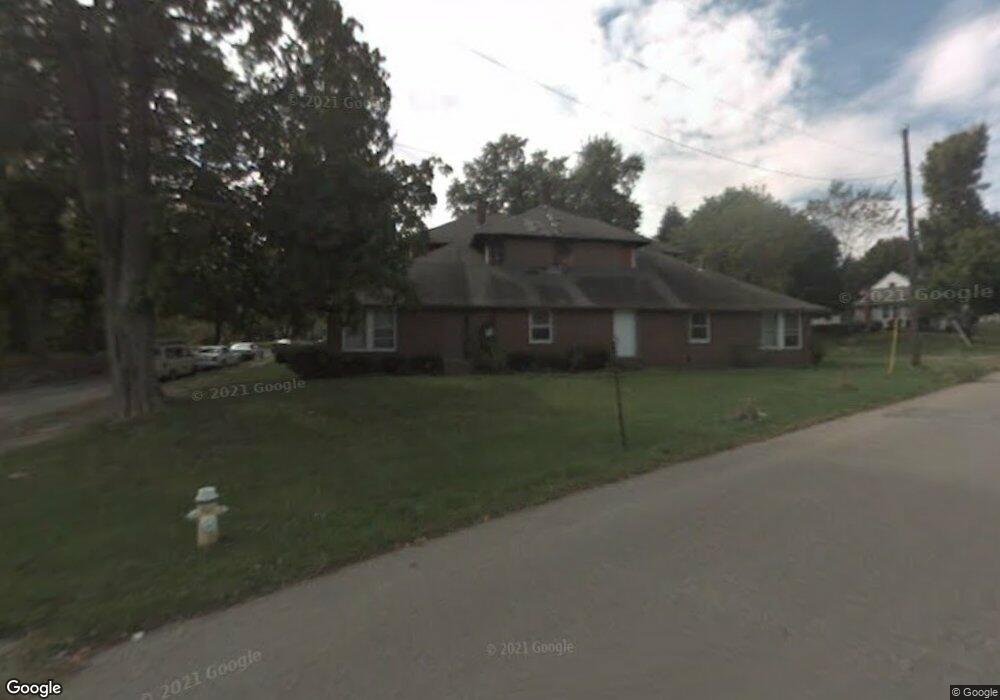
233 Park Dr Mansfield, OH 44906
Estimated Value: $59,000 - $134,000
4
Beds
2
Baths
1,668
Sq Ft
$59/Sq Ft
Est. Value
About This Home
This home is located at 233 Park Dr, Mansfield, OH 44906 and is currently estimated at $97,922, approximately $58 per square foot. 233 Park Dr is a home located in Richland County with nearby schools including Goal Digital Academy, Mansfield Elective Academy, and Interactive Media & Construction (IMAC) Academy.
Ownership History
Date
Name
Owned For
Owner Type
Purchase Details
Closed on
Nov 13, 2009
Sold by
Federal Home Loan Mortgage Corporation
Bought by
Patterson Chasity N and Patterson Cyrus
Current Estimated Value
Purchase Details
Closed on
Aug 3, 2009
Sold by
Tate Geron L and Tate Vivian P
Bought by
Federal Home Loan Mortgage Corp
Purchase Details
Closed on
Mar 1, 1985
Create a Home Valuation Report for This Property
The Home Valuation Report is an in-depth analysis detailing your home's value as well as a comparison with similar homes in the area
Home Values in the Area
Average Home Value in this Area
Purchase History
| Date | Buyer | Sale Price | Title Company |
|---|---|---|---|
| Patterson Chasity N | $5,800 | Attorney | |
| Federal Home Loan Mortgage Corp | $8,000 | None Available | |
| -- | $23,900 | -- |
Source: Public Records
Tax History
| Year | Tax Paid | Tax Assessment Tax Assessment Total Assessment is a certain percentage of the fair market value that is determined by local assessors to be the total taxable value of land and additions on the property. | Land | Improvement |
|---|---|---|---|---|
| 2025 | $634 | $13,240 | $1,760 | $11,480 |
| 2024 | $634 | $13,240 | $1,760 | $11,480 |
| 2023 | $634 | $13,240 | $1,760 | $11,480 |
| 2022 | $636 | $11,130 | $1,700 | $9,430 |
| 2021 | $640 | $11,130 | $1,700 | $9,430 |
| 2020 | $655 | $11,130 | $1,700 | $9,430 |
| 2019 | $726 | $11,130 | $1,700 | $9,430 |
| 2018 | $716 | $11,130 | $1,700 | $9,430 |
| 2017 | $788 | $11,130 | $1,700 | $9,430 |
| 2016 | $879 | $13,610 | $3,590 | $10,020 |
| 2015 | $879 | $13,610 | $3,590 | $10,020 |
| 2014 | $828 | $13,610 | $3,590 | $10,020 |
| 2012 | $635 | $13,620 | $3,780 | $9,840 |
Source: Public Records
Map
Nearby Homes
- 0 Lemley Ave Unit 9070540
- 519 Heineman Blvd
- 224 Atcheson Ave
- 509 Heineman Blvd
- 688 Mcpherson St
- 0 State Route 314 Unit 9069650
- 447 Spayer Ln
- 10 Gray Ct
- 799 Mcpherson St
- 458 W West Dickson Ave
- 453 W Dickson Ave
- 31 Parkwood Blvd
- 42 Parkwood Blvd
- 368 W 6th St
- 38 Penn Ave
- 344 W 5th St
- 71 Dawson Ave
- 572 France St
- 108 Stewart Ave S
- 116 Stewart Ave S
Your Personal Tour Guide
Ask me questions while you tour the home.