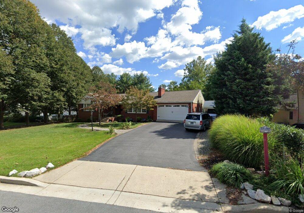
233 Patuxent Rd Laurel, MD 20707
Estimated Value: $561,000 - $692,000
Studio
3
Baths
2,210
Sq Ft
$274/Sq Ft
Est. Value
About This Home
This home is located at 233 Patuxent Rd, Laurel, MD 20707 and is currently estimated at $605,775, approximately $274 per square foot. 233 Patuxent Rd is a home located in Prince George's County with nearby schools including Scotchtown Hills Elementary School, Dwight D. Eisenhower Middle School, and Laurel High School.
Ownership History
Date
Name
Owned For
Owner Type
Purchase Details
Closed on
Dec 4, 2001
Sold by
Nazarian Kirk
Bought by
Dean Martin J O and Dean Cynthia L
Current Estimated Value
Purchase Details
Closed on
Aug 5, 1998
Sold by
Flester Katherine M & Gary A Sr Tr
Bought by
Nazarian Kirk and Nazarian Sharon L
Purchase Details
Closed on
Apr 30, 1996
Sold by
Flester Gary A
Bought by
Flester Katherine M & Gary A Sr Tr
Create a Home Valuation Report for This Property
The Home Valuation Report is an in-depth analysis detailing your home's value as well as a comparison with similar homes in the area
Home Values in the Area
Average Home Value in this Area
Purchase History
| Date | Buyer | Sale Price | Title Company |
|---|---|---|---|
| Dean Martin J O | $260,000 | -- | |
| Nazarian Kirk | $180,000 | -- | |
| Flester Katherine M & Gary A Sr Tr | -- | -- |
Source: Public Records
Tax History
| Year | Tax Paid | Tax Assessment Tax Assessment Total Assessment is a certain percentage of the fair market value that is determined by local assessors to be the total taxable value of land and additions on the property. | Land | Improvement |
|---|---|---|---|---|
| 2025 | $8,786 | $641,900 | $138,200 | $503,700 |
| 2024 | $8,786 | $591,933 | -- | -- |
| 2023 | $8,937 | $541,967 | $0 | $0 |
| 2022 | $7,499 | $492,000 | $103,200 | $388,800 |
| 2021 | $7,211 | $478,900 | $0 | $0 |
| 2020 | $7,055 | $465,800 | $0 | $0 |
| 2019 | $6,888 | $452,700 | $101,600 | $351,100 |
| 2018 | $6,488 | $418,400 | $0 | $0 |
| 2017 | $6,121 | $384,100 | $0 | $0 |
| 2016 | -- | $349,800 | $0 | $0 |
| 2015 | -- | $343,067 | $0 | $0 |
| 2014 | $5,088 | $336,333 | $0 | $0 |
Source: Public Records
Map
Nearby Homes
- 910 Montgomery St Unit A
- 1103 Montgomery St
- 9425 Fairview Ave
- 9437 Fairview Ave
- 1016 Phillip Powers Dr
- 916 Philip Powers Dr
- 1116 Westview Terrace
- 9401 Riverbrink Ct
- 501 8th St
- 8040 Sandy Spring Rd
- 505A Montgomery St
- 19 Post Office Ave Unit 203
- 903 Montrose Ave
- 15781 Haynes Rd
- 413 Talbott Ave
- 1012 Ward St
- 509 4th St
- 1000 8th St
- 1028 Ward St
- 322 Laurel Ave
Your Personal Tour Guide
Ask me questions while you tour the home.