Estimated Value: $475,000 - $497,000
4
Beds
3
Baths
2,718
Sq Ft
$178/Sq Ft
Est. Value
About This Home
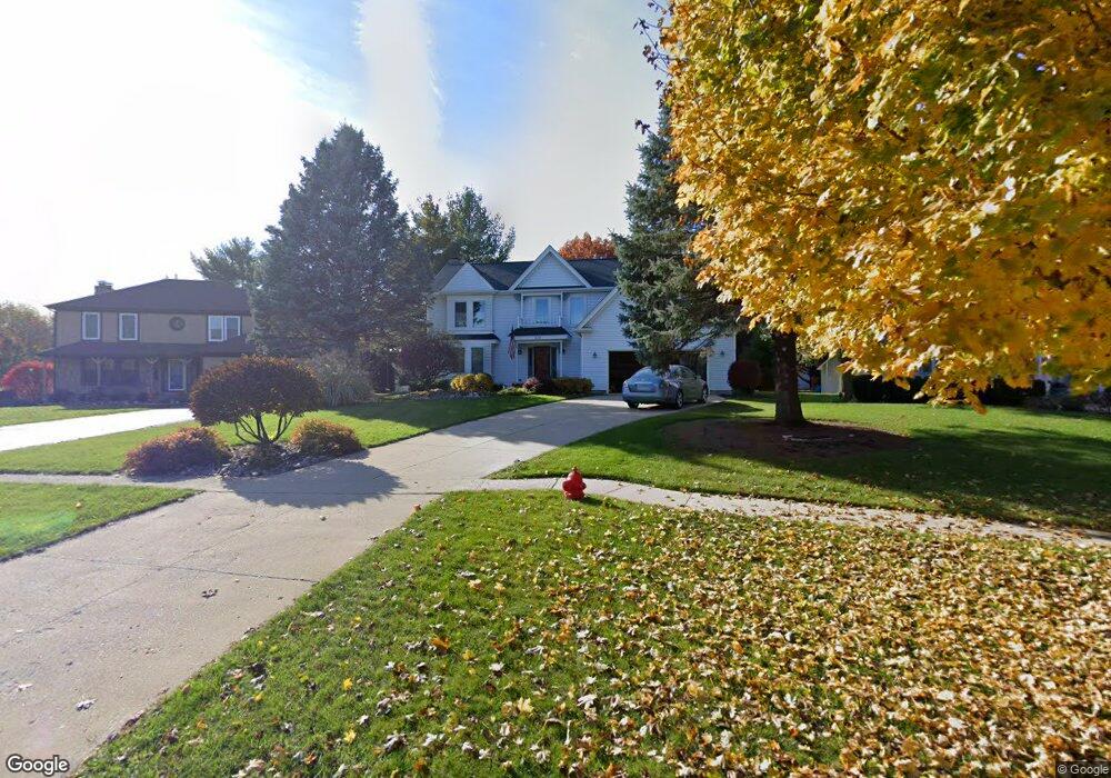
This home is located at 233 Perth Rd, Cary, IL 60013 and is currently estimated at $484,677, approximately $178 per square foot. 233 Perth Rd is a home located in McHenry County with nearby schools including Briargate Elementary School, Cary Jr High School, and Cary-Grove High School.
Ownership History
Date
Name
Owned For
Owner Type
Purchase Details
Closed on
Apr 13, 2017
Sold by
Knocke Jeri L
Bought by
Woolley Erin E
Current Estimated Value
Home Financials for this Owner
Home Financials are based on the most recent Mortgage that was taken out on this home.
Original Mortgage
$300,200
Outstanding Balance
$252,563
Interest Rate
4.62%
Mortgage Type
New Conventional
Estimated Equity
$232,114
Purchase Details
Closed on
Nov 6, 2009
Sold by
Knocke David J and Knocke Jeri L
Bought by
Knocke Jeri L and Jeri L Knocke Revocable Trust
Purchase Details
Closed on
Jan 28, 1998
Sold by
Tewksbury Allan D and Tewksbury Wendy S
Bought by
Knocke David J and Knocke Jeri L
Home Financials for this Owner
Home Financials are based on the most recent Mortgage that was taken out on this home.
Original Mortgage
$200,000
Interest Rate
7.08%
Create a Home Valuation Report for This Property
The Home Valuation Report is an in-depth analysis detailing your home's value as well as a comparison with similar homes in the area
Home Values in the Area
Average Home Value in this Area
Purchase History
| Date | Buyer | Sale Price | Title Company |
|---|---|---|---|
| Woolley Erin E | $316,000 | Heritage Title Co | |
| Knocke Jeri L | -- | None Available | |
| Knocke David J | $250,000 | Chicago Title |
Source: Public Records
Mortgage History
| Date | Status | Borrower | Loan Amount |
|---|---|---|---|
| Open | Woolley Erin E | $300,200 | |
| Previous Owner | Knocke David J | $200,000 |
Source: Public Records
Tax History
| Year | Tax Paid | Tax Assessment Tax Assessment Total Assessment is a certain percentage of the fair market value that is determined by local assessors to be the total taxable value of land and additions on the property. | Land | Improvement |
|---|---|---|---|---|
| 2024 | $11,916 | $149,499 | $25,602 | $123,897 |
| 2023 | $11,636 | $133,708 | $22,898 | $110,810 |
| 2022 | $11,139 | $124,960 | $28,292 | $96,668 |
| 2021 | $10,624 | $116,415 | $26,357 | $90,058 |
| 2020 | $10,314 | $112,294 | $25,424 | $86,870 |
| 2019 | $10,115 | $107,479 | $24,334 | $83,145 |
| 2018 | $9,545 | $99,287 | $22,479 | $76,808 |
| 2017 | $9,368 | $93,535 | $21,177 | $72,358 |
| 2016 | $9,305 | $87,727 | $19,862 | $67,865 |
| 2013 | -- | $76,772 | $18,529 | $58,243 |
Source: Public Records
Map
Nearby Homes
- 321 Cold Spring St
- 341 Cold Spring St
- 331 Cold Spring St
- 371 Cold Spring St
- 603 W Main St
- 204 Country Commons Rd
- 258 Stonegate Rd
- Lots 2,3,4 Northwest Hwy
- 582 Arthur Dr
- 542 Cary Woods Cir
- 349 Park Ave
- 330 Park Ave
- 2016 Grove Ln
- 128 E Main St
- 417 Haber Rd Unit 6
- 421 Haber Rd Unit 7
- 425 Haber Rd Unit 6
- 124 E Main St
- 316 Haber Rd Unit 34125
- 112 Pearl St
Your Personal Tour Guide
Ask me questions while you tour the home.