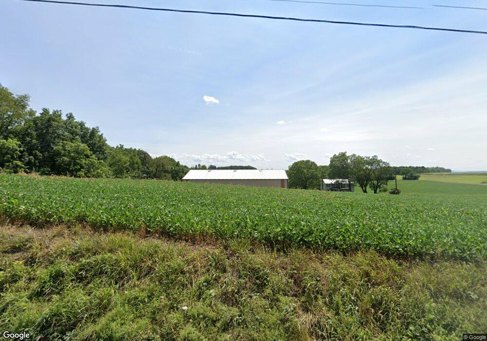
233 Phillips Rd Bloomsburg, PA 17815
Estimated Value: $288,000 - $347,707
4
Beds
--
Bath
1,840
Sq Ft
$168/Sq Ft
Est. Value
About This Home
This home is located at 233 Phillips Rd, Bloomsburg, PA 17815 and is currently estimated at $309,569, approximately $168 per square foot. 233 Phillips Rd is a home located in Columbia County with nearby schools including Millville Area Elementary School and Millville Area Junior/Senior High School.
Ownership History
Date
Name
Owned For
Owner Type
Purchase Details
Closed on
Nov 21, 2007
Sold by
Slater Carl R and Slater Roberta B
Bought by
Slater Carl R
Current Estimated Value
Home Financials for this Owner
Home Financials are based on the most recent Mortgage that was taken out on this home.
Original Mortgage
$135,000
Outstanding Balance
$85,856
Interest Rate
6.48%
Mortgage Type
Purchase Money Mortgage
Estimated Equity
$223,714
Create a Home Valuation Report for This Property
The Home Valuation Report is an in-depth analysis detailing your home's value as well as a comparison with similar homes in the area
Home Values in the Area
Average Home Value in this Area
Purchase History
| Date | Buyer | Sale Price | Title Company |
|---|---|---|---|
| Slater Carl R | -- | None Available | |
| Slater Carl R | -- | None Available |
Source: Public Records
Mortgage History
| Date | Status | Borrower | Loan Amount |
|---|---|---|---|
| Open | Slater Carl R | $135,000 | |
| Closed | Slater Carl R | $135,000 |
Source: Public Records
Tax History Compared to Growth
Tax History
| Year | Tax Paid | Tax Assessment Tax Assessment Total Assessment is a certain percentage of the fair market value that is determined by local assessors to be the total taxable value of land and additions on the property. | Land | Improvement |
|---|---|---|---|---|
| 2025 | $6,099 | $77,553 | $0 | $0 |
| 2024 | $5,878 | $77,553 | $43,159 | $34,394 |
| 2023 | $5,350 | $77,553 | $43,159 | $34,394 |
| 2022 | $3,534 | $77,553 | $43,159 | $34,394 |
| 2021 | $3,433 | $77,553 | $43,159 | $34,394 |
| 2020 | $3,313 | $77,553 | $43,159 | $34,394 |
| 2019 | $3,313 | $77,553 | $43,159 | $34,394 |
| 2018 | $3,299 | $77,553 | $43,159 | $34,394 |
| 2017 | $3,247 | $77,553 | $43,159 | $34,394 |
| 2016 | -- | $77,553 | $43,159 | $34,394 |
| 2015 | -- | $77,553 | $43,159 | $34,394 |
| 2014 | -- | $75,147 | $43,159 | $31,988 |
Source: Public Records
Map
Nearby Homes
- 13 Washingtonville Rd
- 181B Katys Church Rd
- 459-463 Danville Rd
- 60 3rd St
- 2910 Pennsylvania 42
- 259 N Chestnut St
- 163 E Main St
- 0 Maple Ridge Rd
- 93 Woodside Rd
- 516 Washingtonville Rd
- 3041 Pennsylvania 42
- 4 Eyersgrove Rd
- 53 Airport Rd
- 720 Sones Rd
- 190 Foggy Mountain Rd
- 494 Buckhorn Rd
- 941 Jerseytown Rd
- 2622 Johnson Rd
- 175 Hemlock Ln
- 0 Shingle Run Rd