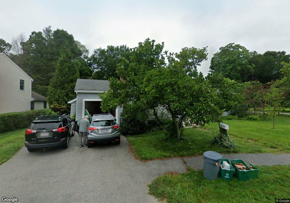
233 Prairie St Concord, MA 01742
Estimated Value: $864,000 - $1,290,000
3
Beds
2
Baths
1,368
Sq Ft
$736/Sq Ft
Est. Value
About This Home
This home is located at 233 Prairie St, Concord, MA 01742 and is currently estimated at $1,006,924, approximately $736 per square foot. 233 Prairie St is a home located in Middlesex County with nearby schools including Thoreau Elementary School, Concord Middle School, and Maynard Knowledge Beginnings.
Ownership History
Date
Name
Owned For
Owner Type
Purchase Details
Closed on
Jun 14, 1993
Sold by
York Alton H and York Beverly J
Bought by
Johnstone Malcolm D and Johnstone Jane M
Current Estimated Value
Home Financials for this Owner
Home Financials are based on the most recent Mortgage that was taken out on this home.
Original Mortgage
$150,300
Interest Rate
7.41%
Mortgage Type
Purchase Money Mortgage
Create a Home Valuation Report for This Property
The Home Valuation Report is an in-depth analysis detailing your home's value as well as a comparison with similar homes in the area
Home Values in the Area
Average Home Value in this Area
Purchase History
| Date | Buyer | Sale Price | Title Company |
|---|---|---|---|
| Johnstone Malcolm D | $167,000 | -- |
Source: Public Records
Mortgage History
| Date | Status | Borrower | Loan Amount |
|---|---|---|---|
| Open | Johnstone Malcolm D | $225,000 | |
| Closed | Johnstone Malcolm D | $150,300 | |
| Previous Owner | Johnstone Malcolm D | $63,000 |
Source: Public Records
Tax History Compared to Growth
Tax History
| Year | Tax Paid | Tax Assessment Tax Assessment Total Assessment is a certain percentage of the fair market value that is determined by local assessors to be the total taxable value of land and additions on the property. | Land | Improvement |
|---|---|---|---|---|
| 2025 | $113 | $850,800 | $543,500 | $307,300 |
| 2024 | $11,008 | $838,400 | $543,500 | $294,900 |
| 2023 | $9,879 | $762,300 | $494,000 | $268,300 |
| 2022 | $9,452 | $640,400 | $395,200 | $245,200 |
| 2021 | $8,990 | $610,700 | $395,200 | $215,500 |
| 2020 | $8,700 | $611,400 | $395,200 | $216,200 |
| 2019 | $8,498 | $598,900 | $383,700 | $215,200 |
| 2018 | $7,491 | $524,200 | $292,400 | $231,800 |
| 2017 | $6,709 | $476,800 | $271,500 | $205,300 |
| 2016 | $6,304 | $452,900 | $271,500 | $181,400 |
| 2015 | $6,300 | $440,900 | $251,400 | $189,500 |
Source: Public Records
Map
Nearby Homes
- 1687 Main St
- 70 McCallar Ln
- 27 Water St
- 37 Water St
- 102 Highland St
- 1828 Main St
- 1844 Main St Unit 1844
- 54 Maple St
- 70 Hillside Ave
- 111 Central St
- 114 Upland Rd
- 65 Summit St
- 88 Wright Rd
- 10 Wright Rd
- 80 N Branch Rd
- 12 S Meadow Ridge Unit 12
- 12 S Meadow Ridge
- 1053 Main St
- 16 Concord Greene Unit 5
- 24 Concord Greene Unit 7
- 225 Prairie St
- 247 Prairie St
- 58 Westvale Dr
- 59 Westvale Dr
- 215 Prairie St
- 241 Prairie St
- 257 Prairie St
- 50 Westvale Dr
- 206 Prairie St
- 49 Westvale Dr
- 207 Prairie St
- 258 Prairie St
- 190 Prairie St
- 267 Prairie St
- 38 Westvale Dr
- 1643 Main St Unit 10
- 1627 Main St
- 39 Westvale Dr
- 254 Prairie St
- 1641 Main St Unit 1641