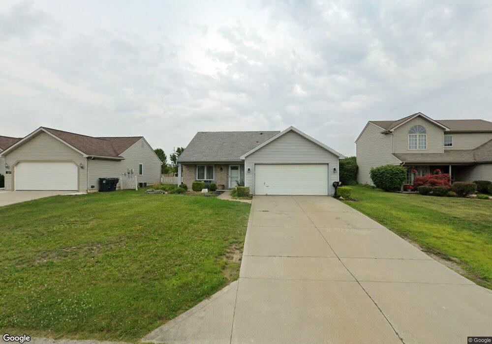
233 Rampart Dr Fort Wayne, IN 46845
Estimated Value: $231,000 - $241,000
3
Beds
2
Baths
1,192
Sq Ft
$198/Sq Ft
Est. Value
About This Home
This home is located at 233 Rampart Dr, Fort Wayne, IN 46845 and is currently estimated at $236,164, approximately $198 per square foot. 233 Rampart Dr is a home located in Allen County with nearby schools including Oak View Elementary School, Maple Creek Middle School, and Carroll High School.
Ownership History
Date
Name
Owned For
Owner Type
Purchase Details
Closed on
Sep 13, 2006
Sold by
Cooke Kristina L
Bought by
Jones Melissa K
Current Estimated Value
Home Financials for this Owner
Home Financials are based on the most recent Mortgage that was taken out on this home.
Original Mortgage
$78,400
Outstanding Balance
$46,877
Interest Rate
6.59%
Mortgage Type
Purchase Money Mortgage
Estimated Equity
$189,287
Create a Home Valuation Report for This Property
The Home Valuation Report is an in-depth analysis detailing your home's value as well as a comparison with similar homes in the area
Home Values in the Area
Average Home Value in this Area
Purchase History
| Date | Buyer | Sale Price | Title Company |
|---|---|---|---|
| Jones Melissa K | -- | Meridian Title Corporation |
Source: Public Records
Mortgage History
| Date | Status | Borrower | Loan Amount |
|---|---|---|---|
| Open | Jones Melissa K | $78,400 |
Source: Public Records
Tax History Compared to Growth
Tax History
| Year | Tax Paid | Tax Assessment Tax Assessment Total Assessment is a certain percentage of the fair market value that is determined by local assessors to be the total taxable value of land and additions on the property. | Land | Improvement |
|---|---|---|---|---|
| 2024 | $1,327 | $215,100 | $21,400 | $193,700 |
| 2022 | $1,112 | $171,000 | $21,400 | $149,600 |
| 2021 | $961 | $148,500 | $21,400 | $127,100 |
| 2020 | $964 | $144,200 | $21,400 | $122,800 |
| 2019 | $927 | $138,600 | $21,400 | $117,200 |
| 2018 | $781 | $123,100 | $21,400 | $101,700 |
| 2017 | $712 | $112,800 | $21,400 | $91,400 |
| 2016 | $706 | $110,400 | $21,400 | $89,000 |
| 2014 | $686 | $103,700 | $21,400 | $82,300 |
| 2013 | $679 | $99,700 | $21,400 | $78,300 |
Source: Public Records
Map
Nearby Homes
- 417 Rampart Dr
- 275 Forecast Cove
- 12531 Stoneboro Ct
- 516 Grantham Passage
- 12610 Tocchi Cove
- 11967 Falcatta Dr
- 11935 Falcatta Dr
- 606 Grantham Passage
- 619 Grantham Passage
- 210 Dittons Way
- 604 Merriweather Passage
- 12008 Coldwater Rd
- 813 Seamist Point
- 11688 Talis Park Way
- 928 Willowind Trail
- 394 Carrara Cove
- 708 Perolla Dr
- 851 Pentolina Dr
- 12323 Harbour Pointe
- 1320 Willowind Trail
- 303 Rampart Dr
- 227 Rampart Dr
- 311 Rampart Dr
- 221 Rampart Dr
- 222 Kittridge Ln
- 216 Kittridge Ln
- 319 Rampart Dr
- 215 Rampart Dr
- 232 Rampart Dr
- 226 Rampart Dr
- 304 Rampart Dr
- 228 Kittridge Ln
- 220 Rampart Dr
- 312 Rampart Dr
- 210 Kittridge Ln
- 327 Rampart Dr
- 336 Cantera Pass
- 328 Cantera Pass
- 209 Rampart Dr
- 320 Rampart Dr