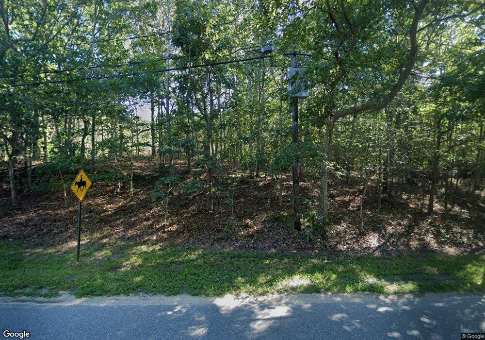
233 Red Dirt Rd East Hampton, NY 11937
Amagansett NeighborhoodEstimated Value: $1,982,000 - $3,063,000
--
Bed
--
Bath
--
Sq Ft
1.23
Acres
About This Home
This home is located at 233 Red Dirt Rd, East Hampton, NY 11937 and is currently estimated at $2,438,216. 233 Red Dirt Rd is a home located in Suffolk County with nearby schools including Amagansett School.
Ownership History
Date
Name
Owned For
Owner Type
Purchase Details
Closed on
Jul 23, 2018
Sold by
Bompey Mitchell and Almon Lorie
Bought by
Egan Carol
Current Estimated Value
Home Financials for this Owner
Home Financials are based on the most recent Mortgage that was taken out on this home.
Original Mortgage
$1,420,000
Outstanding Balance
$1,218,696
Interest Rate
4.5%
Mortgage Type
New Conventional
Estimated Equity
$1,219,521
Purchase Details
Closed on
Jan 25, 2012
Sold by
Calero Anita
Bought by
Almon Lorie and Bompey Mitchell
Home Financials for this Owner
Home Financials are based on the most recent Mortgage that was taken out on this home.
Original Mortgage
$320,000
Interest Rate
2.5%
Create a Home Valuation Report for This Property
The Home Valuation Report is an in-depth analysis detailing your home's value as well as a comparison with similar homes in the area
Home Values in the Area
Average Home Value in this Area
Purchase History
| Date | Buyer | Sale Price | Title Company |
|---|---|---|---|
| Egan Carol | $1,775,000 | -- | |
| Egan Carol | $1,775,000 | -- | |
| Almon Lorie | -- | Commonwealth Land Title Ins | |
| Almon Lorie | -- | Commonwealth Land Title Ins | |
| Almon Lorie | -- | Commonwealth Land Title Ins |
Source: Public Records
Mortgage History
| Date | Status | Borrower | Loan Amount |
|---|---|---|---|
| Open | Egan Carol | $1,420,000 | |
| Closed | Egan Carol | $1,420,000 | |
| Previous Owner | Almon Lorie | $320,000 | |
| Previous Owner | Almon Lorie | $640,000 |
Source: Public Records
Tax History Compared to Growth
Tax History
| Year | Tax Paid | Tax Assessment Tax Assessment Total Assessment is a certain percentage of the fair market value that is determined by local assessors to be the total taxable value of land and additions on the property. | Land | Improvement |
|---|---|---|---|---|
| 2024 | $5,777 | $9,810 | $1,200 | $8,610 |
| 2023 | $2,889 | $6,610 | $1,200 | $5,410 |
| 2022 | $4,602 | $6,610 | $1,200 | $5,410 |
| 2021 | $4,602 | $6,610 | $1,200 | $5,410 |
| 2020 | $5,188 | $6,610 | $1,200 | $5,410 |
| 2019 | $5,188 | $0 | $0 | $0 |
| 2018 | $4,936 | $6,610 | $1,200 | $5,410 |
| 2017 | $4,936 | $6,610 | $1,200 | $5,410 |
| 2016 | $4,823 | $6,610 | $1,200 | $5,410 |
| 2015 | -- | $6,530 | $1,200 | $5,330 |
| 2014 | -- | $6,530 | $1,200 | $5,330 |
Source: Public Records
Map
Nearby Homes
- 16 Hollyoak Ave
- 16 Parsons Close
- 787 Accabonac Rd
- 32 Neck Path
- 173 Accabonac Rd
- 127 Copeces Ln
- 33 Delavan St
- 39 Timber Trail
- 685 Springs Fireplace Rd
- 65 Sandra Rd
- 158 Woodbine Dr
- 14 Howard St
- 6 Oak Ledge La
- 31 16th St
- 14 Hillside Ln
- 3 Clinton St
- 501 Old Stone Hwy
- 158 Gardiner Ave
- 36 Harbor Blvd
- 344 Accabonac Rd
- 225 Red Dirt Rd
- 239 Red Dirt Rd
- 1 Rosemaries Ln
- 215 Red Dirt Rd
- 221 Red Dirt Rd
- 600 Accabonac Rd
- 2 Rosemaries Ln
- 3 Rosemaries Ln
- 3 Bonac Wood Ln
- 2 Bonac Ct
- 4 Rosemaries Ln
- 5 Rosemaries Ln
- 2 Maple St
- 7 Bonac Wood Ln
- 12 Bonac Ct
- 6 Rosemaries Ln
- 4 Bonac Ct
- 571 Accabonac Rd
- 7 Rosemaries Ln
- 567 Accabonac Rd
