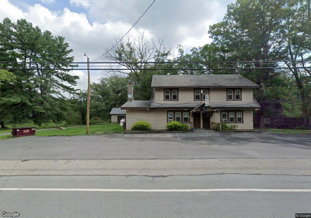
233 Route 590 Greeley, PA 18425
Estimated Value: $285,450 - $473,000
2
Beds
2
Baths
1,244
Sq Ft
$305/Sq Ft
Est. Value
About This Home
This home is located at 233 Route 590, Greeley, PA 18425 and is currently estimated at $379,225, approximately $304 per square foot. 233 Route 590 is a home located in Pike County with nearby schools including Wallenpaupack Area High School.
Ownership History
Date
Name
Owned For
Owner Type
Purchase Details
Closed on
Jun 2, 2017
Sold by
Mcloughlin Kevin and Mcloughlin Patricia
Bought by
Brenner Thomas A and Brenner Kimlorraine
Current Estimated Value
Home Financials for this Owner
Home Financials are based on the most recent Mortgage that was taken out on this home.
Original Mortgage
$110,000
Outstanding Balance
$91,372
Interest Rate
3.97%
Mortgage Type
New Conventional
Estimated Equity
$287,854
Create a Home Valuation Report for This Property
The Home Valuation Report is an in-depth analysis detailing your home's value as well as a comparison with similar homes in the area
Home Values in the Area
Average Home Value in this Area
Purchase History
| Date | Buyer | Sale Price | Title Company |
|---|---|---|---|
| Brenner Thomas A | $215,000 | None Available |
Source: Public Records
Mortgage History
| Date | Status | Borrower | Loan Amount |
|---|---|---|---|
| Open | Brenner Thomas A | $110,000 |
Source: Public Records
Tax History Compared to Growth
Tax History
| Year | Tax Paid | Tax Assessment Tax Assessment Total Assessment is a certain percentage of the fair market value that is determined by local assessors to be the total taxable value of land and additions on the property. | Land | Improvement |
|---|---|---|---|---|
| 2025 | $2,953 | $24,810 | $7,740 | $17,070 |
| 2024 | $2,953 | $24,810 | $7,740 | $17,070 |
| 2023 | $2,848 | $24,810 | $7,740 | $17,070 |
| 2022 | $2,786 | $24,810 | $7,740 | $17,070 |
| 2021 | $2,736 | $24,810 | $7,740 | $17,070 |
| 2020 | $2,736 | $24,810 | $7,740 | $17,070 |
| 2019 | $2,655 | $24,810 | $7,740 | $17,070 |
| 2018 | $2,614 | $24,810 | $7,740 | $17,070 |
| 2017 | $2,537 | $24,810 | $7,740 | $17,070 |
| 2016 | $0 | $24,810 | $7,740 | $17,070 |
| 2014 | -- | $24,810 | $7,740 | $17,070 |
Source: Public Records
Map
Nearby Homes
- 300 Pennsylvania 590
- 779 Route 434
- 0 Pennsylvania 590 Unit PWBPW232728
- 174 Neil Thompson Rd
- 148 Neil Thompson Rd
- 640 Route 434
- 529 Pennsylvania 434
- 359 German Hill Rd
- 111 Ranger Rd
- 119 Harmony Dr
- 123 Center Trail
- 182 Lcpl Jacob Beisel Rd
- 245 Lcpl Jacob Beisel Rd
- 120 Galahad Rd
- 171 Laurel Dr
- 461 Lackawaxen Rd
- 111 Delaware Dr
- 0 Well Rd
- 209 Laurel Dr
- Lot 33 Laurel Dr
- 241 Route 590
- 221 Route 590
- 235 Route 590
- 236 Route 590
- 238 Route 590
- 228 Pennsylvania 590
- 236 Pennsylvania 590
- 230 Route 590
- 222 Route 590
- 240 Route 590
- 218 Route 590
- 218 Route 590
- 207 Route 590
- 207 Pennsylvania 590
- 216 Route 590
- 100 Market Rd
- 110 Market Rd
- 106 Market Rd
- 205 Pennsylvania 590
- 205 Route 590