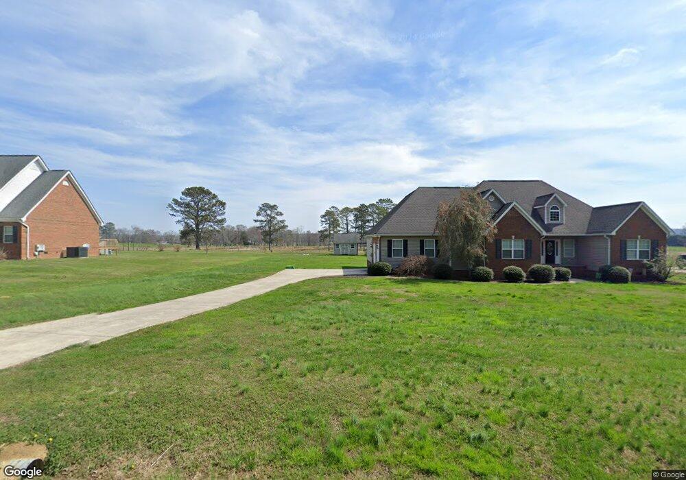
233 Roy Bird Rd Rock Spring, GA 30739
Rock Spring NeighborhoodEstimated Value: $349,384 - $448,000
Studio
2
Baths
2,102
Sq Ft
$196/Sq Ft
Est. Value
About This Home
This home is located at 233 Roy Bird Rd, Rock Spring, GA 30739 and is currently estimated at $411,096, approximately $195 per square foot. 233 Roy Bird Rd is a home located in Walker County with nearby schools including Rock Spring Elementary School and Lafayette High School.
Ownership History
Date
Name
Owned For
Owner Type
Purchase Details
Closed on
Jun 16, 2005
Sold by
Giddy Jackie S
Bought by
Shirley Kevin and Shirley Amanda
Current Estimated Value
Purchase Details
Closed on
Oct 12, 2004
Sold by
Giddy Jackie Scott Kristy M
Bought by
Giddy Jackie Scott Kristy M
Purchase Details
Closed on
Oct 27, 2003
Bought by
Giddy Jackie Scott Kristy M
Create a Home Valuation Report for This Property
The Home Valuation Report is an in-depth analysis detailing your home's value as well as a comparison with similar homes in the area
Home Values in the Area
Average Home Value in this Area
Purchase History
| Date | Buyer | Sale Price | Title Company |
|---|---|---|---|
| Shirley Kevin | $230,100 | -- | |
| Giddy Jackie Scott Kristy M | -- | -- | |
| Giddy Jackie Scott Kristy M | $80,000 | -- |
Source: Public Records
Tax History
| Year | Tax Paid | Tax Assessment Tax Assessment Total Assessment is a certain percentage of the fair market value that is determined by local assessors to be the total taxable value of land and additions on the property. | Land | Improvement |
|---|---|---|---|---|
| 2024 | $2,933 | $129,935 | $12,000 | $117,935 |
| 2023 | $2,860 | $123,854 | $12,000 | $111,854 |
| 2022 | $2,731 | $108,498 | $12,000 | $96,498 |
| 2021 | $2,536 | $90,455 | $12,000 | $78,455 |
| 2020 | $2,181 | $73,857 | $12,000 | $61,857 |
| 2019 | $2,221 | $73,857 | $12,000 | $61,857 |
| 2018 | $1,954 | $73,857 | $12,000 | $61,857 |
| 2017 | $2,422 | $73,857 | $12,000 | $61,857 |
| 2016 | $1,937 | $73,857 | $12,000 | $61,857 |
| 2015 | $1,871 | $66,853 | $8,800 | $58,053 |
| 2014 | $1,752 | $66,853 | $8,800 | $58,053 |
| 2013 | -- | $66,852 | $8,800 | $58,052 |
Source: Public Records
Map
Nearby Homes
- 00 Georgia 95
- 1902 Long Hollow Rd
- 59 Honeysuckle Dr
- 195 Honeysuckle Dr
- 36 Pheonix Cir
- 1003 Highway N Old 27
- 42 Hope Dr
- 40 Blessed Way
- 0 Bicentennial Trail Unit 7707994
- 0 Bicentennial Trail Unit 7707991
- 0 Bicentennial Trail Unit 10680206
- 0 Bicentennial Trail Unit 10687168
- 0 Bicentennial Trail Unit 10687173
- 0 Bicentennial Trail Unit 7707992
- 0 Bicentennial Trail Unit 10687176
- 0 Bicentennial Trail Unit 7707995
- 10180 Us Highway 27
- 223 Cooper Rd
- 285 Cooper Rd
- 701 Bicentennial Trail
- 261 Roy Bird Rd
- 295 Roy Bird Rd
- 337 Roy Bird Rd
- 318 Roy Bird Rd
- 355 Roy Bird Rd
- 380 Roy Bird Rd
- 72 Roy Bird Rd
- 409 Roy Bird Rd
- 442 Roy Bird Rd
- 3135 Peavine Rd
- 445 Roy Bird Rd
- 654 Kay Conley Rd
- 487 Roy Bird Rd
- 0 Roy Bird Rd
- 0 Roy Bird Rd Unit 1048872
- 0 Roy Bird Rd Unit 1246271
- 0 Roy Bird Rd Unit 1239136
- 0 Roy Bird Rd Unit 1105367
- 0 Roy Bird Rd Unit 1048868
- 0 Roy Bird Rd Unit 18420
Your Personal Tour Guide
Ask me questions while you tour the home.