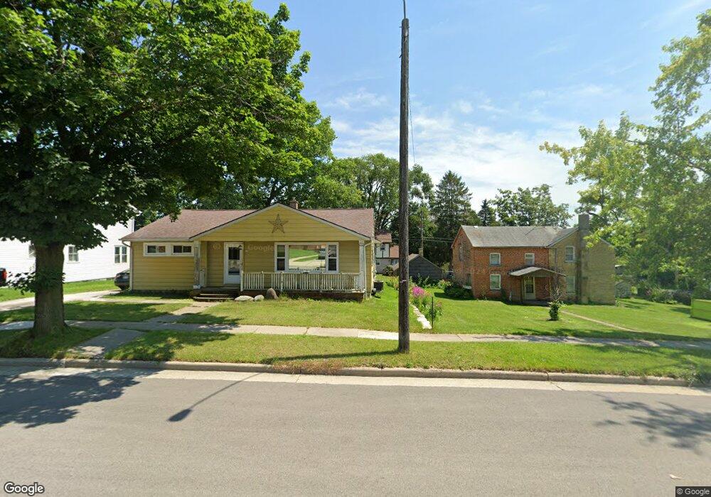
233 S Lake St Hustisford, WI 53034
Estimated Value: $241,000 - $351,000
--
Bed
--
Bath
--
Sq Ft
10,803
Sq Ft Lot
About This Home
This home is located at 233 S Lake St, Hustisford, WI 53034 and is currently estimated at $284,496. 233 S Lake St is a home with nearby schools including John Hustis Elementary School, Hustisford High School, and Bethany Lutheran School.
Ownership History
Date
Name
Owned For
Owner Type
Purchase Details
Closed on
Sep 20, 2019
Sold by
Smith Raymond W
Bought by
Smith Carole A and Smith Pamela R
Current Estimated Value
Purchase Details
Closed on
Jul 25, 2019
Sold by
Smith Raymond W and Smith Carole A
Bought by
Smith Raymond W and Smith Carole A
Purchase Details
Closed on
Oct 3, 2013
Sold by
Smith Pamela R
Bought by
Smith Raymond W and Smith Carole A
Purchase Details
Closed on
Sep 11, 2013
Sold by
Smith Carol A
Bought by
Smith Pamela R
Purchase Details
Closed on
May 10, 2013
Sold by
Smith Raymond W
Bought by
Smith Carole A
Create a Home Valuation Report for This Property
The Home Valuation Report is an in-depth analysis detailing your home's value as well as a comparison with similar homes in the area
Home Values in the Area
Average Home Value in this Area
Purchase History
| Date | Buyer | Sale Price | Title Company |
|---|---|---|---|
| Smith Carole A | -- | None Available | |
| Smith Raymond W | -- | None Available | |
| Smith Raymond W | -- | None Available | |
| Smith Pamela R | -- | None Available | |
| Smith Carole A | -- | None Available |
Source: Public Records
Tax History Compared to Growth
Tax History
| Year | Tax Paid | Tax Assessment Tax Assessment Total Assessment is a certain percentage of the fair market value that is determined by local assessors to be the total taxable value of land and additions on the property. | Land | Improvement |
|---|---|---|---|---|
| 2024 | $3,423 | $277,500 | $34,300 | $243,200 |
| 2023 | $3,236 | $146,000 | $25,400 | $120,600 |
| 2022 | $3,549 | $146,000 | $25,400 | $120,600 |
| 2021 | $3,621 | $146,000 | $25,400 | $120,600 |
| 2020 | $3,740 | $146,000 | $25,400 | $120,600 |
| 2019 | $3,567 | $146,000 | $25,400 | $120,600 |
| 2018 | $3,327 | $146,000 | $25,400 | $120,600 |
| 2017 | $3,402 | $146,000 | $25,400 | $120,600 |
| 2016 | $3,545 | $146,000 | $25,400 | $120,600 |
| 2015 | $3,546 | $146,000 | $25,400 | $120,600 |
| 2014 | $3,638 | $146,000 | $25,400 | $120,600 |
Source: Public Records
Map
Nearby Homes
- 244 S Ridge St
- .68 Acre Parcel Anthony Island
- 252 S Hustis St
- 441 Sandy Ln
- 727 E Lakeview Rd Unit 8
- N4510 & N4504 Anthony Island
- N4510 Anthony Island -
- W4436 E Lakeview Rd
- 827 E Lakeview Rd
- N4569 Hazelwood Rd
- N4557 Lakeview Rd
- N4554 Lakeview Rd
- N4973 Lake Dr
- Lt38 Sinissippi Point Rd
- N5025 Arrowhead Ct
- N4550 County Road Dj
- N3220 Hale Rd
- W2824 Fox Rd
- 000 Lt0 Sleepy Hollow Rd
- N5413 County Rd S