Estimated Value: $263,000 - $338,879
3
Beds
2
Baths
1,296
Sq Ft
$230/Sq Ft
Est. Value
About This Home
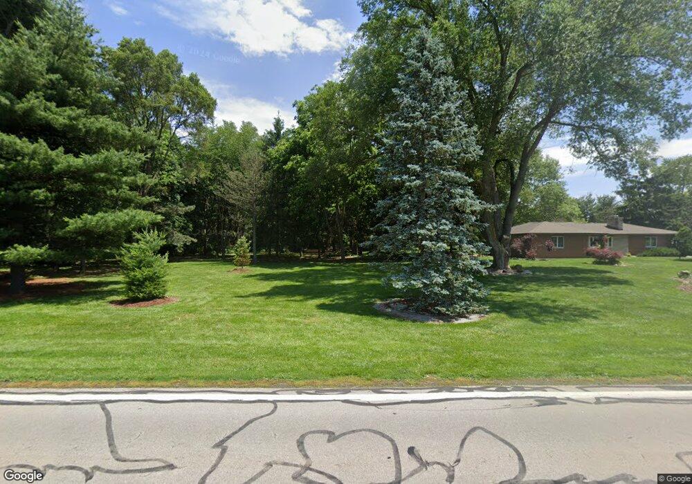
This home is located at 233 S State Route 202, Troy, OH 45373 and is currently estimated at $297,470, approximately $229 per square foot. 233 S State Route 202 is a home located in Miami County with nearby schools including Miami East Elementary School, Miami East Junior High School, and Miami East High School.
Ownership History
Date
Name
Owned For
Owner Type
Purchase Details
Closed on
Feb 15, 2006
Sold by
Bereczky Kimberly L and Bereczky Kemberly L
Bought by
Kennell Lee R
Current Estimated Value
Purchase Details
Closed on
Oct 18, 2002
Sold by
Manwaring Jon C
Bought by
Bereczky Kimberly L and Kennell Lee R
Home Financials for this Owner
Home Financials are based on the most recent Mortgage that was taken out on this home.
Original Mortgage
$98,800
Interest Rate
6.24%
Mortgage Type
New Conventional
Purchase Details
Closed on
May 23, 1990
Bought by
Manwaring Jon C
Create a Home Valuation Report for This Property
The Home Valuation Report is an in-depth analysis detailing your home's value as well as a comparison with similar homes in the area
Home Values in the Area
Average Home Value in this Area
Purchase History
| Date | Buyer | Sale Price | Title Company |
|---|---|---|---|
| Kennell Lee R | -- | -- | |
| Bereczky Kimberly L | $123,500 | -- | |
| Manwaring Jon C | $30,000 | -- |
Source: Public Records
Mortgage History
| Date | Status | Borrower | Loan Amount |
|---|---|---|---|
| Previous Owner | Bereczky Kimberly L | $98,800 |
Source: Public Records
Tax History Compared to Growth
Tax History
| Year | Tax Paid | Tax Assessment Tax Assessment Total Assessment is a certain percentage of the fair market value that is determined by local assessors to be the total taxable value of land and additions on the property. | Land | Improvement |
|---|---|---|---|---|
| 2024 | $3,067 | $88,410 | $46,970 | $41,440 |
| 2023 | $3,067 | $88,410 | $46,970 | $41,440 |
| 2022 | $3,149 | $88,410 | $46,970 | $41,440 |
| 2021 | $2,595 | $68,010 | $36,120 | $31,890 |
| 2020 | $2,608 | $68,010 | $36,120 | $31,890 |
| 2019 | $2,649 | $68,010 | $36,120 | $31,890 |
| 2018 | $2,132 | $53,690 | $22,050 | $31,640 |
| 2017 | $2,111 | $53,690 | $22,050 | $31,640 |
| 2016 | $1,986 | $53,690 | $22,050 | $31,640 |
| 2015 | $2,023 | $51,630 | $21,210 | $30,420 |
| 2014 | $2,023 | $51,630 | $21,210 | $30,420 |
| 2013 | $2,034 | $51,630 | $21,210 | $30,420 |
Source: Public Records
Map
Nearby Homes
- 1947 Woodcliffe Dr
- 429 Forrest Ln
- 2386 Lefevre Rd
- 1002 Stonyridge Ave
- 1102 E Franklin St
- 1125 Scott St
- 230 Floral Ave
- 605 Ohio Ave
- 1075 Crestview Dr
- 1124 Race Dr
- 804 Scott St
- 731 Michigan Ave
- 1329 Lee Rd
- 316 E Franklin St
- 708 N Market St
- 1760 Hunters Ridge Dr
- 1500 Paradise Trail
- 118 S Walnut St
- 318 S Mulberry St
- 190 Robin Hood Ln
- 203 S State Route 202
- 175 S State Route 202
- 141 S State Route 202
- 202 Sr
- 121 S State Route 202
- 121 Ohio 202
- 130 S State Route 202
- 105 S State Route 202
- 95 S State Route 202
- 81 S State Route 202
- 59 S State Route 202
- 755 Larkspur
- 750 Larkspur
- 744 Heatherstone
- 757 Larkspur Dr
- 656 Foxtail Ct
- 745 Heatherstone Dr
- 2207 Larkspur Dr
- 230123 Main St
- 181088 Main St