233 S State St Westerville, OH 43081
Estimated Value: $4,892,405
--
Bed
--
Bath
23,995
Sq Ft
$204/Sq Ft
Est. Value
About This Home
This home is located at 233 S State St, Westerville, OH 43081 and is currently estimated at $4,892,405, approximately $203 per square foot. 233 S State St is a home located in Franklin County with nearby schools including Whittier Elementary School, Blendon Middle School, and Westerville South High School.
Ownership History
Date
Name
Owned For
Owner Type
Purchase Details
Closed on
Aug 19, 2014
Sold by
Church Foundation Of The Episcopal Dioce
Bought by
Cornerstone Community Church
Current Estimated Value
Home Financials for this Owner
Home Financials are based on the most recent Mortgage that was taken out on this home.
Original Mortgage
$1,635,978
Outstanding Balance
$1,246,963
Interest Rate
4.1%
Mortgage Type
Future Advance Clause Open End Mortgage
Estimated Equity
$3,645,442
Purchase Details
Closed on
Aug 17, 2014
Sold by
Saint Matthews Episcopal Church
Bought by
Church Foundation Of The Episcolpal Dioc
Home Financials for this Owner
Home Financials are based on the most recent Mortgage that was taken out on this home.
Original Mortgage
$1,635,978
Outstanding Balance
$1,246,963
Interest Rate
4.1%
Mortgage Type
Future Advance Clause Open End Mortgage
Estimated Equity
$3,645,442
Purchase Details
Closed on
Sep 7, 1982
Bought by
St Matthews Episcopal
Create a Home Valuation Report for This Property
The Home Valuation Report is an in-depth analysis detailing your home's value as well as a comparison with similar homes in the area
Home Values in the Area
Average Home Value in this Area
Purchase History
| Date | Buyer | Sale Price | Title Company |
|---|---|---|---|
| Cornerstone Community Church | $2,035,400 | None Available | |
| Church Foundation Of The Episcolpal Dioc | -- | None Available | |
| St Matthews Episcopal | -- | -- |
Source: Public Records
Mortgage History
| Date | Status | Borrower | Loan Amount |
|---|---|---|---|
| Open | Cornerstone Community Church | $1,635,978 |
Source: Public Records
Tax History Compared to Growth
Tax History
| Year | Tax Paid | Tax Assessment Tax Assessment Total Assessment is a certain percentage of the fair market value that is determined by local assessors to be the total taxable value of land and additions on the property. | Land | Improvement |
|---|---|---|---|---|
| 2024 | -- | $1,116,890 | $369,600 | $747,290 |
| 2023 | $0 | $1,116,885 | $369,600 | $747,285 |
| 2022 | $0 | $1,086,750 | $371,910 | $714,840 |
| 2021 | $0 | $1,086,750 | $371,910 | $714,840 |
| 2020 | $0 | $1,086,750 | $371,910 | $714,840 |
| 2019 | $44,642 | $945,000 | $323,400 | $621,600 |
| 2018 | $44,642 | $945,000 | $323,400 | $621,600 |
| 2017 | $0 | $945,000 | $323,400 | $621,600 |
| 2016 | $91,944 | $910,000 | $323,400 | $586,600 |
| 2015 | $89,285 | $910,000 | $323,400 | $586,600 |
| 2014 | -- | $910,000 | $323,400 | $586,600 |
| 2013 | -- | $910,000 | $323,400 | $586,600 |
Source: Public Records
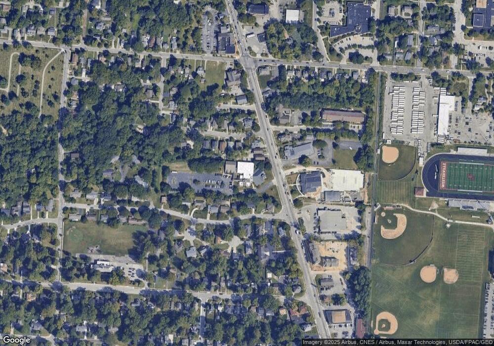
Map
Nearby Homes
- 79 W Park St
- 53 W College Ave
- 247 Foxtrail Place
- 466 S State St
- 470 S State St
- 199 E College Ave
- 502 Foxtrail Cir E Unit 502
- 476 S State St
- 131 Cherrington Rd
- 92 N Vine St
- 160 N State St
- 417 E Park St
- 175 N State St
- 364 E College Ave
- 546 Allview Ct
- 0 Cherrington Rd Unit 225023909
- 66 Daleview Dr
- 465 W Schrock Rd
- 25 King Arthur Blvd
- 85 Daleview Dr
- 221 S State St Unit 223
- 217 S State St Unit 219
- 19 Glenwood Dr Unit 21
- 25 Glenwood Dr
- 215 S State St
- 24 Bishop Dr
- 29-31 Glenwood Dr
- 32 Bishop Dr
- 255 S State St
- 35 Glenwood Dr
- 38 Bishop Dr
- 46 Bishop Dr
- 201 S State St
- 212 S State St
- 18 Glenwood Dr
- 212 N State St
- 271 Merriss Ct
- 39 Glenwood Dr
- 0 Glenwood Dr
- 24 Glenwood Dr