233 Smith Rd Woodstock, CT 06281
Estimated Value: $490,000 - $591,000
5
Beds
4
Baths
2,468
Sq Ft
$222/Sq Ft
Est. Value
About This Home
This home is located at 233 Smith Rd, Woodstock, CT 06281 and is currently estimated at $546,704, approximately $221 per square foot. 233 Smith Rd is a home located in Windham County with nearby schools including Woodstock Elementary School and Woodstock Middle School.
Ownership History
Date
Name
Owned For
Owner Type
Purchase Details
Closed on
Sep 14, 1998
Sold by
Glennon Lillian A
Bought by
Pillo John C and Pillo Jean H
Current Estimated Value
Home Financials for this Owner
Home Financials are based on the most recent Mortgage that was taken out on this home.
Original Mortgage
$148,500
Interest Rate
6.92%
Mortgage Type
Purchase Money Mortgage
Create a Home Valuation Report for This Property
The Home Valuation Report is an in-depth analysis detailing your home's value as well as a comparison with similar homes in the area
Home Values in the Area
Average Home Value in this Area
Purchase History
| Date | Buyer | Sale Price | Title Company |
|---|---|---|---|
| Pillo John C | $165,000 | -- |
Source: Public Records
Mortgage History
| Date | Status | Borrower | Loan Amount |
|---|---|---|---|
| Open | Pillo John C | $120,000 | |
| Closed | Pillo John C | $135,800 | |
| Closed | Pillo John C | $163,750 | |
| Closed | Pillo John C | $148,500 |
Source: Public Records
Tax History Compared to Growth
Tax History
| Year | Tax Paid | Tax Assessment Tax Assessment Total Assessment is a certain percentage of the fair market value that is determined by local assessors to be the total taxable value of land and additions on the property. | Land | Improvement |
|---|---|---|---|---|
| 2025 | $6,523 | $267,210 | $43,510 | $223,700 |
| 2024 | $6,157 | $267,210 | $43,510 | $223,700 |
| 2023 | $5,627 | $251,110 | $43,510 | $207,600 |
| 2022 | $5,236 | $251,110 | $43,510 | $207,600 |
| 2021 | $5,514 | $216,230 | $42,430 | $173,800 |
| 2020 | $4,683 | $191,130 | $42,430 | $148,700 |
| 2019 | $4,683 | $191,130 | $42,430 | $148,700 |
| 2018 | $4,683 | $191,130 | $42,430 | $148,700 |
| 2017 | $4,644 | $191,130 | $42,430 | $148,700 |
| 2016 | $4,210 | $175,130 | $49,230 | $125,900 |
| 2015 | $4,091 | $175,130 | $49,230 | $125,900 |
| 2014 | $4,046 | $175,130 | $49,230 | $125,900 |
Source: Public Records
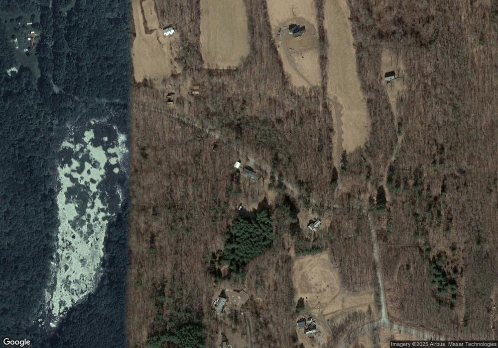
Map
Nearby Homes
- 0 Connecticut 171
- 145 Perrin Rd
- 00 Route 171 Unit Lot 1
- 402 Perrin Rd
- 4 Perrin Rd
- 80 Bungay Hill Rd
- 211 New Sweden Rd
- 30 Lyon Rd
- 0 Aplin Hill Ln
- 134 New Sweden Rd
- 0 Hemlock Dr
- 70 Laurel Hill Dr
- 56 Laurel Hill Dr
- 175 Pulpit Rock Rd
- 23 Little Bungee Hill Rd
- 10 Laurel Hill Dr
- 60 Indian Spring Rd
- 19 Hiawatha Heights
- 104 Pulpit Rock Rd
- 33 Bassett Hill Rd
- 251 Smith Rd
- 204 Smith Rd
- 327 Rocky Hill Rd
- 321 Rocky Hill Rd
- 260 Smith Rd
- 329 Rocky Hill Rd
- 331 Rocky Hill Rd
- 170 Smith Rd
- 165 Smith Rd
- 339 Rocky Hill Rd
- 265 Rocky Hill Rd
- 273 Rocky Hill Rd
- 353 Rocky Hill Rd
- 245 Rocky Hill Rd
- 146 Smith Rd
- 231 Rocky Hill Rd
- 235 Rocky Hill Rd
- 401 Rocky Hill Rd
- 105 Smith Rd
- 0 Ojala Rd Unit E228868