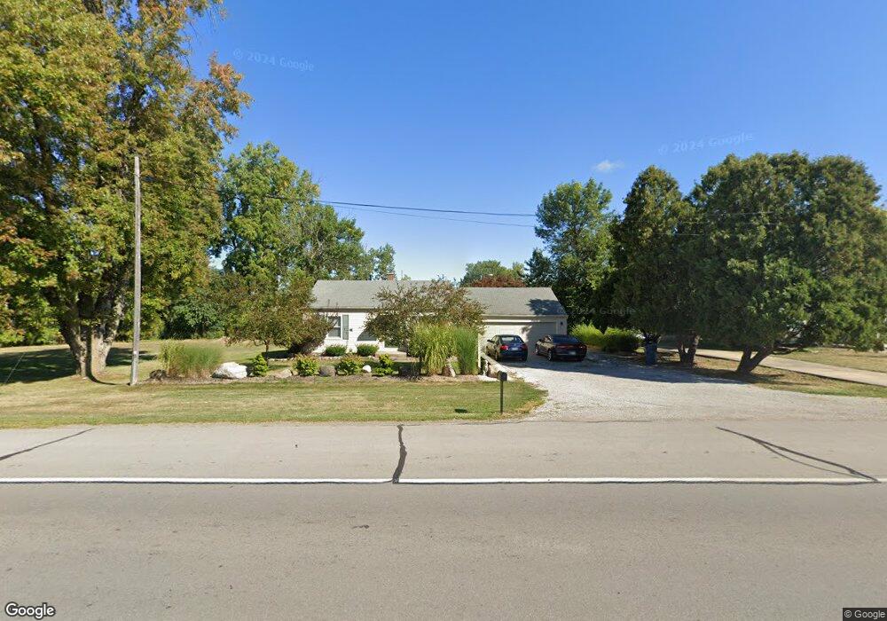
233 State Road 930 E New Haven, IN 46774
Estimated Value: $122,000 - $138,000
2
Beds
1
Bath
720
Sq Ft
$180/Sq Ft
Est. Value
About This Home
This home is located at 233 State Road 930 E, New Haven, IN 46774 and is currently estimated at $129,652, approximately $180 per square foot. 233 State Road 930 E is a home located in Allen County with nearby schools including New Haven Primary School, New Haven Intermediate School, and New Haven High School.
Create a Home Valuation Report for This Property
The Home Valuation Report is an in-depth analysis detailing your home's value as well as a comparison with similar homes in the area
Home Values in the Area
Average Home Value in this Area
Tax History Compared to Growth
Tax History
| Year | Tax Paid | Tax Assessment Tax Assessment Total Assessment is a certain percentage of the fair market value that is determined by local assessors to be the total taxable value of land and additions on the property. | Land | Improvement |
|---|---|---|---|---|
| 2024 | $647 | $90,900 | $25,600 | $65,300 |
| 2022 | $481 | $81,700 | $25,600 | $56,100 |
| 2021 | $446 | $76,800 | $25,600 | $51,200 |
| 2020 | $390 | $71,500 | $25,600 | $45,900 |
| 2019 | $379 | $67,300 | $25,600 | $41,700 |
| 2018 | $349 | $60,500 | $25,600 | $34,900 |
| 2017 | $358 | $60,100 | $25,600 | $34,500 |
| 2016 | $360 | $60,600 | $25,600 | $35,000 |
| 2014 | $326 | $58,400 | $25,600 | $32,800 |
| 2013 | $323 | $57,500 | $25,600 | $31,900 |
Source: Public Records
Map
Nearby Homes
- 510 South St
- 527 South St
- 9224 Havenway Dr
- 802 Main St
- 134 Bade St
- 344 Rose Ave
- 2427 Valley Creek Run
- 2512 Valley Creek Run
- 640 Brandford Ct
- 1186 Braeburn Dr
- 579 Courtney Dr
- 1045 Summit St
- 732 Brookdale Dr
- 1330 Baywood Dr
- 1135 Summit St
- 1424 Melbourne Dr
- 1443 Bedford Dr
- 1219 Lawn Ave
- 310 Moeller Rd
- 895 Chamberlin Ct
- 738 Sturm St
- 738 Sturm Ave
- 302 State Road 930 E
- 230 State Road 930 E
- 226 State Road 930 E
- 725 Sturm St
- 220 Indiana 930
- 324 State Road 930 E
- 220 State Road 930 E
- 220 Lincoln Hwy E
- 306 Lincoln Hwy E
- 701 Sturm St
- 214 Lincoln Hwy E
- 342 State Road 930 E
- 921 Sturm St
- 922 Cottonwood Dr
- 210 Lincoln Hwy E
- 925 Cottonwood Dr
- 100 Indiana 930
- 920 Cottonwood Dr