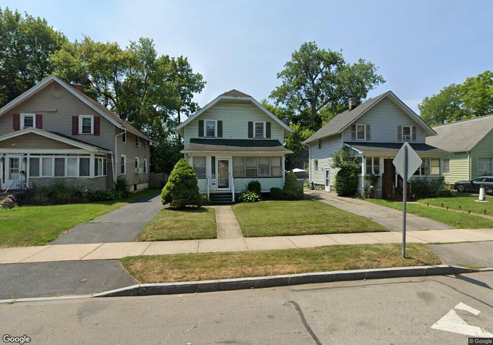
233 Westfield St Rochester, NY 14619
19th Ward NeighborhoodEstimated Value: $154,000 - $192,000
2
Beds
1
Bath
1,119
Sq Ft
$148/Sq Ft
Est. Value
About This Home
This home is located at 233 Westfield St, Rochester, NY 14619 and is currently estimated at $166,146, approximately $148 per square foot. 233 Westfield St is a home located in Monroe County with nearby schools including John Walton Spencer School No. 16, Adlai E. Stevenson School 29, and George Mather Forbes School No. 4.
Ownership History
Date
Name
Owned For
Owner Type
Purchase Details
Closed on
Sep 5, 2006
Sold by
Alexander Gregory J
Bought by
Jackson Leroy A
Current Estimated Value
Home Financials for this Owner
Home Financials are based on the most recent Mortgage that was taken out on this home.
Original Mortgage
$61,800
Outstanding Balance
$37,355
Interest Rate
6.79%
Mortgage Type
VA
Estimated Equity
$128,791
Create a Home Valuation Report for This Property
The Home Valuation Report is an in-depth analysis detailing your home's value as well as a comparison with similar homes in the area
Home Values in the Area
Average Home Value in this Area
Purchase History
| Date | Buyer | Sale Price | Title Company |
|---|---|---|---|
| Jackson Leroy A | $60,500 | -- |
Source: Public Records
Mortgage History
| Date | Status | Borrower | Loan Amount |
|---|---|---|---|
| Open | Jackson Leroy A | $61,800 |
Source: Public Records
Tax History Compared to Growth
Tax History
| Year | Tax Paid | Tax Assessment Tax Assessment Total Assessment is a certain percentage of the fair market value that is determined by local assessors to be the total taxable value of land and additions on the property. | Land | Improvement |
|---|---|---|---|---|
| 2024 | $829 | $105,800 | $10,600 | $95,200 |
| 2023 | $670 | $64,800 | $5,900 | $58,900 |
| 2022 | $691 | $64,800 | $5,900 | $58,900 |
| 2021 | $689 | $64,800 | $5,900 | $58,900 |
| 2020 | $721 | $64,800 | $5,900 | $58,900 |
| 2019 | $773 | $60,500 | $5,900 | $54,600 |
| 2018 | $772 | $60,500 | $5,900 | $54,600 |
| 2017 | $0 | $60,500 | $5,900 | $54,600 |
| 2016 | $773 | $60,500 | $5,900 | $54,600 |
| 2015 | $1,406 | $60,500 | $5,900 | $54,600 |
| 2014 | $1,406 | $60,500 | $5,900 | $54,600 |
Source: Public Records
Map
Nearby Homes
- 294 Penhurst St
- 99 Westfield St
- 974 Arnett Blvd
- 152 Inglewood Dr
- 96 Hillendale St
- 51 Penhurst St
- 101 Roxborough Rd
- 29-33 Westgate Terrace
- 127 Devonshire Ct
- 741 Genesee Park Blvd Unit 743
- 19 Hillendale St Unit 21
- 111 Enterprise St Unit 113
- 107 Enterprise St
- 66 Briggs St
- 56 Chili Terrace
- 119-121 Thurston Rd
- 215 Lincoln Ave
- 91-97 Thurston Rd
- 79 Dunbar St
- 132-134 Salina St
- 227 Westfield St
- 239 Westfield St
- 221 Westfield St
- 243 Westfield St
- 217 Westfield St
- 249 Westfield St
- 303 Penhurst St
- 211 Westfield St
- 255 Westfield St
- 299 Penhurst St
- 240 Westfield St
- 246 Westfield St
- 259 Westfield St
- 207 Westfield St
- 293 Penhurst St
- 252 Westfield St
- 304 Penhurst St
- 201 Westfield St
- 265 Westfield St
- 258 Westfield St