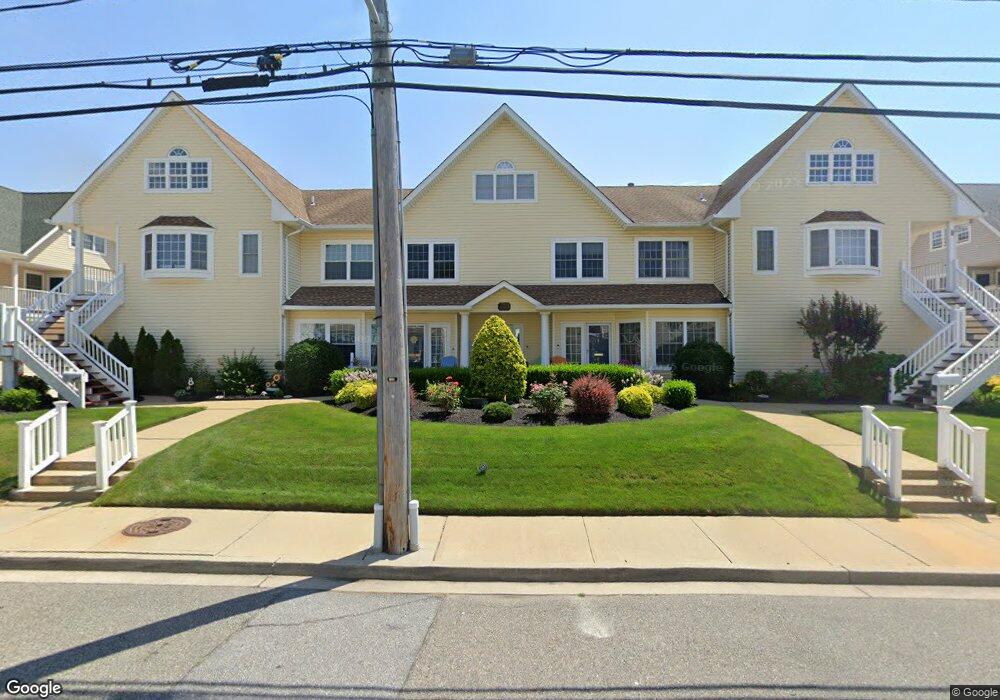
233 Westside Ave Unit C Freeport, NY 11520
Estimated Value: $738,000
3
Beds
3
Baths
2,463
Sq Ft
$300/Sq Ft
Est. Value
About This Home
This home is located at 233 Westside Ave Unit C, Freeport, NY 11520 and is currently estimated at $738,000, approximately $299 per square foot. 233 Westside Ave Unit C is a home located in Nassau County with nearby schools including Columbus Avenue School, Caroline G. Atkinson Intermediate School, and John W Dodd Middle School.
Ownership History
Date
Name
Owned For
Owner Type
Purchase Details
Closed on
Nov 15, 2017
Sold by
Miller Bonnie E
Bought by
Gallagher Brian
Current Estimated Value
Home Financials for this Owner
Home Financials are based on the most recent Mortgage that was taken out on this home.
Original Mortgage
$288,000
Interest Rate
3.93%
Mortgage Type
New Conventional
Purchase Details
Closed on
Apr 23, 2004
Sold by
Scal Realty Corp
Bought by
Miller Bonnie
Create a Home Valuation Report for This Property
The Home Valuation Report is an in-depth analysis detailing your home's value as well as a comparison with similar homes in the area
Home Values in the Area
Average Home Value in this Area
Purchase History
| Date | Buyer | Sale Price | Title Company |
|---|---|---|---|
| Gallagher Brian | $360,000 | -- | |
| Miller Bonnie | $427,200 | -- |
Source: Public Records
Mortgage History
| Date | Status | Borrower | Loan Amount |
|---|---|---|---|
| Previous Owner | Gallagher Brian | $288,000 |
Source: Public Records
Tax History Compared to Growth
Tax History
| Year | Tax Paid | Tax Assessment Tax Assessment Total Assessment is a certain percentage of the fair market value that is determined by local assessors to be the total taxable value of land and additions on the property. | Land | Improvement |
|---|---|---|---|---|
| 2025 | $9,552 | $443 | $248 | $195 |
| 2024 | $993 | $443 | $248 | $195 |
Source: Public Records
Map
Nearby Homes
- 226 Westside Ave Unit B
- 292 Westside Ave
- 479 Roosevelt Ave
- 159 Branch Ave
- 587 S Bayview Ave
- 65 Adams St
- 209 Nassau Ave
- 300 Branch Ave
- 470 Miller Ave
- 374 Miller Ave
- 322 Miller Ave
- 744 S Long Beach Ave
- 310 Miller Ave
- 173 Cedar St
- 210 Westend Ave Unit 8B
- 28 Florence Ave
- 8 Florence Ave Unit 16C
- 494 S Ocean Ave Unit 1M
- 494 S Ocean Ave Unit 1H
- 494 S Ocean Ave Unit 3A
- 233 Westside Ave
- 233 Westside Ave Unit D
- 233 Westside Ave Unit B
- 233 Westside Ave Unit A
- 243 Westside Ave
- 243 Westside Ave Unit D
- 243 Westside Ave Unit C
- 243 Westside Ave Unit B
- 243 Westside Ave Unit A
- 243 Westside Ave Unit E
- 223 Westside Ave
- 223 Westside Ave Unit D
- 223 Westside Ave Unit C
- 223 Westside Ave Unit B
- 223 Westside Ave Unit A
- 223 Westside Ave Unit E
- 226A Westside Ave Unit A
- 226A Westside Ave
- 226 Westside Ave Unit 23
- 226 Westside Ave Unit A