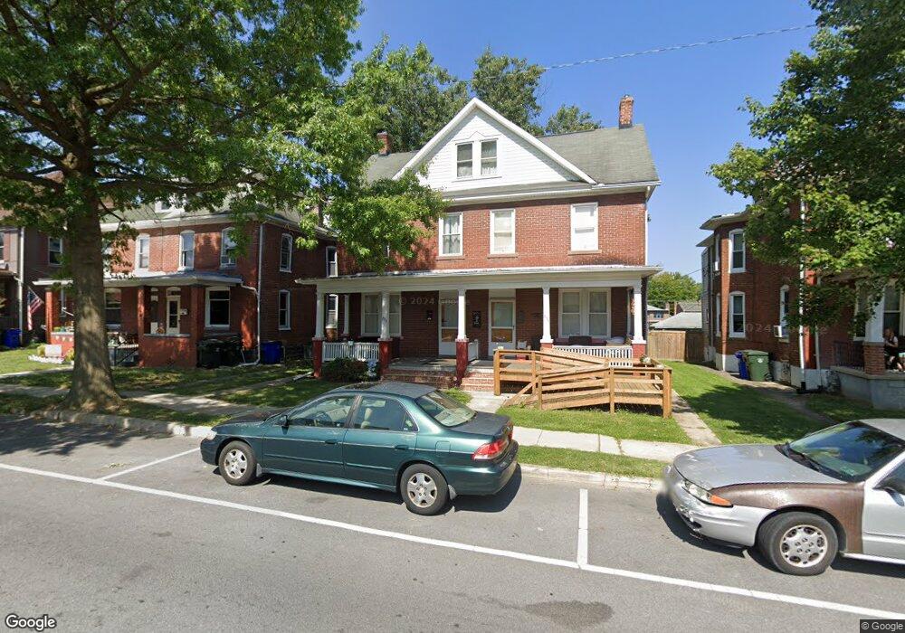
233 Westside Ave Unit 235 Hagerstown, MD 21740
West End NeighborhoodEstimated Value: $208,024 - $241,000
--
Bed
1
Bath
1,576
Sq Ft
$139/Sq Ft
Est. Value
About This Home
This home is located at 233 Westside Ave Unit 235, Hagerstown, MD 21740 and is currently estimated at $218,506, approximately $138 per square foot. 233 Westside Ave Unit 235 is a home located in Washington County with nearby schools including Salem Avenue Elementary School, Owendale-Gagetown Junior/Senior High School, and Western Heights Middle School.
Ownership History
Date
Name
Owned For
Owner Type
Purchase Details
Closed on
Aug 29, 2022
Sold by
Bartles Jacob L
Bought by
Harnish Terry L and Harnish Mary Lou
Current Estimated Value
Home Financials for this Owner
Home Financials are based on the most recent Mortgage that was taken out on this home.
Original Mortgage
$115,000
Outstanding Balance
$109,636
Interest Rate
4.99%
Mortgage Type
New Conventional
Estimated Equity
$108,870
Purchase Details
Closed on
Aug 1, 2016
Sold by
Bartles Jacob L and Bartles Mary L
Bought by
Bartles Jacob L and Bartles Mary L
Create a Home Valuation Report for This Property
The Home Valuation Report is an in-depth analysis detailing your home's value as well as a comparison with similar homes in the area
Home Values in the Area
Average Home Value in this Area
Purchase History
| Date | Buyer | Sale Price | Title Company |
|---|---|---|---|
| Harnish Terry L | -- | -- | |
| Bartles Jacob L | -- | Attorney |
Source: Public Records
Mortgage History
| Date | Status | Borrower | Loan Amount |
|---|---|---|---|
| Open | Harnish Terry L | $115,000 |
Source: Public Records
Tax History Compared to Growth
Tax History
| Year | Tax Paid | Tax Assessment Tax Assessment Total Assessment is a certain percentage of the fair market value that is determined by local assessors to be the total taxable value of land and additions on the property. | Land | Improvement |
|---|---|---|---|---|
| 2025 | $1,428 | $192,000 | $19,000 | $173,000 |
| 2024 | $1,428 | $173,767 | $0 | $0 |
| 2023 | $1,312 | $155,533 | $0 | $0 |
| 2022 | $1,198 | $137,300 | $19,000 | $118,300 |
| 2021 | $2,500 | $129,667 | $0 | $0 |
| 2020 | $1,070 | $122,033 | $0 | $0 |
| 2019 | $1,070 | $114,400 | $19,000 | $95,400 |
| 2018 | $1,387 | $114,400 | $19,000 | $95,400 |
| 2017 | $1,187 | $114,400 | $0 | $0 |
| 2016 | -- | $126,900 | $0 | $0 |
| 2015 | -- | $127,000 | $0 | $0 |
| 2014 | $2,699 | $127,000 | $0 | $0 |
Source: Public Records
Map
Nearby Homes
- 721 George St
- 121 Winter St
- 616 W Franklin St
- 614 Salem Ave
- 217 James St
- 527 W Church St
- 744 W Washington St
- 221 Devonshire Rd
- 14 Avalon Ave
- 446 Stratford Ave
- 239 Devonshire Rd
- 701 W Washington St
- 505 W Church St
- 325 Devonshire Rd
- 829 W Washington St
- 831 W Washington St
- 500 Salem Ave
- 70 Nottingham Rd
- 36 High St
- 367 Devonshire Rd
- 229 W Side Ave
- 229 Westside Ave
- 231 West Side Ave
- 231 Westside Ave
- 227 W Side Ave
- 237 W Side Ave
- 237 West Side Ave
- 227 West Side Ave
- 239 West Side Ave
- 225 Westside Ave
- 243 West Side Ave
- 223 West Side Ave
- 228 Westside Ave
- 221 Westside Ave
- 226 W Side Ave
- 245 Westside Ave
- 238 Westside Ave
- 238 W Side Ave
- 224 Westside Ave
- 240 W Side 242 Ave