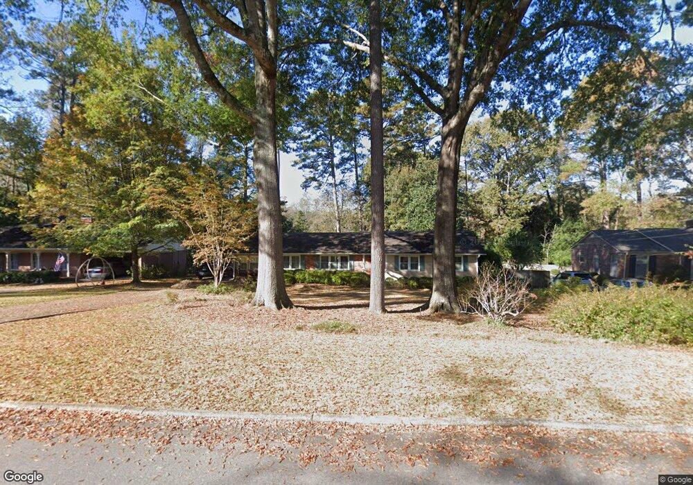
233 Westwood Dr Unit 20 Lagrange, GA 30240
Estimated Value: $274,944 - $326,000
3
Beds
2
Baths
2,196
Sq Ft
$138/Sq Ft
Est. Value
About This Home
This home is located at 233 Westwood Dr Unit 20, Lagrange, GA 30240 and is currently estimated at $302,486, approximately $137 per square foot. 233 Westwood Dr Unit 20 is a home located in Troup County with nearby schools including Hollis Hand Elementary School, Ethel W. Kight Elementary School, and Franklin Forest Elementary School.
Ownership History
Date
Name
Owned For
Owner Type
Purchase Details
Closed on
Feb 19, 1995
Sold by
Jennifer Gordy and Ralph Wayne
Bought by
Johnson Ralph T
Current Estimated Value
Purchase Details
Closed on
Feb 18, 1995
Sold by
Mills Lane Johnson
Bought by
Jennifer Gordy and Ralph Wayne
Purchase Details
Closed on
Feb 9, 1967
Sold by
Harriett Ray C and Harriett Anderson
Bought by
Mills Lane Johnson
Create a Home Valuation Report for This Property
The Home Valuation Report is an in-depth analysis detailing your home's value as well as a comparison with similar homes in the area
Home Values in the Area
Average Home Value in this Area
Purchase History
| Date | Buyer | Sale Price | Title Company |
|---|---|---|---|
| Johnson Ralph T | -- | -- | |
| Jennifer Gordy | -- | -- | |
| Mills Lane Johnson | $18,000 | -- |
Source: Public Records
Tax History Compared to Growth
Tax History
| Year | Tax Paid | Tax Assessment Tax Assessment Total Assessment is a certain percentage of the fair market value that is determined by local assessors to be the total taxable value of land and additions on the property. | Land | Improvement |
|---|---|---|---|---|
| 2024 | $1,967 | $79,936 | $18,000 | $61,936 |
| 2023 | $1,879 | $76,712 | $18,000 | $58,712 |
| 2022 | $1,828 | $73,232 | $18,000 | $55,232 |
| 2021 | $1,870 | $69,760 | $18,000 | $51,760 |
| 2020 | $1,870 | $69,760 | $18,000 | $51,760 |
| 2019 | $1,631 | $61,840 | $10,120 | $51,720 |
| 2018 | $1,557 | $59,360 | $10,120 | $49,240 |
| 2017 | $1,478 | $56,760 | $9,600 | $47,160 |
| 2016 | $1,468 | $56,415 | $9,600 | $46,815 |
| 2015 | $1,100 | $36,422 | $10,153 | $26,269 |
| 2014 | $1,026 | $35,880 | $10,153 | $25,727 |
| 2013 | -- | $39,844 | $10,176 | $29,668 |
Source: Public Records
Map
Nearby Homes
- 609 Cherokee Rd
- 603 Country Club Rd
- 705 Piney Woods Dr
- 203 Waverly Way
- 109 Waverly Way
- 110 Waverly Way
- 105 Saynor Cir
- 748 Lakewood Dr
- 408 Gordon St
- 209 N Lee St
- 145 Turner St
- 0 N Lee St Unit 10550825
- 217 Jefferson St
- 208 Boulevard
- 102 Ewing St
- 724 Camellia Dr
- 209 Boulevard
- 106 Ewing St
- 109 Thomas St
- 206 Broad St
- 233 Westwood Dr
- 225 Westwood Dr
- 235 Westwood Dr
- 717 Ridgecrest Rd
- 239 Westwood Dr
- 238 Westwood Dr
- 232 Westwood Dr
- 242 Westwood Dr
- 715 Ridgecrest Rd
- 223 Westwood Dr
- 725 Ridgecrest Rd
- 230 Westwood Dr
- 244 Westwood Dr
- 246 Westwood Dr
- 713 Ridgecrest Rd
- 503 Pineview Terrace
- 505 Pineview Terrace
- 501 Pineview Terrace
- 219 Westwood Dr
- 722 Ridgecrest Rd