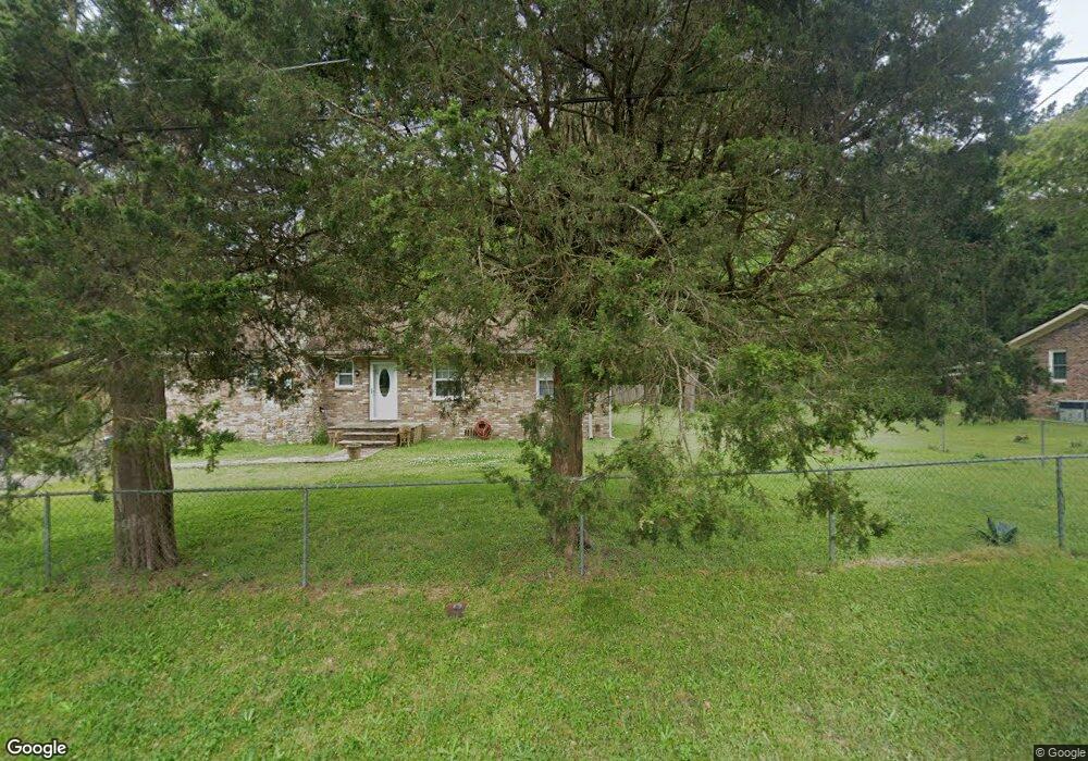
233 Williams St Oxford, GA 30054
Estimated Value: $585,246
3
Beds
1
Bath
1,800
Sq Ft
$325/Sq Ft
Est. Value
About This Home
This home is located at 233 Williams St, Oxford, GA 30054 and is currently priced at $585,246, approximately $325 per square foot. 233 Williams St is a home located in Newton County with nearby schools including Flint Hill Elementary School, Cousins Middle School, and Newton High School.
Ownership History
Date
Name
Owned For
Owner Type
Purchase Details
Closed on
Sep 4, 2009
Sold by
Elrod Paul D and Elrod Wynette A
Bought by
Elrod Paul D and Elrod Wynette A
Current Estimated Value
Home Financials for this Owner
Home Financials are based on the most recent Mortgage that was taken out on this home.
Original Mortgage
$289,500
Interest Rate
5.14%
Mortgage Type
New Conventional
Purchase Details
Closed on
Jul 10, 1998
Sold by
Black Neal D
Bought by
Petree Frank Wesley and Petree Deanna
Home Financials for this Owner
Home Financials are based on the most recent Mortgage that was taken out on this home.
Original Mortgage
$148,000
Interest Rate
7.04%
Mortgage Type
New Conventional
Create a Home Valuation Report for This Property
The Home Valuation Report is an in-depth analysis detailing your home's value as well as a comparison with similar homes in the area
Home Values in the Area
Average Home Value in this Area
Purchase History
| Date | Buyer | Sale Price | Title Company |
|---|---|---|---|
| Elrod Paul D | -- | -- | |
| Petree Frank Wesley | $185,000 | -- |
Source: Public Records
Mortgage History
| Date | Status | Borrower | Loan Amount |
|---|---|---|---|
| Closed | Elrod Paul D | $289,500 | |
| Previous Owner | Petree Frank Wesley | $148,000 |
Source: Public Records
Tax History Compared to Growth
Tax History
| Year | Tax Paid | Tax Assessment Tax Assessment Total Assessment is a certain percentage of the fair market value that is determined by local assessors to be the total taxable value of land and additions on the property. | Land | Improvement |
|---|---|---|---|---|
| 2022 | $1,619 | $53,400 | $53,400 | $0 |
| 2021 | $1,619 | $53,400 | $53,400 | $0 |
| 2020 | $1,901 | $53,400 | $53,400 | $0 |
| 2019 | $1,893 | $53,400 | $53,400 | $0 |
| 2018 | $1,893 | $53,400 | $53,400 | $0 |
| 2017 | $1,836 | $51,800 | $51,800 | $0 |
| 2016 | -- | $55,040 | $38,560 | $16,480 |
| 2015 | $1,630 | $47,480 | $39,720 | $7,760 |
| 2014 | $1,448 | $42,320 | $0 | $0 |
Source: Public Records
Map
Nearby Homes
- 1310 Emory St
- 1417 Wesley St
- 1206 Wesley St
- 205 Emory Way
- 405 W Richardson St
- 208 Emory Way
- 0 Asbury St Unit 10646779
- 1008 Emory St
- 908 Emory St
- 70 Oxford Rd
- 250 Stagecoach Rd
- 695 Victoria Ln
- 900 Victoria Ln
- 20 ACRES Oxford Rd
- 36 ACRES Oxford Rd
- 142 Longstreet Cir
- 122 Longstreet Cir
- 135 Carole Dr
- 2101 Highway 81
- 2131 Highway 81
- 206 Williams St
- 205 Williams St
- 208 Williams St
- 207 Williams St
- 203 Williams St
- 1311 Asbury St
- 209 Williams St
- 210 Williams St
- 201 Williams St
- 214 Collingsworth St
- 1303 Asbury St
- 1302 Wesley St
- 204 W Watson St
- 202 W Watson St
- 1408 Wesley St
- 106 W Watson St
- 104 W Watson St
- 1301 Wesley St
- 1401 Wesley St
- 201 W Watson St