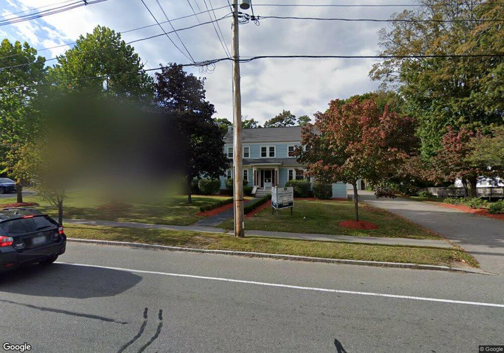
233 Winthrop St Taunton, MA 02780
Estimated Value: $784,842
4
Beds
2
Baths
2,544
Sq Ft
$309/Sq Ft
Est. Value
About This Home
This home is located at 233 Winthrop St, Taunton, MA 02780 and is currently estimated at $784,842, approximately $308 per square foot. 233 Winthrop St is a home located in Bristol County with nearby schools including Mulcahey Elementary School, Benjamin Friedman Middle School, and Taunton High School.
Ownership History
Date
Name
Owned For
Owner Type
Purchase Details
Closed on
Nov 19, 2008
Sold by
Donnelly Thomas J and Donnelly Veronica P
Bought by
Sai Medical Llc
Current Estimated Value
Home Financials for this Owner
Home Financials are based on the most recent Mortgage that was taken out on this home.
Original Mortgage
$272,500
Interest Rate
6.03%
Mortgage Type
Commercial
Create a Home Valuation Report for This Property
The Home Valuation Report is an in-depth analysis detailing your home's value as well as a comparison with similar homes in the area
Home Values in the Area
Average Home Value in this Area
Purchase History
| Date | Buyer | Sale Price | Title Company |
|---|---|---|---|
| Sai Medical Llc | $355,000 | -- | |
| Sai Medical Llc | $355,000 | -- |
Source: Public Records
Mortgage History
| Date | Status | Borrower | Loan Amount |
|---|---|---|---|
| Open | Sai Medical Llc | $226,000 | |
| Closed | Sai Medical Llc | $272,500 | |
| Previous Owner | Sai Medical Llc | $119,000 | |
| Previous Owner | Sai Medical Llc | $130,000 |
Source: Public Records
Tax History Compared to Growth
Tax History
| Year | Tax Paid | Tax Assessment Tax Assessment Total Assessment is a certain percentage of the fair market value that is determined by local assessors to be the total taxable value of land and additions on the property. | Land | Improvement |
|---|---|---|---|---|
| 2025 | $15,155 | $637,300 | $137,600 | $499,700 |
| 2024 | $14,961 | $609,900 | $137,600 | $472,300 |
| 2023 | $14,831 | $563,900 | $137,700 | $426,200 |
| 2022 | $14,138 | $489,700 | $121,800 | $367,900 |
| 2021 | $14,146 | $488,300 | $121,800 | $366,500 |
| 2020 | $477 | $398,200 | $97,500 | $300,700 |
| 2019 | $475 | $380,400 | $95,100 | $285,300 |
| 2018 | $12,774 | $371,000 | $91,600 | $279,400 |
| 2017 | $466 | $368,200 | $90,700 | $277,500 |
| 2016 | $12,497 | $368,200 | $90,700 | $277,500 |
| 2015 | $14,108 | $424,300 | $90,400 | $333,900 |
| 2014 | $13,234 | $424,300 | $90,400 | $333,900 |
Source: Public Records
Map
Nearby Homes
- 173 Highland St Unit 201
- 170 Highland St Unit 320
- 170 Highland St Unit 119
- 193 Winthrop St
- 125 Highland St Unit 103
- 64 Kalman Place
- 92 Highland Ave
- 6 Grove Ave
- 133 Winthrop St
- 75 Wales St
- 1 Everett St
- 321 Winthrop St Unit 109
- 26 Kilmer Ave
- 65 Bridget Dr
- 39 Myrtle St
- 15 Chase St
- 72 Barnum St
- 50 Highland St Unit 135
- 410 Warner Blvd Unit A
- 278 Cohannet St
- 235 Winthrop St
- 225 Winthrop St
- 14 Whitehill St
- 237 Winthrop St
- 221 Winthrop St
- 10 Whitehill St
- 60 Whitehill St
- 228 Winthrop St
- 224 Winthrop St
- 219 Winthrop St
- 8 Whitehill St
- 226 Winthrop St
- 226 Winthrop St Unit 3
- 226 Winthrop St Unit 2
- 226 Winthrop St Unit 1
- 239 Winthrop St
- 230 Winthrop St
- 6 Whitehill St
- 217 Winthrop St
- 66 Whitehill St