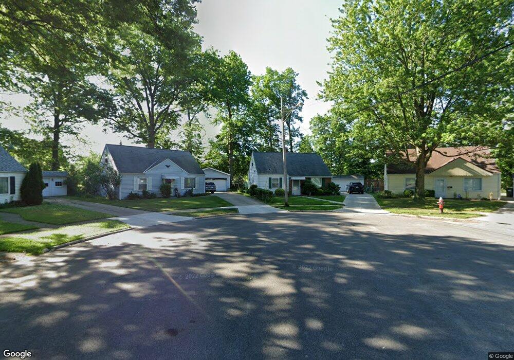
23306 Pam Ct Euclid, OH 44123
Estimated Value: $122,000 - $138,000
4
Beds
1
Bath
1,220
Sq Ft
$105/Sq Ft
Est. Value
About This Home
This home is located at 23306 Pam Ct, Euclid, OH 44123 and is currently estimated at $127,619, approximately $104 per square foot. 23306 Pam Ct is a home located in Cuyahoga County with nearby schools including Bluestone Elementary School, Euclid High School, and Pinnacle Academy.
Ownership History
Date
Name
Owned For
Owner Type
Purchase Details
Closed on
Apr 13, 2023
Sold by
Kucinski Kenneth R and Kucinski Russell C
Bought by
Kucinski David G
Current Estimated Value
Purchase Details
Closed on
Nov 18, 1982
Sold by
Kucinski Marcislaus J and Kucinski K
Bought by
Mercislaus J Kucinski
Purchase Details
Closed on
Jan 1, 1975
Bought by
Kucinski Marcislaus J and Kucinski K
Create a Home Valuation Report for This Property
The Home Valuation Report is an in-depth analysis detailing your home's value as well as a comparison with similar homes in the area
Home Values in the Area
Average Home Value in this Area
Purchase History
| Date | Buyer | Sale Price | Title Company |
|---|---|---|---|
| Kucinski David G | -- | None Listed On Document | |
| Mercislaus J Kucinski | -- | -- | |
| Kucinski Marcislaus J | -- | -- |
Source: Public Records
Tax History
| Year | Tax Paid | Tax Assessment Tax Assessment Total Assessment is a certain percentage of the fair market value that is determined by local assessors to be the total taxable value of land and additions on the property. | Land | Improvement |
|---|---|---|---|---|
| 2024 | $2,855 | $40,530 | $8,435 | $32,095 |
| 2023 | $2,471 | $27,800 | $6,130 | $21,670 |
| 2022 | $2,416 | $27,790 | $6,130 | $21,670 |
| 2021 | $2,695 | $27,790 | $6,130 | $21,670 |
| 2020 | $1,827 | $25,730 | $5,670 | $20,060 |
| 2019 | $1,640 | $73,500 | $16,200 | $57,300 |
| 2018 | $1,598 | $25,730 | $5,670 | $20,060 |
| 2017 | $1,669 | $23,040 | $5,570 | $17,470 |
| 2016 | $1,673 | $23,040 | $5,570 | $17,470 |
| 2015 | $1,527 | $23,040 | $5,570 | $17,470 |
| 2014 | $1,527 | $23,040 | $5,570 | $17,470 |
Source: Public Records
Map
Nearby Homes
- 324 E 235th St
- 328 E 238th St
- 323 E 235th St
- 295 E 238th St
- 271 E 238th St
- 521 Kenwood Dr Unit B-5
- 461 Kenwood Dr Unit T3
- 24791 Drakefield Ave
- 450 Kenwood Dr Unit D-12
- 22751 Fox Ave
- 24431 Hartland Rd
- 344 E 246th St
- 421 Kenwood Dr Unit G
- 325 E 244th St
- 464 E 250th St
- 336 E 222nd St
- 515 E 250th St
- 24891 Zeman Ave
- 442 Clearview Dr Unit U9
- 422 Clearview Dr Unit J10
- 23308 Pam Ct
- 23302 Pam Ct
- 23310 Pam Ct
- 23300 Pam Ct
- 23312 Pam Ct
- 23314 Williams Ave
- 23316 Williams Ave
- 23296 Williams Ave
- 23318 Williams Ave
- 23294 Williams Ave
- 23315 Williams Ave
- 23313 Williams Ave
- 23320 Williams Ave
- 23292 Williams Ave
- 23317 Williams Ave
- 23311 Williams Ave
- 23319 Williams Ave
- 23309 Williams Ave
- 23322 Williams Ave
- 23321 Williams Ave
Your Personal Tour Guide
Ask me questions while you tour the home.