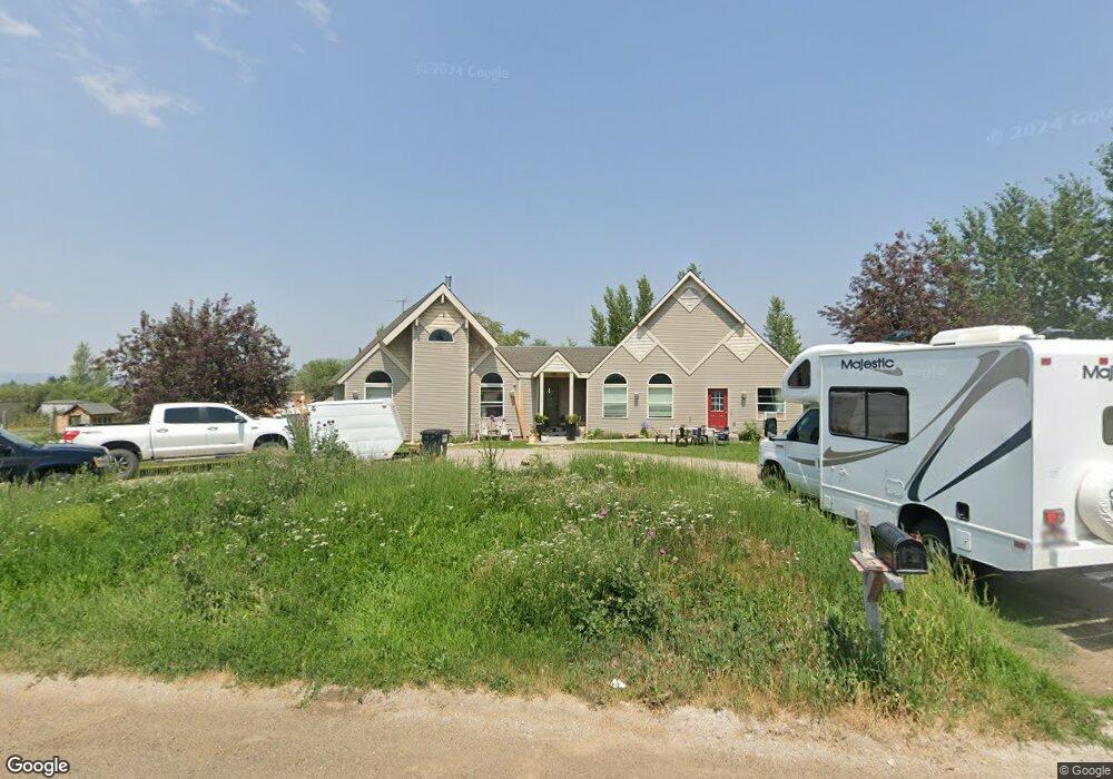
2331 Mount Davidson Dr Driggs, ID 83422
Estimated Value: $861,971 - $1,123,000
4
Beds
3
Baths
2,638
Sq Ft
$375/Sq Ft
Est. Value
About This Home
This home is located at 2331 Mount Davidson Dr, Driggs, ID 83422 and is currently estimated at $989,493, approximately $375 per square foot. 2331 Mount Davidson Dr is a home located in Teton County with nearby schools including Driggs Elementary School, Teton High School, and The Learning Academy Of Teton Valley.
Ownership History
Date
Name
Owned For
Owner Type
Purchase Details
Closed on
Nov 23, 2021
Sold by
Gustafson Robert J and Gustafson Dee
Bought by
Hanamaikai Phillip and Hanamaikai Heather
Current Estimated Value
Home Financials for this Owner
Home Financials are based on the most recent Mortgage that was taken out on this home.
Original Mortgage
$567,450
Outstanding Balance
$520,402
Interest Rate
3.05%
Mortgage Type
Seller Take Back
Estimated Equity
$469,091
Create a Home Valuation Report for This Property
The Home Valuation Report is an in-depth analysis detailing your home's value as well as a comparison with similar homes in the area
Purchase History
| Date | Buyer | Sale Price | Title Company |
|---|---|---|---|
| Hanamaikai Phillip | -- | First American Title |
Source: Public Records
Mortgage History
| Date | Status | Borrower | Loan Amount |
|---|---|---|---|
| Open | Hanamaikai Phillip | $567,450 |
Source: Public Records
Tax History
| Year | Tax Paid | Tax Assessment Tax Assessment Total Assessment is a certain percentage of the fair market value that is determined by local assessors to be the total taxable value of land and additions on the property. | Land | Improvement |
|---|---|---|---|---|
| 2025 | $2,753 | $794,233 | $210,000 | $584,233 |
| 2024 | $2,561 | $736,413 | $180,000 | $556,413 |
| 2023 | $2,561 | $736,413 | $180,000 | $556,413 |
| 2022 | $2,687 | $643,956 | $160,000 | $483,956 |
| 2021 | $2,712 | $398,574 | $65,000 | $333,574 |
| 2020 | $2,540 | $304,268 | $33,582 | $270,686 |
| 2019 | $2,360 | $287,547 | $33,582 | $253,965 |
| 2018 | $2,350 | $264,459 | $33,582 | $230,877 |
| 2017 | $2,129 | $264,459 | $33,582 | $230,877 |
| 2016 | $2,008 | $229,997 | $26,055 | $203,942 |
| 2015 | $2,040 | $203,061 | $26,055 | $177,006 |
| 2011 | -- | $183,718 | $23,160 | $160,558 |
Source: Public Records
Map
Nearby Homes
- 1918 Targhee Ridge Dr
- LOT 4 Powder Day Ln
- 1422 Whitetail Dr
- 1313 Whitetail Dr
- 1629 Jackrabbit Ln
- 1601 Jackrabbit Ln
- 1169 Prairie Dog Way
- 1772 Foxtail Dr
- 1864 Pioneer Trail
- 2470 Falcon Creek Dr
- 1772 Cottonwood Dr
- TBD Ski Hill Rd
- 2007 Creek Resort Cir
- 2740 Shadowmoon Ln Unit 314
- 2740 Shadowmoon Ln Unit 221
- TBD 10 AC. Stateline Rd
- 50 Altamont Rd
- 1046 Pawnee Rd
- 2525 N 1000 E
- 1260 Sorensen Way
- 1493 Targhee Ranch Dr
- 2334 Mount Davidson Dr
- 1531 Targhee Ranch Dr
- 2366 Mount Davidson Dr
- 2263 Mount Davidson Dr
- LOT 4 Mount Davidson Dr
- 222 E Falcon Dr
- 2298 Mount Davidson Dr
- 1778 Targhee Ranch Dr
- 0 Targhee Ranch Dr
- 1452 Targhee Ranch Dr
- 1399 Targhee Ranch Dr
- 1575 Targhee Ranch Dr
- 2237 Mount Davidson Dr
- 2266 Mount Davidson Dr
- 1728 Table Rock Dr
- 155 Grand Teton Rd
- 168 Grand Teton Dr
- 2205 Mount Davidson Dr
- 1603 Targhee Ranch Dr
Your Personal Tour Guide
Ask me questions while you tour the home.