23318 N Austin Rd Colbert, WA 99005
Estimated Value: $538,000 - $669,777
2
Beds
2
Baths
1,674
Sq Ft
$364/Sq Ft
Est. Value
About This Home
This home is located at 23318 N Austin Rd, Colbert, WA 99005 and is currently estimated at $608,926, approximately $363 per square foot. 23318 N Austin Rd is a home located in Spokane County with nearby schools including Brentwood Elementary School, Northwood Middle School, and Mead Senior High School.
Ownership History
Date
Name
Owned For
Owner Type
Purchase Details
Closed on
Mar 28, 2025
Sold by
Double L Land Llc
Bought by
Jones House Llc
Current Estimated Value
Purchase Details
Closed on
Jun 24, 2022
Sold by
Larson Norman D
Bought by
Double L Land Llc
Purchase Details
Closed on
Dec 7, 1990
Sold by
Jones Mildred J
Bought by
Larson Norman D
Create a Home Valuation Report for This Property
The Home Valuation Report is an in-depth analysis detailing your home's value as well as a comparison with similar homes in the area
Purchase History
| Date | Buyer | Sale Price | Title Company |
|---|---|---|---|
| Jones House Llc | $313 | None Listed On Document | |
| Double L Land Llc | -- | Brock Law Firm Ps | |
| Larson Norman D | -- | Ticor Title Insurance |
Source: Public Records
Tax History
| Year | Tax Paid | Tax Assessment Tax Assessment Total Assessment is a certain percentage of the fair market value that is determined by local assessors to be the total taxable value of land and additions on the property. | Land | Improvement |
|---|---|---|---|---|
| 2025 | $3,891 | $615,430 | $362,230 | $253,200 |
| 2024 | $3,891 | $630,530 | $350,230 | $280,300 |
| 2023 | $3,499 | $559,500 | $267,000 | $292,500 |
| 2022 | $3,368 | $571,700 | $267,000 | $304,700 |
| 2021 | $2,828 | $427,980 | $227,180 | $200,800 |
| 2020 | $2,806 | $410,480 | $227,180 | $183,300 |
| 2019 | $2,544 | $401,580 | $243,180 | $158,400 |
| 2018 | $2,809 | $462,220 | $310,420 | $151,800 |
| 2017 | $2,659 | $450,620 | $310,420 | $140,200 |
| 2016 | $2,569 | $371,530 | $241,730 | $129,800 |
| 2015 | $2,468 | $303,290 | $170,390 | $132,900 |
| 2014 | -- | $291,170 | $158,270 | $132,900 |
| 2013 | -- | $0 | $0 | $0 |
Source: Public Records
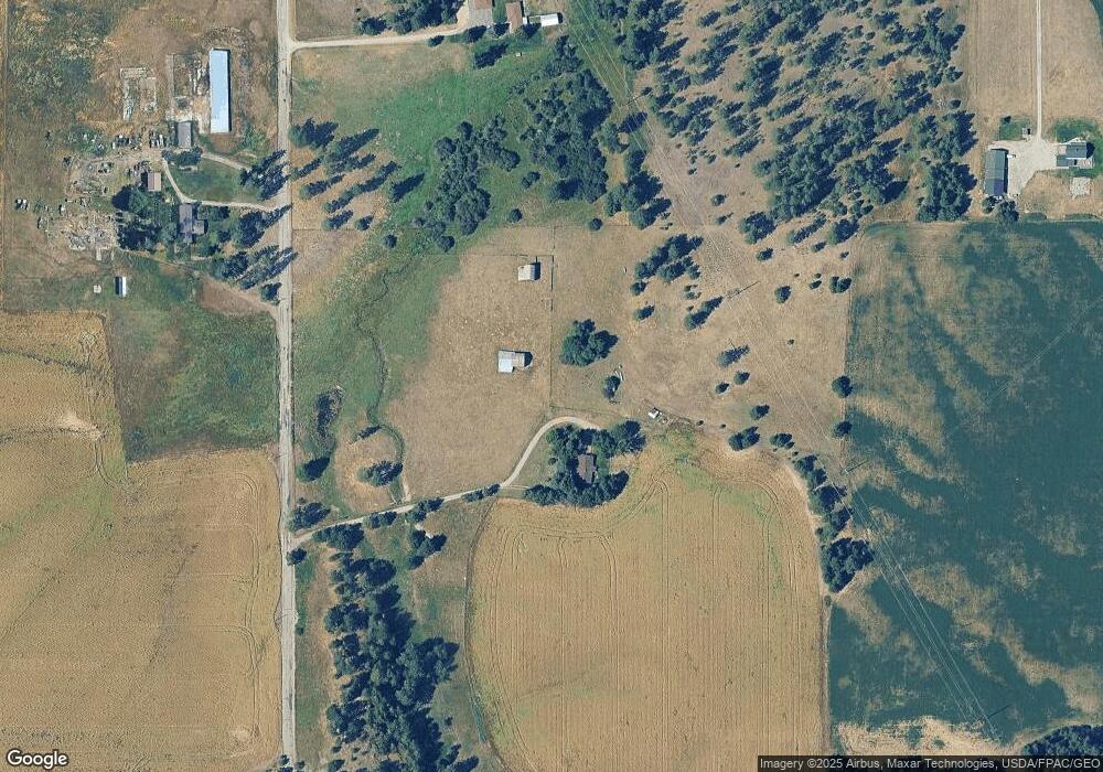
Map
Nearby Homes
- 21018 N Austin Rd
- 39XX W Wild Rose Rd Unit Lot 1
- 39XX W Wild Rose Rd Unit Lot 4
- 39XX W Wild Rose Rd Unit Lot 2
- 25315 N North Rd
- 20XXX N Cedar Rd
- 21200 N Division Rd
- 507 E Ziegler Ln
- 21XXX N Ln
- 23612 N Hatch Rd
- 20819 N Division Rd
- 304 E Burk Rd
- 3900 W Wild Rose Rd Unit Lot 3
- 1702 W Monroe Rd
- 24415 N Crescent Rd
- NKA W Ballard Rd Unit Lot 2-A
- NKA W Ballard Rd Unit Lot 1-C
- NKA W Ballard Rd Unit Lot 3-A
- NKA W Ballard Rd Unit Lot 1-B
- 00 W Staley Rd
- 23514 N Austin Rd
- 23515 N Austin Rd
- 22907 N Wayside Ln
- 22715 N Wayside Ln
- 1617 W Wild Rose Rd
- 22818 N Austin Rd
- 23011 N Wayside Ln
- 1705 W Wild Rose Rd
- 23808 N Austin Rd
- 1905 W Wild Rose Rd
- 1010 W Wild Rose Rd
- 10XX W Wild Rose Rd
- 1912 W Wild Rose Rd
- 2014 W Wild Rose Rd
- 22812 N Wayside Ln
- 1583 W Wild Rose Rd
- 1521 W Wild Rose Rd
- 22608 N Wayside Ln
- 1415 W Wild Rose Rd
- 1506 W Wild Rose Rd