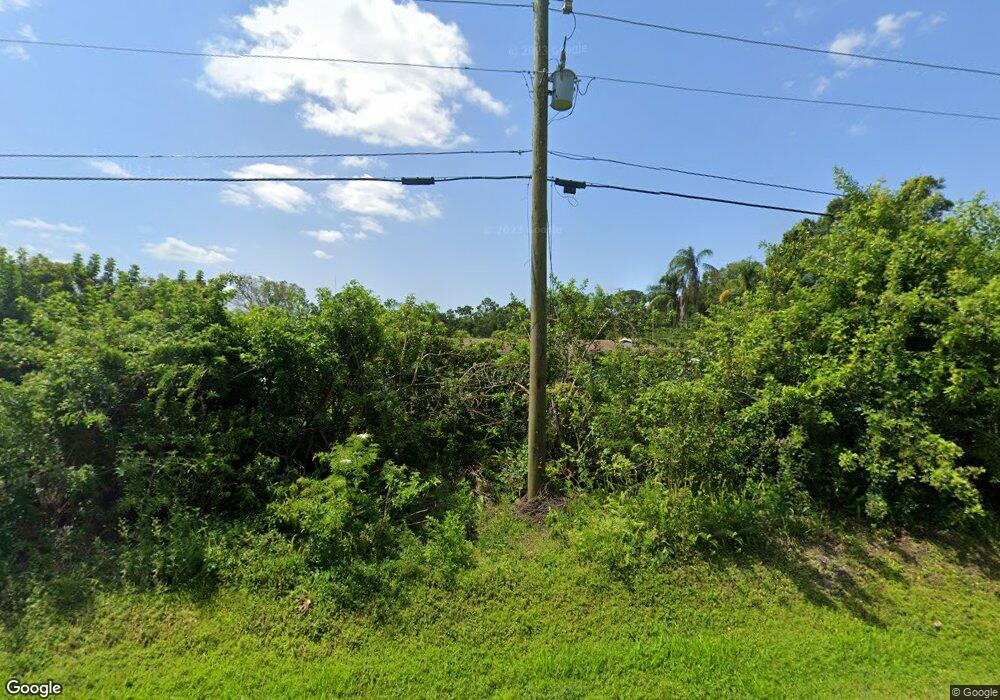
2332 Desoto Rd Sarasota, FL 34234
Desoto Acres NeighborhoodEstimated Value: $619,000 - $884,000
2
Beds
2
Baths
3,006
Sq Ft
$235/Sq Ft
Est. Value
About This Home
This home is located at 2332 Desoto Rd, Sarasota, FL 34234 and is currently estimated at $705,399, approximately $234 per square foot. 2332 Desoto Rd is a home located in Sarasota County with nearby schools including Emma E. Booker Elementary School, Booker Middle School, and Booker High School.
Ownership History
Date
Name
Owned For
Owner Type
Purchase Details
Closed on
Feb 15, 2017
Sold by
Cell David S and Cell Elizabeth A
Bought by
Ojeda Flor
Current Estimated Value
Purchase Details
Closed on
Jan 11, 2011
Sold by
West Dale C and West Sherry L
Bought by
Cell David S and Cell Elizabeth A
Home Financials for this Owner
Home Financials are based on the most recent Mortgage that was taken out on this home.
Original Mortgage
$188,000
Interest Rate
4.48%
Mortgage Type
New Conventional
Purchase Details
Closed on
Jun 30, 2000
Sold by
Harsche Timothy A and Harche Timothy A
Bought by
West Dale C and West Sherry L
Home Financials for this Owner
Home Financials are based on the most recent Mortgage that was taken out on this home.
Original Mortgage
$70,000
Interest Rate
8.63%
Purchase Details
Closed on
Apr 3, 1996
Sold by
Smith Robert and Smith Lorena A
Bought by
Smith Robert
Create a Home Valuation Report for This Property
The Home Valuation Report is an in-depth analysis detailing your home's value as well as a comparison with similar homes in the area
Home Values in the Area
Average Home Value in this Area
Purchase History
| Date | Buyer | Sale Price | Title Company |
|---|---|---|---|
| Ojeda Flor | $315,000 | Optimum Title Llc | |
| Cell David S | $235,000 | Community Land Title Insuran | |
| West Dale C | $210,000 | -- | |
| West Dale C | $210,000 | -- | |
| Smith Robert | $47,000 | -- |
Source: Public Records
Mortgage History
| Date | Status | Borrower | Loan Amount |
|---|---|---|---|
| Previous Owner | Cell David S | $188,000 | |
| Previous Owner | West Dale C | $70,000 |
Source: Public Records
Tax History Compared to Growth
Tax History
| Year | Tax Paid | Tax Assessment Tax Assessment Total Assessment is a certain percentage of the fair market value that is determined by local assessors to be the total taxable value of land and additions on the property. | Land | Improvement |
|---|---|---|---|---|
| 2024 | $3,630 | $304,347 | -- | -- |
| 2023 | $3,630 | $295,483 | $0 | $0 |
| 2022 | $3,505 | $286,877 | $0 | $0 |
| 2021 | $3,534 | $278,521 | $0 | $0 |
| 2020 | $3,538 | $274,676 | $0 | $0 |
| 2019 | $3,415 | $268,500 | $145,500 | $123,000 |
| 2018 | $3,376 | $267,023 | $0 | $0 |
| 2017 | $2,459 | $190,317 | $0 | $0 |
| 2016 | $2,513 | $233,500 | $126,700 | $106,800 |
| 2015 | $2,552 | $206,300 | $108,300 | $98,000 |
| 2014 | $2,541 | $180,924 | $0 | $0 |
Source: Public Records
Map
Nearby Homes
- 2424 51st St
- 2070 59th St
- 2255 61st St
- 2431 Golf Course Dr Unit 703
- 4532 N Shade Ave
- 2560 Golf Course Dr Unit 507
- 1093 Grantham Dr
- 5310 N Tuttle Ave
- 1825 Innisbrook Ln
- 1871 Palm Springs St
- 5316 Beechmont Ave
- 8377 38th Street Cir E Unit 308
- 1806 Brook Field Terrace
- 4775 Tri Par Dr
- 725 Anegada Ln
- 716 Anegada Ln
- 5321 Rancho Ave
- 4820 Calumet Ave
- 8387 38th Street Cir E Unit 305
- 8351 38th Street Cir E Unit 105
