Estimated Value: $152,000 - $303,000
Studio
--
Bath
--
Sq Ft
405,108
Sq Ft
About This Home
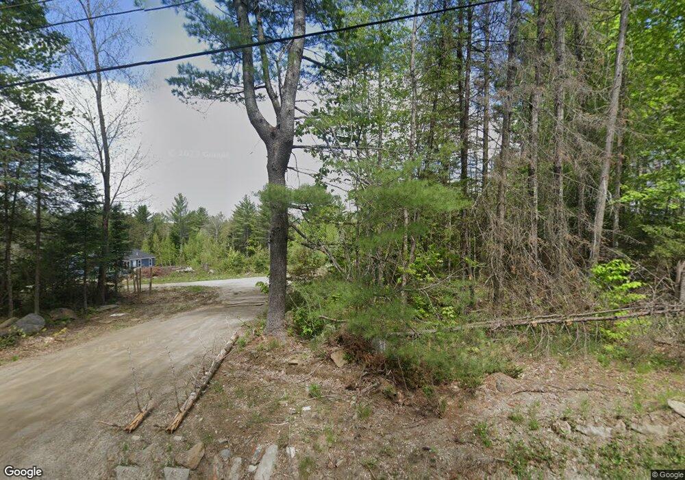
This home is located at 2332 Industry Rd, Anson, ME 04911 and is currently estimated at $217,178. 2332 Industry Rd is a home with nearby schools including Madison Area Memorial High School.
Create a Home Valuation Report for This Property
The Home Valuation Report is an in-depth analysis detailing your home's value as well as a comparison with similar homes in the area
Tax History
| Year | Tax Paid | Tax Assessment Tax Assessment Total Assessment is a certain percentage of the fair market value that is determined by local assessors to be the total taxable value of land and additions on the property. | Land | Improvement |
|---|---|---|---|---|
| 2024 | $2,102 | $145,970 | $19,970 | $126,000 |
| 2023 | $2,036 | $145,970 | $19,970 | $126,000 |
| 2022 | $254 | $19,970 | $19,970 | $0 |
| 2021 | $276 | $19,970 | $19,970 | $0 |
| 2020 | $315 | $19,970 | $19,970 | $0 |
Source: Public Records
Map
Nearby Homes
- 0 Poor Farm Rd Unit 1637355
- 1648 New Sharon Rd
- 17 Anson Rd
- 257 Sawyers Mills Rd
- 6 Kyes Hill Rd
- Lot 005 Greenwood Brook Rd
- Lot 59&60 Starks Rd
- 1.3 Mayhew Rd
- map6 lot1 Mayhew Rd
- Map6 lot2 Mayhew Rd
- 735 Sandy River Rd
- 58 Starks Rd
- 239 Osborne Rd
- 78 Fording Rd
- 55 Cape Cod Hill Rd
- R11-033-4 Bailey Hill Rd
- R11-033-1 Bailey Hill Rd
- R11-033-3 Bailey Hill Rd
- R11-033-5 Bailey Hill Rd
- R11-033-2 Bailey Hill Rd
- 2348 Industry Rd
- 58 Comstock Farm Rd
- R2 L24.13 Industry Rd
- 00 Industry Rd
- 000 Industry Rd
- Lot 25+ Brann Mills Rd
- 2408 Industry Rd
- 2236 Industry Rd
- 59 Branns Mill Rd
- 2014 Industry Rd
- 2197 Industry Rd
- 2122 Industry Rd
- 2197 Industry Rd
- 67 Poor Farm Rd
- 2450 Industry Rd
- 31 Poor Farm Rd
- 2152 Industry Rd
- 10 Poor Farm Rd
- TBD Industry Rd
- MR2 L39 Poor Farm Rd
Your Personal Tour Guide
Ask me questions while you tour the home.