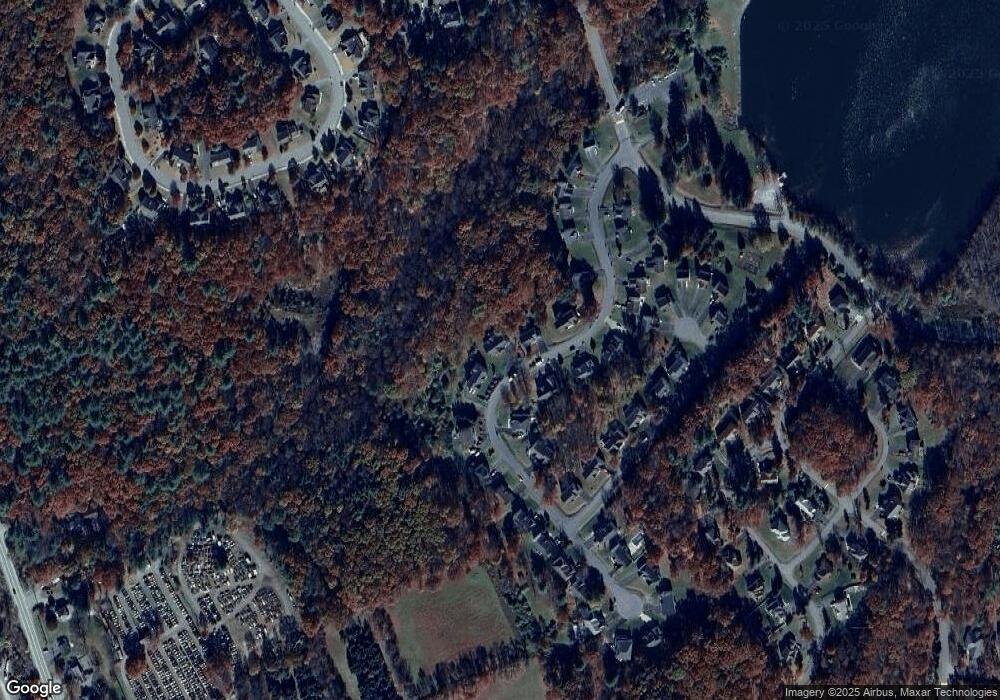
2332 Snapdragon Point East Stroudsburg, PA 18301
Estimated Value: $480,000 - $589,000
4
Beds
4
Baths
4,616
Sq Ft
$112/Sq Ft
Est. Value
About This Home
This home is located at 2332 Snapdragon Point, East Stroudsburg, PA 18301 and is currently estimated at $516,260, approximately $111 per square foot. 2332 Snapdragon Point is a home located in Monroe County with nearby schools including Stroudsburg Junior High School, Stroudsburg High School, and Summit School Of The Poconos.
Ownership History
Date
Name
Owned For
Owner Type
Purchase Details
Closed on
Jul 15, 2013
Sold by
Gray Richard C
Bought by
Powell Karin P
Current Estimated Value
Home Financials for this Owner
Home Financials are based on the most recent Mortgage that was taken out on this home.
Original Mortgage
$193,500
Outstanding Balance
$140,703
Interest Rate
3.92%
Mortgage Type
New Conventional
Estimated Equity
$375,557
Create a Home Valuation Report for This Property
The Home Valuation Report is an in-depth analysis detailing your home's value as well as a comparison with similar homes in the area
Home Values in the Area
Average Home Value in this Area
Purchase History
| Date | Buyer | Sale Price | Title Company |
|---|---|---|---|
| Powell Karin P | $215,000 | None Available |
Source: Public Records
Mortgage History
| Date | Status | Borrower | Loan Amount |
|---|---|---|---|
| Open | Powell Karin P | $193,500 |
Source: Public Records
Tax History Compared to Growth
Tax History
| Year | Tax Paid | Tax Assessment Tax Assessment Total Assessment is a certain percentage of the fair market value that is determined by local assessors to be the total taxable value of land and additions on the property. | Land | Improvement |
|---|---|---|---|---|
| 2025 | $2,027 | $245,850 | $30,420 | $215,430 |
| 2024 | $1,658 | $245,850 | $30,420 | $215,430 |
| 2023 | $8,207 | $245,850 | $30,420 | $215,430 |
| 2022 | $8,379 | $245,850 | $30,420 | $215,430 |
| 2021 | $8,122 | $245,850 | $30,420 | $215,430 |
| 2020 | $8,011 | $245,850 | $30,420 | $215,430 |
| 2019 | $10,355 | $54,920 | $10,000 | $44,920 |
| 2018 | $11,047 | $54,920 | $10,000 | $44,920 |
| 2017 | $11,047 | $54,920 | $10,000 | $44,920 |
| 2016 | $2,079 | $54,920 | $10,000 | $44,920 |
| 2015 | -- | $54,920 | $10,000 | $44,920 |
| 2014 | -- | $54,920 | $10,000 | $44,920 |
Source: Public Records
Map
Nearby Homes
- 106 Daffodil Dr
- 148 Water Tower Cir
- 317 Witness Tree Ct
- 315 Witness Tree Ct
- 257 Eastshore Dr
- 204 Osprey Ct
- 6108 High Point Ct
- 284 Eastshore Dr
- 191 Route 191
- 6308 Woodbine Ln
- 354 Eastshore Dr
- 106 Alwen Ave
- 118 Burgoon Rd
- 191 Farmers Ridge Rd
- 110 Alwen Ave
- 0 W of Lr 45080 Unit PM-137100
- 2320 Paradise Trail
- 0 Monroe-Heights Rd
- 0 Williamson Dr
- 2480 Paradise Trail
- 402 Analomink Rd
- 799 Blue Mountain Lake
- 385 Snapdragon Point
- 2322 Snapdragon Point
- 401 Analomink Rd
- 757 Blue Mountain Lake
- 811 Blue Mountain Lake
- 2327 Snapdragon Point
- 2316 Snapdragon Point
- 822 Blue Mountain Lake
- 2342 Snapdragon Point
- 748 Blue Mountain Lake
- 406 Analomink Rd
- 780 Blue Mountain Lake
- 2319 Snapdragon Point
- 830 Blue Mountain Lake
- 7 S Shore ( Analomink Point)
- 2308 Snapdragon Point
- 136 Southshore Meadows
- 7 S Snapdragon Point
