2332 Windmill Rd West Point, MS 39773
Estimated Value: $343,000 - $532,000
4
Beds
--
Bath
3,888
Sq Ft
$119/Sq Ft
Est. Value
About This Home
This home is located at 2332 Windmill Rd, West Point, MS 39773 and is currently estimated at $464,344, approximately $119 per square foot. 2332 Windmill Rd is a home with nearby schools including East Side Elementary School, West Clay Elementary School, and Church Hill Elementary School.
Ownership History
Date
Name
Owned For
Owner Type
Purchase Details
Closed on
May 21, 2023
Sold by
Harrell William Prentiss
Bought by
Stevens Joseph Joshua and Stevens Laura Brantley
Current Estimated Value
Purchase Details
Closed on
Sep 25, 2017
Sold by
Harrell Tonya Smith
Bought by
Harrell Robert D
Create a Home Valuation Report for This Property
The Home Valuation Report is an in-depth analysis detailing your home's value as well as a comparison with similar homes in the area
Purchase History
| Date | Buyer | Sale Price | Title Company |
|---|---|---|---|
| Stevens Joseph Joshua | -- | None Listed On Document | |
| Harrell Robert D | -- | -- |
Source: Public Records
Tax History
| Year | Tax Paid | Tax Assessment Tax Assessment Total Assessment is a certain percentage of the fair market value that is determined by local assessors to be the total taxable value of land and additions on the property. | Land | Improvement |
|---|---|---|---|---|
| 2025 | $2,134 | $37,296 | $6,657 | $30,639 |
| 2024 | $2,134 | $40,534 | $6,737 | $33,797 |
| 2023 | $3,594 | $34,273 | $6,894 | $27,379 |
| 2022 | $1,758 | $34,431 | $7,052 | $27,379 |
| 2021 | $1,767 | $34,610 | $7,231 | $27,379 |
| 2020 | $1,777 | $34,791 | $7,412 | $27,379 |
| 2019 | $1,756 | $36,161 | $7,450 | $28,711 |
| 2018 | $1,274 | $28,244 | $2,550 | $25,694 |
| 2017 | $1,274 | $28,244 | $2,550 | $25,694 |
| 2016 | $1,225 | $28,244 | $2,550 | $25,694 |
| 2015 | $1,204 | $26,890 | $2,550 | $24,340 |
| 2014 | $1,103 | $26,890 | $2,550 | $24,340 |
| 2013 | $1,103 | $26,890 | $2,550 | $24,340 |
Source: Public Records
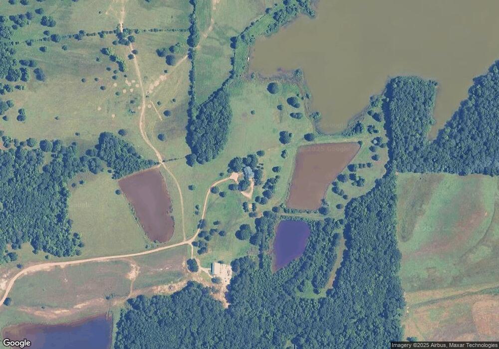
Map
Nearby Homes
- Lot 1 Old Waverly Rd
- Lot 17 Old Waverly Rd
- Lot 12 Old Waverly Rd
- Lot 18 Old Waverly Rd
- Lot 16 Old Waverly Rd
- Lot 20 Old Waverly Rd
- Lot 19 Old Waverly Rd
- Lot 13 Old Waverly Rd
- Lot 14 Old Waverly Rd
- Lot 21 Old Waverly Rd
- Lot 22 Old Waverly Rd
- Lot 15 Old Waverly Rd
- 0 Waverly Rd Unit 26355692
- 120 Nelda Dr
- 712 Pate Rd
- 72 Melba St
- 0 Riverchase Dr
- 0 Dogwood Dr (Lot 21) Unit 26-332
- 0 Dogwood Dr (Lot 15)
- 0 Dogwood Dr (Lot 20) Unit 26-331
Your Personal Tour Guide
Ask me questions while you tour the home.