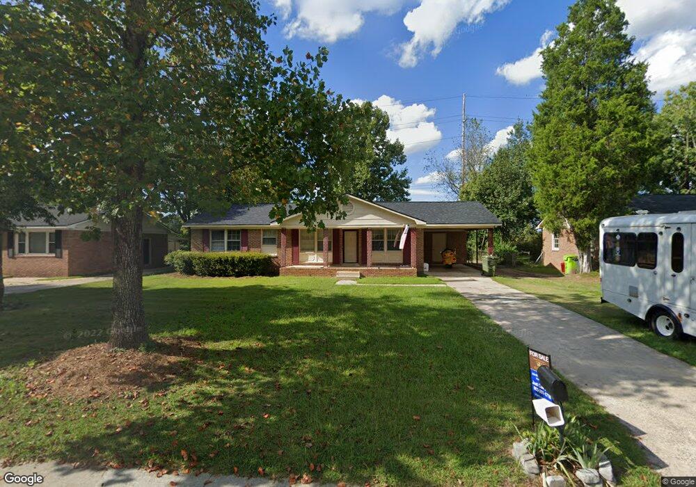
2333 Coco Rd Columbia, SC 29210
Saint Andrews NeighborhoodEstimated Value: $183,000 - $209,000
3
Beds
2
Baths
1,200
Sq Ft
$161/Sq Ft
Est. Value
About This Home
This home is located at 2333 Coco Rd, Columbia, SC 29210 and is currently estimated at $192,645, approximately $160 per square foot. 2333 Coco Rd is a home located in Richland County with nearby schools including Sandel Elementary School, St. Andrews Middle School, and Columbia High School.
Ownership History
Date
Name
Owned For
Owner Type
Purchase Details
Closed on
Sep 11, 2023
Sold by
Graham Sharon
Bought by
Brown Mary Lee
Current Estimated Value
Home Financials for this Owner
Home Financials are based on the most recent Mortgage that was taken out on this home.
Original Mortgage
$176,739
Outstanding Balance
$171,052
Interest Rate
6.9%
Mortgage Type
FHA
Estimated Equity
$21,593
Purchase Details
Closed on
May 5, 2006
Sold by
Graham Charles N
Bought by
Graham Sharon
Create a Home Valuation Report for This Property
The Home Valuation Report is an in-depth analysis detailing your home's value as well as a comparison with similar homes in the area
Home Values in the Area
Average Home Value in this Area
Purchase History
| Date | Buyer | Sale Price | Title Company |
|---|---|---|---|
| Brown Mary Lee | $180,000 | South Carolina Title | |
| Graham Sharon | -- | None Available |
Source: Public Records
Mortgage History
| Date | Status | Borrower | Loan Amount |
|---|---|---|---|
| Open | Brown Mary Lee | $176,739 |
Source: Public Records
Tax History
| Year | Tax Paid | Tax Assessment Tax Assessment Total Assessment is a certain percentage of the fair market value that is determined by local assessors to be the total taxable value of land and additions on the property. | Land | Improvement |
|---|---|---|---|---|
| 2024 | $5,069 | $180,000 | $12,000 | $168,000 |
| 2023 | $4,946 | $2,896 | $0 | $0 |
| 2022 | $2,285 | $72,400 | $9,200 | $63,200 |
| 2021 | $2,272 | $4,340 | $0 | $0 |
| 2020 | $2,283 | $4,340 | $0 | $0 |
| 2019 | $2,256 | $4,340 | $0 | $0 |
| 2018 | $2,125 | $4,090 | $0 | $0 |
| 2017 | $2,067 | $4,090 | $0 | $0 |
| 2016 | $2,033 | $4,090 | $0 | $0 |
| 2015 | $2,006 | $4,090 | $0 | $0 |
| 2014 | $1,969 | $68,100 | $0 | $0 |
| 2013 | -- | $4,090 | $0 | $0 |
Source: Public Records
Map
Nearby Homes
- 2309 Hillbeck Dr
- 2135 Rolling Hills Rd
- 1900 Rolling Hills Rd
- 2717 Diane Dr
- 1810 Saint Michaels Rd
- 1705 Saint Michaels Rd
- 2103 Marley Dr
- 1533 Westchester Dr
- 0 Marley Dr Unit 623584
- 529 Cambout St
- 1913 Grays Inn Rd
- 1908 Grays Inn Rd
- 6509 Frost Ave
- 108 Waterford Dr
- 167 Waterford Dr
- 1204 Old Manor Rd
- 1005 Denny Rd
- 1409 Old Manor Rd
- 1101 Menlo Dr
- 1313 Old Manor Rd
Your Personal Tour Guide
Ask me questions while you tour the home.