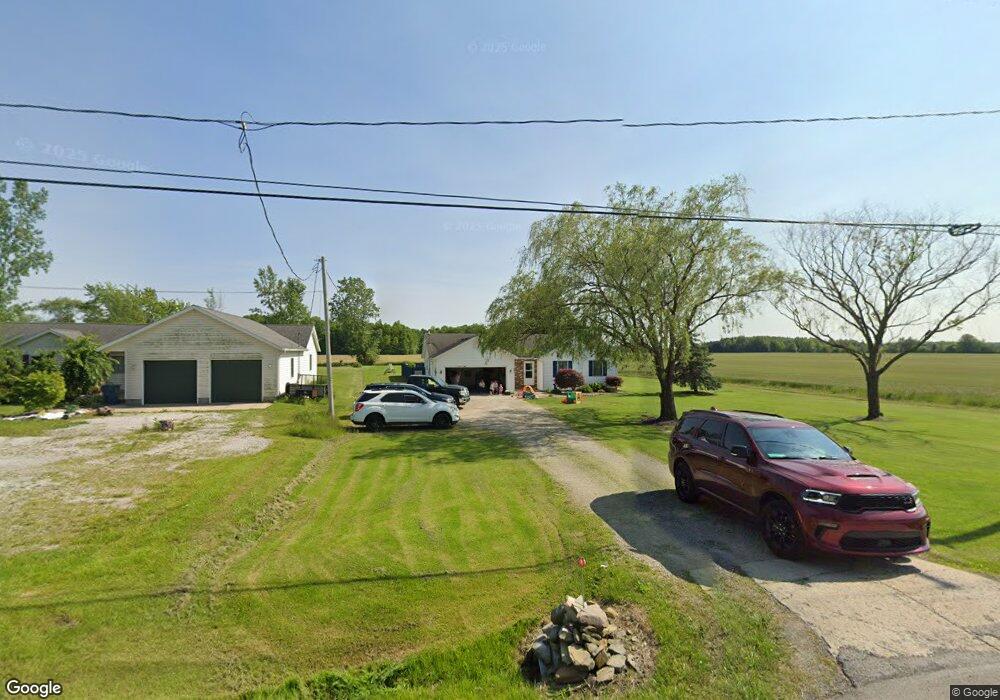
2333 State Route 20 Collins, OH 44826
Estimated Value: $206,000 - $298,000
3
Beds
2
Baths
1,248
Sq Ft
$198/Sq Ft
Est. Value
About This Home
This home is located at 2333 State Route 20, Collins, OH 44826 and is currently estimated at $246,713, approximately $197 per square foot. 2333 State Route 20 is a home located in Huron County with nearby schools including Western Reserve Elementary School, Western Reserve Middle School, and Western Reserve High School.
Ownership History
Date
Name
Owned For
Owner Type
Purchase Details
Closed on
May 13, 2004
Bought by
Cantrill Milton L and Cantrill Daneile
Current Estimated Value
Purchase Details
Closed on
Dec 1, 1995
Sold by
Molesky Timothy A
Bought by
Cantrill Milton L
Home Financials for this Owner
Home Financials are based on the most recent Mortgage that was taken out on this home.
Original Mortgage
$92,597
Outstanding Balance
$1,907
Interest Rate
7.44%
Mortgage Type
VA
Estimated Equity
$244,806
Create a Home Valuation Report for This Property
The Home Valuation Report is an in-depth analysis detailing your home's value as well as a comparison with similar homes in the area
Home Values in the Area
Average Home Value in this Area
Purchase History
| Date | Buyer | Sale Price | Title Company |
|---|---|---|---|
| Cantrill Milton L | -- | -- | |
| Cantrill Milton L | $89,900 | -- | |
| Cantrill Milton L | $89,900 | -- |
Source: Public Records
Mortgage History
| Date | Status | Borrower | Loan Amount |
|---|---|---|---|
| Open | Cantrill Milton L | $92,597 |
Source: Public Records
Tax History Compared to Growth
Tax History
| Year | Tax Paid | Tax Assessment Tax Assessment Total Assessment is a certain percentage of the fair market value that is determined by local assessors to be the total taxable value of land and additions on the property. | Land | Improvement |
|---|---|---|---|---|
| 2024 | $2,489 | $70,170 | $9,020 | $61,150 |
| 2023 | $2,489 | $50,990 | $6,500 | $44,490 |
| 2022 | $1,889 | $50,990 | $6,500 | $44,490 |
| 2021 | $1,945 | $50,990 | $6,500 | $44,490 |
| 2020 | $1,828 | $45,740 | $6,500 | $39,240 |
| 2019 | $1,820 | $45,740 | $6,500 | $39,240 |
| 2018 | $1,801 | $45,740 | $6,500 | $39,240 |
| 2017 | $1,558 | $40,140 | $6,500 | $33,640 |
| 2016 | $1,531 | $40,140 | $6,500 | $33,640 |
| 2015 | $1,517 | $40,150 | $6,510 | $33,640 |
| 2014 | $1,528 | $39,240 | $6,510 | $32,730 |
| 2013 | $1,391 | $39,240 | $6,510 | $32,730 |
Source: Public Records
Map
Nearby Homes
- 3713 Medusa Rd
- 3257 Hartland Center Rd
- 3055 Hartland Center Rd
- 2904 Zenobia Rd
- 6414 Tennant Rd
- 13701 Andress Rd
- 27 Whitefield Blvd
- 14 Whitefield Blvd
- 4709 State Route 113 E
- 0 Millwood Ln Unit 20252328
- 0 Millwood Ln Unit 20252327
- 121 Leisure Ln
- 112 State Route 61 Unit 25
- 0 Cleveland Rd
- 5054 State Route 601
- 17 Sara Dr
- 34 Old State Rd N
- 431 Old State Rd S
- 4718 Brushwood Rd
- 4925 Old State Rd N
- 2359 Us Hwy 20
- 2383 Sr 20
- 2383 State Route 20
- 2356 St Rt 20
- 2356 State Route 20
- 2383 St Rt 20
- 2225 Us Highway 20 E
- 2225 U S 20
- 2483 State Route 20
- 2531 State Route 20
- 2541 E State Route 20
- 2541 St Rt 20
- 2541 St Rt 20
- 2541 State Route 20
- 4199 W Collins Rd
- 0 State Route 20 Unit 20185707
- 0 State Route 20 Unit 20182819
- 4210 W Collins Rd
- 4221 W Collins Rd
- 2577 State Route 20