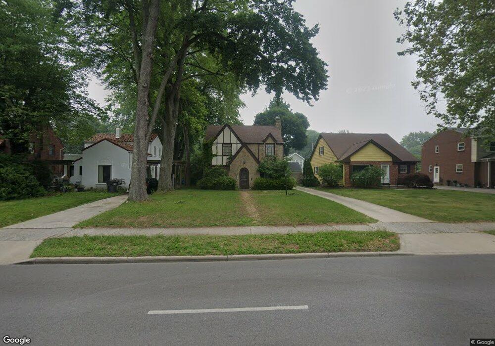
2334 Secor Rd Toledo, OH 43606
Estimated Value: $233,000 - $264,000
3
Beds
2
Baths
1,640
Sq Ft
$151/Sq Ft
Est. Value
About This Home
This home is located at 2334 Secor Rd, Toledo, OH 43606 and is currently estimated at $247,804, approximately $151 per square foot. 2334 Secor Rd is a home located in Lucas County with nearby schools including Old Orchard Elementary School, Start High School, and Central Academy Of Ohio.
Ownership History
Date
Name
Owned For
Owner Type
Purchase Details
Closed on
Mar 19, 2013
Sold by
Parsons Myron and Parsons Myron Edwin
Bought by
Armstrong Arcelia
Current Estimated Value
Purchase Details
Closed on
Mar 3, 1998
Sold by
Spenard David A and Russell Susan M
Bought by
Parsons Myron Edwin and Parsons Arcelia D
Home Financials for this Owner
Home Financials are based on the most recent Mortgage that was taken out on this home.
Original Mortgage
$92,150
Interest Rate
7.08%
Mortgage Type
Balloon
Purchase Details
Closed on
Oct 15, 1993
Sold by
Beauprez Greogory M
Purchase Details
Closed on
May 1, 1991
Sold by
Bauer Kenneth A and Bauer Susan T
Purchase Details
Closed on
Jan 31, 1989
Sold by
Corrigan Douglas James
Create a Home Valuation Report for This Property
The Home Valuation Report is an in-depth analysis detailing your home's value as well as a comparison with similar homes in the area
Home Values in the Area
Average Home Value in this Area
Purchase History
| Date | Buyer | Sale Price | Title Company |
|---|---|---|---|
| Armstrong Arcelia | -- | None Available | |
| Parsons Myron Edwin | $97,000 | Louisville Title Agency For | |
| -- | $91,000 | -- | |
| -- | $89,000 | -- | |
| -- | $89,500 | -- |
Source: Public Records
Mortgage History
| Date | Status | Borrower | Loan Amount |
|---|---|---|---|
| Previous Owner | Parsons Myron Edwin | $92,150 |
Source: Public Records
Tax History
| Year | Tax Paid | Tax Assessment Tax Assessment Total Assessment is a certain percentage of the fair market value that is determined by local assessors to be the total taxable value of land and additions on the property. | Land | Improvement |
|---|---|---|---|---|
| 2025 | -- | $59,080 | $9,730 | $49,350 |
| 2024 | $1,784 | $59,080 | $9,730 | $49,350 |
| 2023 | $3,846 | $61,565 | $8,505 | $53,060 |
| 2022 | $3,849 | $61,565 | $8,505 | $53,060 |
| 2021 | $3,949 | $61,565 | $8,505 | $53,060 |
| 2020 | $3,750 | $51,730 | $7,035 | $44,695 |
| 2019 | $3,651 | $51,730 | $7,035 | $44,695 |
| 2018 | $3,567 | $51,730 | $7,035 | $44,695 |
| 2017 | $3,550 | $47,495 | $7,805 | $39,690 |
| 2016 | $3,524 | $135,700 | $22,300 | $113,400 |
| 2015 | $3,484 | $135,700 | $22,300 | $113,400 |
| 2014 | $2,987 | $47,500 | $7,810 | $39,690 |
| 2013 | $2,987 | $47,500 | $7,810 | $39,690 |
Source: Public Records
Map
Nearby Homes
- 2356 Secor Rd
- 3324 Darlington Rd
- 3305 W Bancroft St
- 3225 Kenwood Blvd
- 3456 Gallatin Rd
- 2509 Meadowwood Dr
- 3155 Kylemore Rd
- 3205 Kylemore Rd
- 2410 Drummond Rd
- 2360 Cheltenham Rd
- 3614 Edgevale Rd
- 2850 Kenwood Blvd
- 3707 W Bancroft St
- 2702 Goddard Rd
- 2714 Evergreen Rd
- 2804 Goddard Rd
- 2148 Emkay Dr
- 2904 Isha Laye Way
- 3010 W Central Ave Unit 105
- 3010 W Central Ave
- 2338 Secor Rd
- 2328 Secor Rd
- 2346 Secor Rd
- 2350 Secor Rd
- 2339 Densmore Dr
- 2329 Densmore Dr
- 2318 Secor Rd
- 2345 Densmore Dr
- 2325 Densmore Dr
- 3304 Grimsby Place
- 3305 Grimsby Place
- 2349 Densmore Dr
- 2319 Densmore Dr
- 2314 Secor Rd
- 3308 Grimsby Place
- 2362 Secor Rd
- 2355 Densmore Dr
- 3309 Grimsby Place
- 2315 Densmore Dr
- 2330 Densmore Dr
Your Personal Tour Guide
Ask me questions while you tour the home.