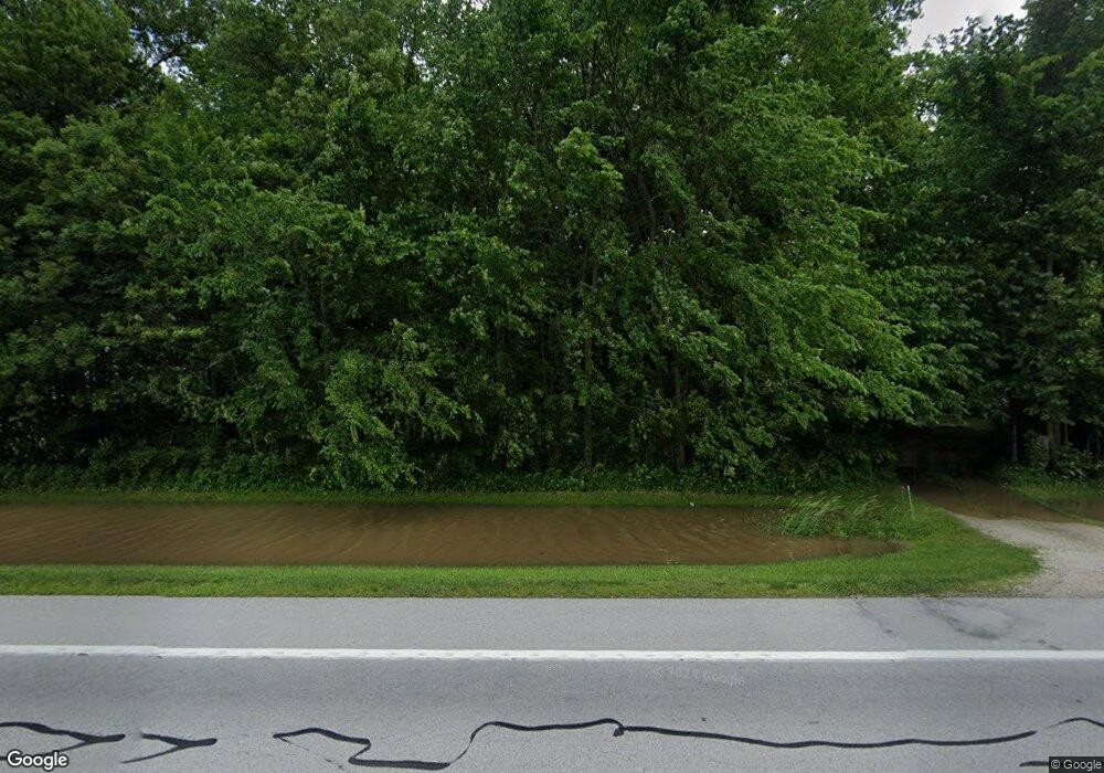
2335 State Route 12 Fremont, OH 43420
Estimated Value: $90,000
--
Bed
--
Bath
--
Sq Ft
3.14
Acres
About This Home
This home is located at 2335 State Route 12, Fremont, OH 43420 and is currently estimated at $90,000. 2335 State Route 12 is a home located in Sandusky County with nearby schools including Lakota Elementary School, Lakota Middle School, and Lakota High School.
Ownership History
Date
Name
Owned For
Owner Type
Purchase Details
Closed on
Nov 26, 2019
Sold by
Shultz Don and William S Maines Living Trust
Bought by
Sellards Jonathan
Current Estimated Value
Purchase Details
Closed on
Oct 22, 2018
Sold by
Maines William S Trustee
Bought by
Schultz Don Trustee
Purchase Details
Closed on
Nov 7, 2007
Sold by
Maines William S and Maines Eileen M
Bought by
Maines William S and William S Maines Living Trust
Purchase Details
Closed on
Aug 24, 1999
Sold by
Calmes Eugene J
Bought by
Maines William S and Maines Eileen M
Purchase Details
Closed on
Sep 20, 1996
Sold by
Jack R Rose
Bought by
Eugene J Calmes
Purchase Details
Closed on
Nov 1, 1990
Sold by
Maines William S and Maines Eile
Bought by
Maines William S Trustee
Purchase Details
Closed on
Mar 1, 1989
Sold by
Maines William S and Maines Eile
Bought by
Maines William S Trustee
Purchase Details
Closed on
Jan 1, 1989
Bought by
Maines William S Trustee
Create a Home Valuation Report for This Property
The Home Valuation Report is an in-depth analysis detailing your home's value as well as a comparison with similar homes in the area
Home Values in the Area
Average Home Value in this Area
Purchase History
| Date | Buyer | Sale Price | Title Company |
|---|---|---|---|
| Sellards Jonathan | $62,000 | First American Title Ins | |
| Schultz Don Trustee | -- | -- | |
| Maines William S | -- | Attorney | |
| Maines William S | $16,500 | -- | |
| Eugene J Calmes | $16,500 | -- | |
| Maines William S Trustee | $15,000 | -- | |
| Maines William S Trustee | -- | -- | |
| Maines William S Trustee | $36,000 | -- |
Source: Public Records
Tax History Compared to Growth
Tax History
| Year | Tax Paid | Tax Assessment Tax Assessment Total Assessment is a certain percentage of the fair market value that is determined by local assessors to be the total taxable value of land and additions on the property. | Land | Improvement |
|---|---|---|---|---|
| 2024 | $449 | $12,670 | $12,670 | $0 |
| 2023 | $449 | $9,520 | $9,520 | $0 |
| 2022 | $391 | $9,520 | $9,520 | $0 |
| 2021 | $391 | $9,520 | $9,520 | $0 |
| 2020 | $332 | $7,980 | $7,980 | $0 |
| 2019 | $329 | $7,980 | $7,980 | $0 |
| 2018 | $318 | $7,770 | $7,770 | $0 |
| 2017 | $315 | $7,770 | $7,770 | $0 |
| 2016 | $294 | $7,770 | $7,770 | $0 |
| 2015 | $308 | $7,770 | $7,770 | $0 |
| 2014 | $317 | $7,740 | $7,740 | $0 |
| 2013 | $311 | $7,740 | $7,740 | $0 |
Source: Public Records
Map
Nearby Homes
- 2231 County Road 23
- 2595 County Road 13
- 855 Rambo Ln
- 0 State Route 590 Unit 6136844
- 8399 N County Road 31
- 203 Washington St
- 230 State St
- 0 State Route 224 Unit 20240095
- 704 County Road 126
- 17 Adams Dr
- 2484 Buckland Ave
- 43 Sun Valley Dr Unit 43
- 132 E Township Road 152
- 350 Conner Dr
- 1970 Morrison Rd
- 1818 Finley Dr
- 41 Brookview Dr
- 10 Meadowbrook Dr
- 10 Meadowbrook Ln
- 64 River Run Dr Unit J
- 2343 State Route 12
- 2379 State Route 12
- 2281 State Route 12
- 1665 County Road 15
- 2477 State Route 12
- 2208 County Road 12
- 1536 County Road 15
- 2215 State Route 12
- 2215 Ohio 12
- 2667 State Route 12
- 2611 State Route 12
- 2695 State Route 12
- 2683 State Route 12
- 2651 State Route 12
- 2638 County Road 118
- 2613 County Road 118
- 2635 County Road 118
- 1785 County Road 23
- 2641 County Road 118
- 2651 County Road 118
