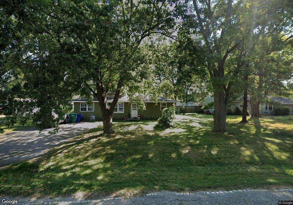
2336 S File Dr Decatur, IL 62521
Rock Springs NeighborhoodEstimated Value: $102,953 - $137,000
--
Bed
--
Bath
1,152
Sq Ft
$106/Sq Ft
Est. Value
About This Home
This home is located at 2336 S File Dr, Decatur, IL 62521 and is currently estimated at $122,488, approximately $106 per square foot. 2336 S File Dr is a home located in Macon County with nearby schools including South Shores Elementary School, Stephen Decatur Middle School, and Maranatha Christian Academy.
Create a Home Valuation Report for This Property
The Home Valuation Report is an in-depth analysis detailing your home's value as well as a comparison with similar homes in the area
Home Values in the Area
Average Home Value in this Area
Tax History Compared to Growth
Tax History
| Year | Tax Paid | Tax Assessment Tax Assessment Total Assessment is a certain percentage of the fair market value that is determined by local assessors to be the total taxable value of land and additions on the property. | Land | Improvement |
|---|---|---|---|---|
| 2024 | $2,411 | $29,618 | $5,482 | $24,136 |
| 2023 | $2,172 | $26,841 | $5,482 | $21,359 |
| 2022 | $2,095 | $25,607 | $5,230 | $20,377 |
| 2021 | $1,939 | $24,360 | $4,975 | $19,385 |
| 2020 | $1,859 | $23,090 | $4,716 | $18,374 |
| 2019 | $1,859 | $23,090 | $4,716 | $18,374 |
| 2018 | $1,740 | $22,210 | $4,536 | $17,674 |
| 2017 | $1,700 | $22,003 | $4,494 | $17,509 |
| 2016 | $1,707 | $21,957 | $4,485 | $17,472 |
| 2015 | $1,583 | $21,317 | $4,354 | $16,963 |
| 2014 | $1,475 | $21,106 | $4,311 | $16,795 |
| 2013 | $1,441 | $21,106 | $4,311 | $16,795 |
Source: Public Records
Map
Nearby Homes
- 2529 W Alice Ln
- 2207 Forest Crest Dr
- 1739 Moorwood Dr
- 15 Calumet Rd
- 2705 S Taylor Rd
- 2970 Olympia Dr
- 3031 Heritage Rd
- 1833 Burning Tree Dr
- 3316 Ferris Dr
- 1740 S Fairview Ave
- 1745 Heritage Rd
- 345 S Westdale Ave
- 353 S Linden Ave
- 310 S Glencoe Ave
- 285 S Glencoe Ave
- 248 S Linden Ave
- 134 Madison Dr
- 4220 S Lake Ct
- 215 S Glencoe Ave
- 636 S Sycamore St