233624 Melotik Ln Birnamwood, WI 54414
Estimated Value: $214,000 - $486,244
3
Beds
2
Baths
1,696
Sq Ft
$221/Sq Ft
Est. Value
About This Home
This home is located at 233624 Melotik Ln, Birnamwood, WI 54414 and is currently estimated at $374,415, approximately $220 per square foot. 233624 Melotik Ln is a home located in Marathon County with nearby schools including Wittenberg-Birnamwood High School.
Ownership History
Date
Name
Owned For
Owner Type
Purchase Details
Closed on
May 24, 2013
Sold by
Wincentsen Gregory S and Wincentsen Linda J
Bought by
Melville Allen E and Melville Jeanne M
Current Estimated Value
Home Financials for this Owner
Home Financials are based on the most recent Mortgage that was taken out on this home.
Original Mortgage
$272,000
Outstanding Balance
$191,873
Interest Rate
3.38%
Mortgage Type
Purchase Money Mortgage
Estimated Equity
$182,542
Create a Home Valuation Report for This Property
The Home Valuation Report is an in-depth analysis detailing your home's value as well as a comparison with similar homes in the area
Home Values in the Area
Average Home Value in this Area
Purchase History
| Date | Buyer | Sale Price | Title Company |
|---|---|---|---|
| Melville Allen E | $227,000 | None Available |
Source: Public Records
Mortgage History
| Date | Status | Borrower | Loan Amount |
|---|---|---|---|
| Open | Melville Allen E | $272,000 |
Source: Public Records
Tax History Compared to Growth
Tax History
| Year | Tax Paid | Tax Assessment Tax Assessment Total Assessment is a certain percentage of the fair market value that is determined by local assessors to be the total taxable value of land and additions on the property. | Land | Improvement |
|---|---|---|---|---|
| 2024 | $2,744 | $399,100 | $116,000 | $283,100 |
| 2023 | $4,384 | $223,100 | $68,900 | $154,200 |
| 2022 | $4,184 | $223,100 | $68,900 | $154,200 |
| 2021 | $4,279 | $223,100 | $68,900 | $154,200 |
| 2020 | $3,855 | $223,100 | $68,900 | $154,200 |
| 2019 | $4,014 | $223,100 | $68,900 | $154,200 |
| 2018 | $3,841 | $223,100 | $68,900 | $154,200 |
| 2017 | $3,745 | $223,100 | $68,900 | $154,200 |
| 2016 | $3,734 | $223,100 | $68,900 | $154,200 |
| 2015 | $3,926 | $223,100 | $68,900 | $154,200 |
| 2014 | $3,979 | $223,100 | $68,900 | $154,200 |
Source: Public Records
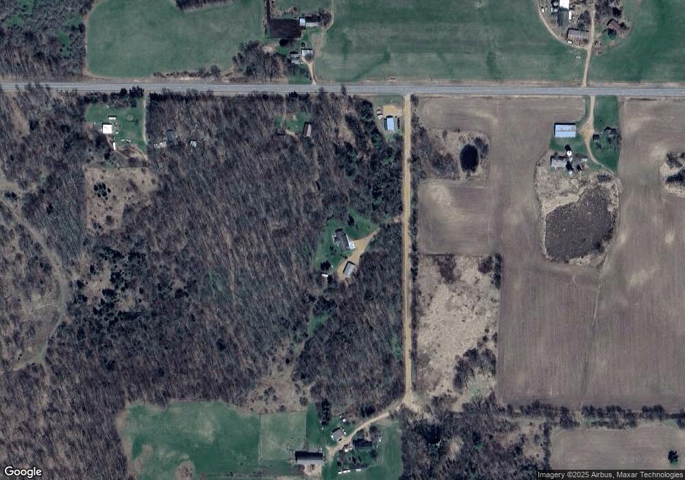
Map
Nearby Homes
- N10595 State Highway 45
- Highway 45
- ON Emma St Unit 1.6 Acres
- N10595 U S 45
- 0 Killdeer Ln Unit 50317263
- 0 Killdeer Ln Unit 25312901
- 01 Matthew Dr
- 02 Matthew Dr
- 0 Birnamwood Rd
- 612 High St
- 455 Main St
- 175791 County Road z
- 236934 Eau Claire River Rd
- 0 U S 45
- 337 Railroad St
- Lot 3 Eau Claire River Rd
- 190 County Rd N
- 02 State Highway 45
- 225156 Frederick Dr
- 225600 County Road Y
- 182855 County Road z
- 182884 County Road z
- 182679 County Road z
- 1850 Bluebird Ln
- 182290 County Road z
- 183811 Carlson Ln
- 181981 County Road z
- 0 Hwy Z Unit 50058035
- 181906 County Road z
- 181857 County Road z
- P1865 S Pole Rd
- P1858 S Pole Rd
- 233634 S Pole Rd
- 233488 S Pole Rd
- 233362 County Road D
- 233776 County Road D
- 233425 County Road D
- 232855 S Pole Rd
- 232855 S Pole Rd
- P1954 Highland Dr