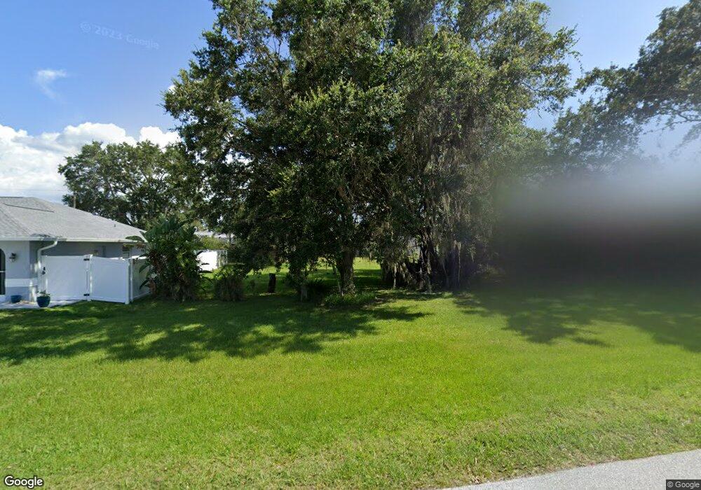
23365 Swallow Ave Port Charlotte, FL 33954
Estimated Value: $344,000 - $540,000
3
Beds
3
Baths
2,457
Sq Ft
$176/Sq Ft
Est. Value
About This Home
This home is located at 23365 Swallow Ave, Port Charlotte, FL 33954 and is currently estimated at $431,560, approximately $175 per square foot. 23365 Swallow Ave is a home located in Charlotte County with nearby schools including Kingsway Elementary School, Port Charlotte Middle School, and Port Charlotte High School.
Ownership History
Date
Name
Owned For
Owner Type
Purchase Details
Closed on
Oct 25, 2024
Sold by
Colon John B and Colon Ellie N
Bought by
Lara-Garcia Gustavo and Decasas Maria De
Current Estimated Value
Purchase Details
Closed on
Dec 19, 1997
Sold by
Stevens Carol A
Bought by
Colon John B and Colon Ellie N
Home Financials for this Owner
Home Financials are based on the most recent Mortgage that was taken out on this home.
Original Mortgage
$104,000
Interest Rate
7.26%
Purchase Details
Closed on
Jun 30, 1997
Sold by
Stevens James V and Stevens Carol A
Bought by
Stevens Carol A
Create a Home Valuation Report for This Property
The Home Valuation Report is an in-depth analysis detailing your home's value as well as a comparison with similar homes in the area
Home Values in the Area
Average Home Value in this Area
Purchase History
| Date | Buyer | Sale Price | Title Company |
|---|---|---|---|
| Lara-Garcia Gustavo | $355,000 | Suncoast One Title & Closings | |
| Colon John B | $130,000 | -- | |
| Stevens Carol A | -- | -- |
Source: Public Records
Mortgage History
| Date | Status | Borrower | Loan Amount |
|---|---|---|---|
| Previous Owner | Colon John B | $104,000 |
Source: Public Records
Tax History Compared to Growth
Tax History
| Year | Tax Paid | Tax Assessment Tax Assessment Total Assessment is a certain percentage of the fair market value that is determined by local assessors to be the total taxable value of land and additions on the property. | Land | Improvement |
|---|---|---|---|---|
| 2023 | $3,412 | $183,500 | $0 | $0 |
| 2022 | $3,417 | $178,155 | $0 | $0 |
| 2021 | $3,411 | $172,966 | $0 | $0 |
| 2020 | $3,338 | $170,578 | $0 | $0 |
| 2019 | $3,233 | $166,743 | $0 | $0 |
| 2018 | $3,018 | $163,634 | $0 | $0 |
| 2017 | $2,987 | $160,268 | $0 | $0 |
| 2016 | $2,966 | $156,972 | $0 | $0 |
| 2015 | $2,963 | $155,881 | $0 | $0 |
| 2014 | $2,917 | $154,644 | $0 | $0 |
Source: Public Records
Map
Nearby Homes
- 23348 Mullins Ave
- 268 Wabash Terrace
- 184 Robina St
- 230 Viceroy Terrace
- 249 Hallcrest Terrace
- 145 Robina St
- 23338 Duchess Ave
- 72 Norman St
- 23482 and 23490 Freeport Ave
- 23370 Garrison Ave
- 164 Morgan
- 23366 Lehigh Ave
- 23466 Garrett Ave
- 23267 Hartley Ave
- 23531 Dunstan Ave
- 23347 Lehigh Ave
- 23136 Langdon Ave
- 23133 Lindale Ave
- 23149 Hammond Ave
- 23167 Turnbull Ave
- 23357 Swallow Ave
- 216 Appian St
- 215 Appian St
- 23373 Swallow Ave
- 23356 Painter Ave
- 23364 Painter Ave
- 23341 Swallow Ave
- 23348 Painter Ave
- 23372 Painter Ave
- 208 Appian St
- 23383 Swallow Ave
- 215 Norman St
- 216 Harrisburg St
- 23340 Painter Ave
- 23333 Swallow Ave
- 23382 Painter Ave
- 200 Appian St
- 199 Appian St
- 23260 Swallow Ave
- 23332 Painter Ave