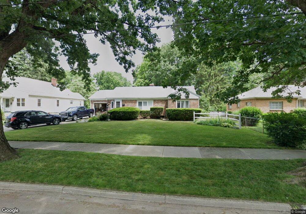
2338 Dana St Toledo, OH 43609
Southside NeighborhoodEstimated Value: $145,000 - $158,114
3
Beds
1
Bath
1,429
Sq Ft
$107/Sq Ft
Est. Value
About This Home
This home is located at 2338 Dana St, Toledo, OH 43609 and is currently estimated at $153,029, approximately $107 per square foot. 2338 Dana St is a home located in Lucas County with nearby schools including Burroughs Elementary School, Bowsher High School, and Toledo SMART Bilingual Elementary.
Ownership History
Date
Name
Owned For
Owner Type
Purchase Details
Closed on
Jun 13, 2025
Sold by
Rahn Christopher J and Rahn Diane L
Bought by
Robinson Thomas and Hunt Olivia
Current Estimated Value
Home Financials for this Owner
Home Financials are based on the most recent Mortgage that was taken out on this home.
Original Mortgage
$151,320
Outstanding Balance
$150,932
Interest Rate
6.81%
Mortgage Type
New Conventional
Estimated Equity
$2,097
Purchase Details
Closed on
Dec 5, 1994
Sold by
Lepiarz Henry
Bought by
Rahn Christopher J and Rahn Diane L
Home Financials for this Owner
Home Financials are based on the most recent Mortgage that was taken out on this home.
Original Mortgage
$85,500
Interest Rate
8.75%
Mortgage Type
New Conventional
Purchase Details
Closed on
Jun 20, 1989
Sold by
Leiiarz Henry J
Create a Home Valuation Report for This Property
The Home Valuation Report is an in-depth analysis detailing your home's value as well as a comparison with similar homes in the area
Home Values in the Area
Average Home Value in this Area
Purchase History
| Date | Buyer | Sale Price | Title Company |
|---|---|---|---|
| Robinson Thomas | $156,000 | None Listed On Document | |
| Rahn Christopher J | $60,000 | -- | |
| -- | $48,000 | -- |
Source: Public Records
Mortgage History
| Date | Status | Borrower | Loan Amount |
|---|---|---|---|
| Open | Robinson Thomas | $151,320 | |
| Previous Owner | Rahn Christopher J | $85,500 |
Source: Public Records
Tax History Compared to Growth
Tax History
| Year | Tax Paid | Tax Assessment Tax Assessment Total Assessment is a certain percentage of the fair market value that is determined by local assessors to be the total taxable value of land and additions on the property. | Land | Improvement |
|---|---|---|---|---|
| 2024 | $2,284 | $30,170 | $7,175 | $22,995 |
| 2023 | $2,024 | $26,565 | $5,810 | $20,755 |
| 2022 | $2,010 | $26,565 | $5,810 | $20,755 |
| 2021 | $1,957 | $26,565 | $5,810 | $20,755 |
| 2020 | $2,157 | $25,410 | $5,530 | $19,880 |
| 2019 | $2,074 | $25,410 | $5,530 | $19,880 |
| 2018 | $2,067 | $25,410 | $5,530 | $19,880 |
| 2017 | $2,188 | $24,815 | $5,390 | $19,425 |
| 2016 | $2,100 | $70,900 | $15,400 | $55,500 |
| 2015 | $1,984 | $70,900 | $15,400 | $55,500 |
| 2014 | $1,561 | $24,820 | $5,390 | $19,430 |
| 2013 | $1,561 | $24,820 | $5,390 | $19,430 |
Source: Public Records
Map
Nearby Homes
- 304 Mayberry St
- 321 Mayberry St
- 556 Apple Ave
- 2126 Airport Hwy
- 576 Bronx Dr
- 226 Somerset St
- 440 Somerset St
- 221 Somerset St
- 224 S Fearing Blvd
- 710 Durango Dr
- 2828 South Ave
- 531 Shasta Dr
- 142 S Detroit Ave
- 512 Woodsdale Ave
- 140 Whiting Ave
- 1777 South Ave
- 1754 Finch St
- 649 Wright Ave
- 705 Wright Ave
- 885 National Ave