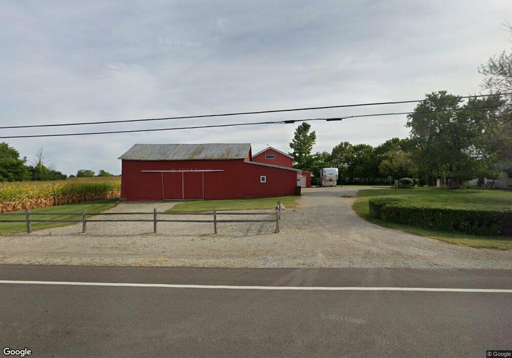
2338 Us Route 35 E West Alexandria, OH 45381
Estimated Value: $346,000 - $386,000
4
Beds
1
Bath
1,742
Sq Ft
$209/Sq Ft
Est. Value
About This Home
This home is located at 2338 Us Route 35 E, West Alexandria, OH 45381 and is currently estimated at $363,542, approximately $208 per square foot. 2338 Us Route 35 E is a home located in Preble County with nearby schools including Twin Valley South Elementary School, Twin Valley South Middle School, and Twin Valley South High School.
Ownership History
Date
Name
Owned For
Owner Type
Purchase Details
Closed on
Oct 9, 1998
Sold by
Pemberton Jeanette
Bought by
Hittle Wayne L
Current Estimated Value
Home Financials for this Owner
Home Financials are based on the most recent Mortgage that was taken out on this home.
Original Mortgage
$40,000
Outstanding Balance
$8,811
Interest Rate
6.97%
Mortgage Type
New Conventional
Estimated Equity
$354,731
Create a Home Valuation Report for This Property
The Home Valuation Report is an in-depth analysis detailing your home's value as well as a comparison with similar homes in the area
Home Values in the Area
Average Home Value in this Area
Purchase History
| Date | Buyer | Sale Price | Title Company |
|---|---|---|---|
| Hittle Wayne L | $35,000 | -- |
Source: Public Records
Mortgage History
| Date | Status | Borrower | Loan Amount |
|---|---|---|---|
| Open | Hittle Wayne L | $40,000 |
Source: Public Records
Tax History Compared to Growth
Tax History
| Year | Tax Paid | Tax Assessment Tax Assessment Total Assessment is a certain percentage of the fair market value that is determined by local assessors to be the total taxable value of land and additions on the property. | Land | Improvement |
|---|---|---|---|---|
| 2024 | $2,111 | $92,670 | $66,000 | $26,670 |
| 2023 | $2,111 | $92,670 | $66,000 | $26,670 |
| 2022 | $1,620 | $38,910 | $18,260 | $20,650 |
| 2021 | $1,609 | $74,810 | $54,160 | $20,650 |
| 2020 | $1,576 | $74,810 | $54,160 | $20,650 |
| 2019 | $1,790 | $71,390 | $51,580 | $19,810 |
| 2018 | $1,890 | $71,390 | $51,580 | $19,810 |
| 2017 | $1,749 | $71,390 | $51,580 | $19,810 |
| 2016 | $2,004 | $66,320 | $44,090 | $22,230 |
| 2014 | $2,017 | $66,300 | $44,070 | $22,230 |
| 2013 | $1,640 | $58,695 | $36,470 | $22,225 |
Source: Public Records
Map
Nearby Homes
- 99 Katherine Dr
- 86 Snapdragon Dr
- The Heath House Plan at Meadowbrook Estates
- The Aspen House Plan at Meadowbrook Estates
- The Reed II House Plan at Meadowbrook Estates
- The Rowan House Plan at Meadowbrook Estates
- The Linden House Plan at Meadowbrook Estates
- The Sequoia House Plan at Meadowbrook Estates
- 232 Goldenrod Dr
- 124 Wynona Dr
- 922 E Somers St
- 104 Wildwood Dr
- 108 Wildwood Dr
- 417 Meadowlark Ln
- 0 East Ave
- 219 Nation Ave
- 1020 Howard Ct
- 3659 Winston Ln
- 117 Vine St
- 813 Cypress Ln
- 2309 Us Route 35 E
- 2309 U S 35
- 64 Yost Rd
- 2414 Us Route 35 E
- 104 Yost Rd
- 124 Yost Rd
- 2478 Us Route 35 E
- 144 Yost Rd
- 164 Yost Rd
- 2515 Us Route 35 E
- 184 Yost Rd
- 144 Yost Rd
- 202 Yost Rd
- 2538 Us Route 35 E
- 2575 Us Route 35 E
- 250 Yost Rd
- 2621 State Route 35
- 2621 U S 35
- 2621 Us Route 35 E
- 2647 Us Route 35 E