Estimated Value: $1,408,022
3
Beds
2
Baths
1,787
Sq Ft
$788/Sq Ft
Est. Value
About This Home
This home is located at 23399 S Mulino Rd, Canby, OR 97013 and is currently estimated at $1,408,022, approximately $787 per square foot. 23399 S Mulino Rd is a home located in Clackamas County with nearby schools including Josefa L. Sambrano Elementary School, Cecile Trost Elementary School, and Carus School.
Ownership History
Date
Name
Owned For
Owner Type
Purchase Details
Closed on
Mar 25, 2019
Sold by
Borg Philip Alan and Borg Mildred Ellen
Bought by
Canby East Associates Llc
Current Estimated Value
Purchase Details
Closed on
Oct 1, 2016
Sold by
Borg Philip A and Borg Millie E
Bought by
Borg Philip E and Borg Mildred E
Purchase Details
Closed on
Mar 3, 1997
Sold by
Borg Gilbert Louis and Adelyn Borg E
Bought by
Borg Philip A and Borg Millie E
Create a Home Valuation Report for This Property
The Home Valuation Report is an in-depth analysis detailing your home's value as well as a comparison with similar homes in the area
Home Values in the Area
Average Home Value in this Area
Purchase History
| Date | Buyer | Sale Price | Title Company |
|---|---|---|---|
| Canby East Associates Llc | $967,426 | Chicago Title Company Of Or | |
| Borg Philip E | -- | None Available | |
| Borg Philip A | -- | First American Title Ins Co |
Source: Public Records
Tax History Compared to Growth
Tax History
| Year | Tax Paid | Tax Assessment Tax Assessment Total Assessment is a certain percentage of the fair market value that is determined by local assessors to be the total taxable value of land and additions on the property. | Land | Improvement |
|---|---|---|---|---|
| 2025 | $7,391 | $417,151 | -- | -- |
| 2024 | $7,183 | $405,001 | -- | -- |
| 2023 | $7,183 | $393,205 | $0 | $0 |
| 2022 | $6,607 | $381,753 | $0 | $0 |
| 2021 | $6,362 | $370,634 | $0 | $0 |
| 2020 | $6,249 | $359,839 | $0 | $0 |
| 2019 | $54,639 | $349,359 | $0 | $0 |
| 2018 | $4,673 | $272,461 | $0 | $0 |
| 2017 | $4,555 | $264,526 | $0 | $0 |
| 2016 | $4,403 | $256,823 | $0 | $0 |
| 2015 | $4,252 | $249,344 | $0 | $0 |
| 2014 | $4,129 | $242,083 | $0 | $0 |
Source: Public Records
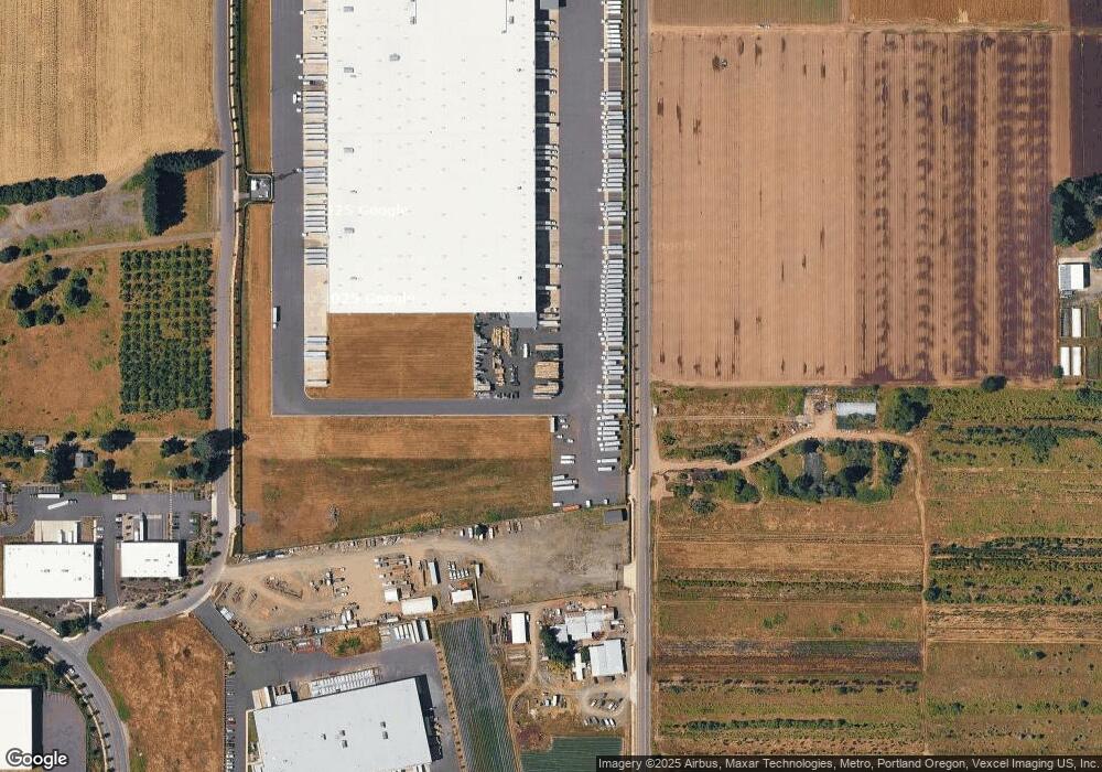
Map
Nearby Homes
- 399 S Sequoia Pkwy
- 1558 NE 10th Place
- 1072 S Walnut St
- 1620 N Sweetgum St
- 1053 S Vine St
- 2180 SE 11th Place
- 575 S Ponderosa St
- 1111 SE 3rd Ave Unit 74
- 1460 SE 9th Ave
- 2211 SE 12th Ave
- 2125 NE Spitz Rd
- 2123 NE Spitz Rd
- 1552 NE 19th Loop
- 835 SE 1st Ave Unit 64
- 835 SE 1st Ave Unit 14
- 835 SE 1st Ave Unit 12
- 835 SE 1st Ave Unit 17
- 1947 NE 21st Ave
- 582 S Maple St
- 1422 NE 18th Place
- 23397 S Mulino Rd
- 220 S Walnut St
- 23524 S Mulino Rd
- 1027 S Walnut Rd Unit Lot77
- 267 S Walnut St
- 211 S Walnut St
- 23453 S Blount Rd
- 372 Sequoia Pkwy Unit 3
- 380 Sequoia Pkwy
- 2590 SE 1st Ave
- 2486 SE 1st Ave
- 165 S Walnut St
- 2524 SE 1st Ave
- 2592 SE 1st Ave
- 368 Sequoia Pkwy Unit 2
- 0 S Blount Rd Unit Lot 1 12603071
- 0 S Blount Rd Unit Par 3 12095545
- 0 S Blount Rd
- 360 Sequoia Pkwy